Location: North 60.59084, East 005.58083 (GPS on the summit)
Difficulty: YDS class 2
Climbed October 27, 2013.
Information:
How to get there:
From Bergen, drive E-16 to the Osterøy bridge. Measure from the island
side of the bridge. Follow signs to Lonevåg arriving at the traffic circle
(after a long tunnel) at kilometer 13.5. Continue to Fotlandsvåg
at kilometer 27.5, continue straight and drive 3.4 kilometer from Fotlandsvåg.
That is, at kilometer 30.9, in a downhill with gentle curves, turn right onto a small
road. At kilometer 31.4, this road forks. The right fork climbs uphill to the base
of Klubben, with a 4WD car (or at least high clearance), you may explore this option.
An alternative is to take the left fork and park at a small parking area near the lake
at kilometer 31.5. This trailhead is at location N60.59696, E005.56969, elevation about
35 meter.
Route description:
The road that forked right 100 meter before the small parking, leads up to
an area being developed for farm purposes.
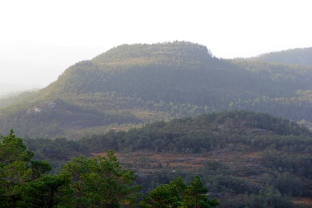
This is near the saddle that separates Klubben
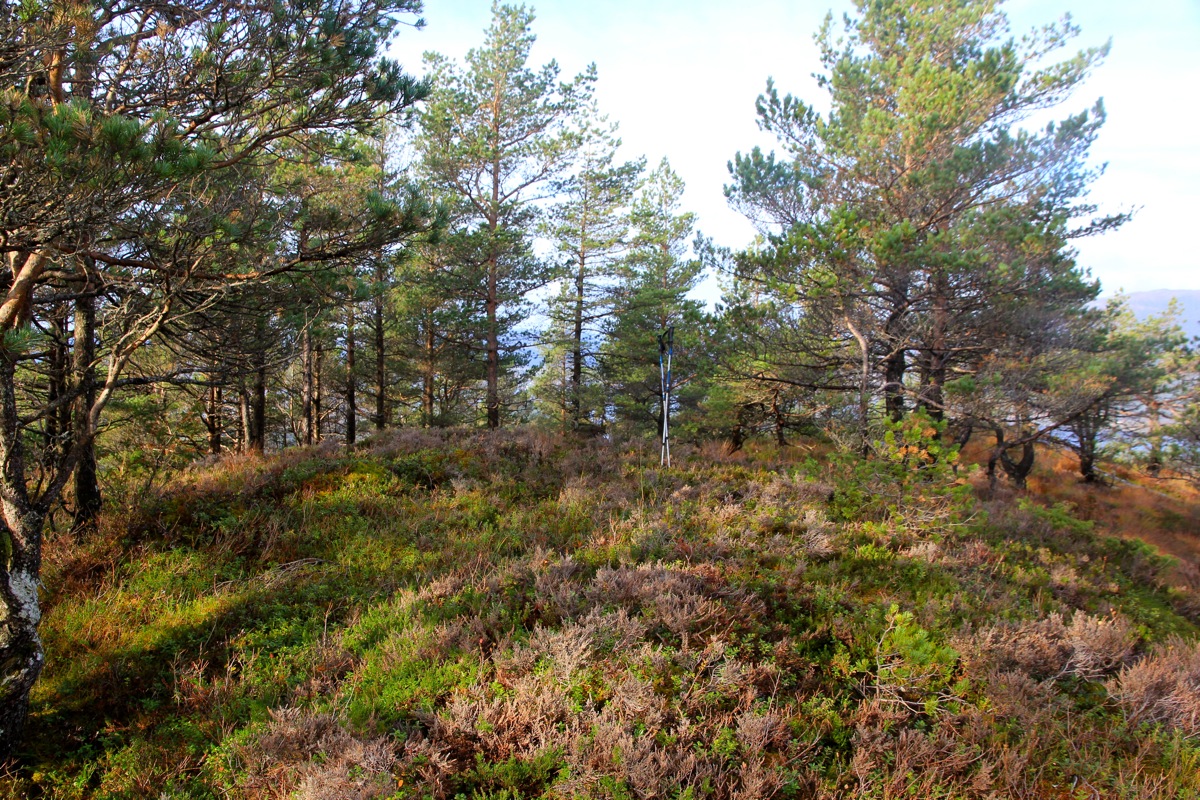
from Sørkletten. Bear right and climb easy terrain leading to the small
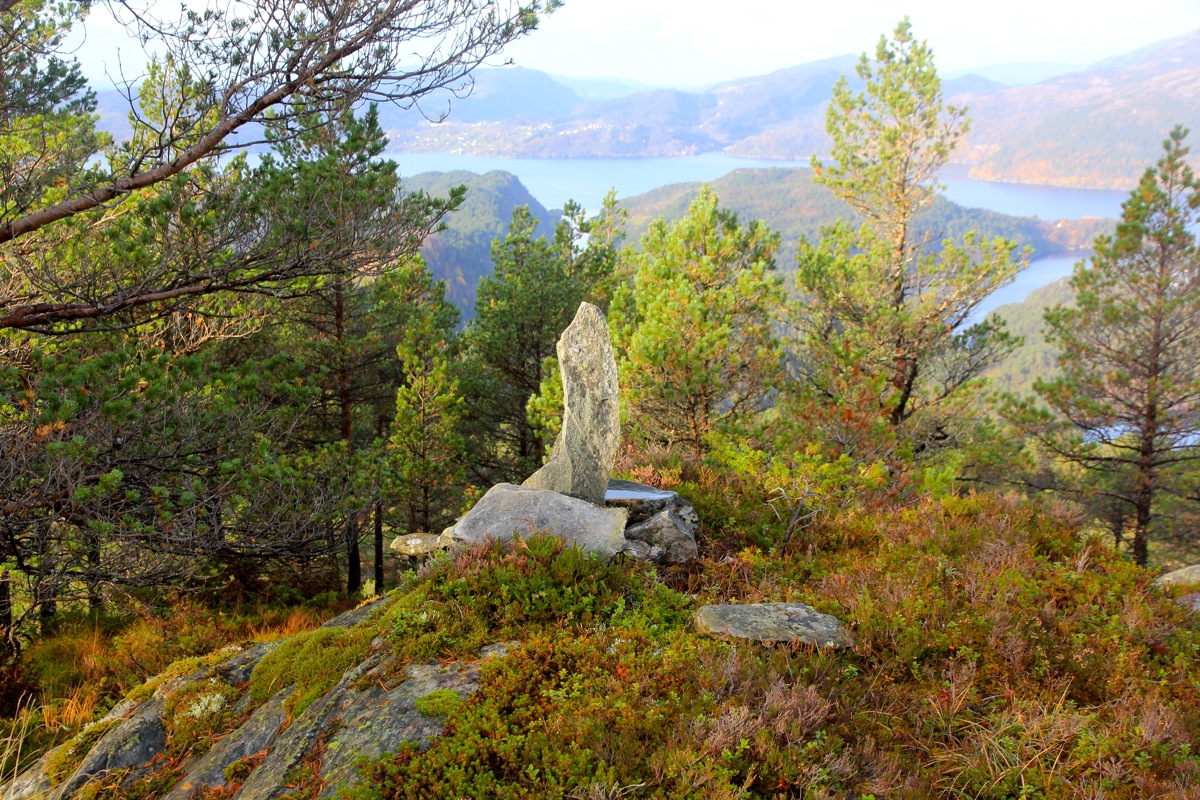
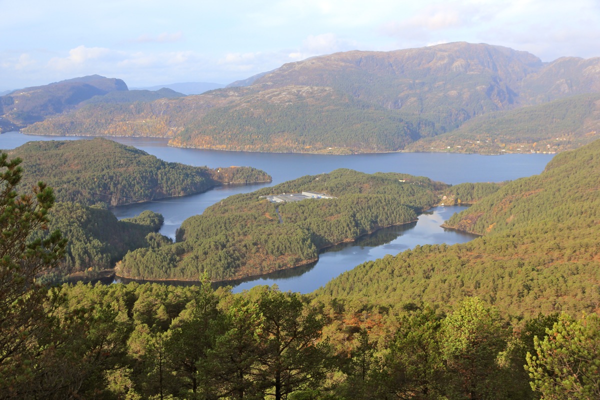
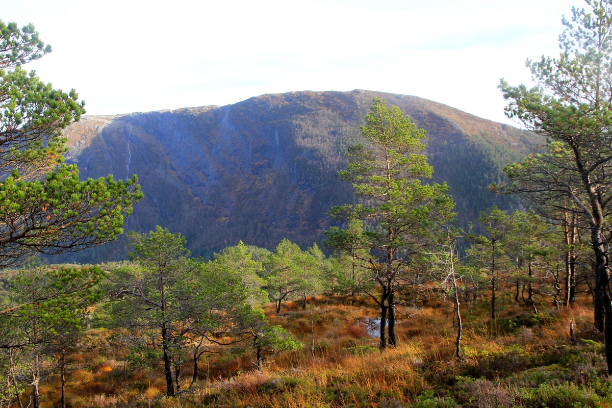
summit ridge. There is a small cairn
at a nice viewpoint a bit west of the summit.
If you park at the trailhead by the lake, then cross the grass field on the upper side in order
to gain the road without having to walk back (100 meter) to the fork.
Comments:
I visited this hill after being on Sørkletten.
It took me about 50 minutes to traverse between the two summit points. I arrived at
1225, walked around and took a few pictures
before leaving at 1235. I descended to
the farm road and followed it back down to the last grass field that I could cross in
order to get back to my car just before 1300.