How to get there:
A good point of reference is the small community Hosteland, located north
of Masfjorden. To get there from Bergen, drive north on E-39. Just before E-39
enters the 4 km long Eikefet tunnel, there is a choice of route. Forking left onto
Hwy. 570, then connect from Masfjordneset to Duesund by (cable) ferry. This is a scenic
option. Alternatively, continue on E-39 passing the two fingers of Masfjorden, then an
uphill tunnel to the intersection with Hwy. 571. Turn left here, descending on the north
side of Masfjorden to meet Hwy. 570 near Hosteland.
The third, and perhaps best way, is to use the ferry from Leirvåg. Turn left in the
very first traffic circle in Knarvik (immediately after the bridge), follow Hwy. 57 to
Leirvåg. This ferry leaves 15 minutes past the hour. The return ferry leaves
Sløvågen 15 minutes before the hour. The crossing takes 20 minutes. From
Sløvågen, you have 14 kilometer to reach Hosteland.
From Hosteland, take Hwy. 5436 north to Kvamsdalsvatnet.
Before the road turns east and just before crossing a distinct, small valley,
find parking. This location is at N60.88440, E5.26676, elevation about 70 meter.
Route description:
Follow the old forest road until it levels out at
a good sized meadow. There are some trail markers indicating
the beginning of a trail that ascends left. Follow this trail to
the summit. This trail may be somewhat hard to follow, the markers are
few and far between. However, just keep an uphill course. You will
pass a local top on your right. Higher up, you will locate a small
pond. There are 2 summit points, one directly above the pond, the other
further ahead and more right. This
latter summit is the one
you should aim for.
Comments:
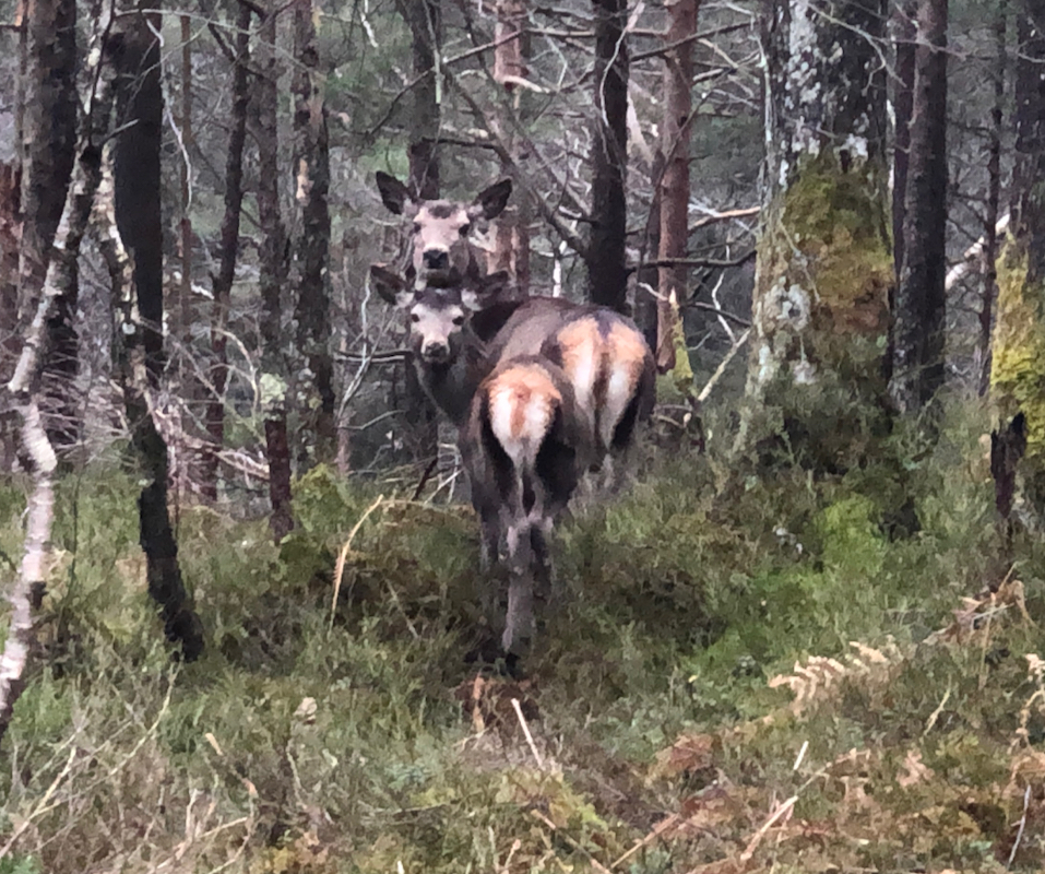
This was my last peak of the day, no. 7. On the way to the
trailhead, I noticed a couple of nice deer.
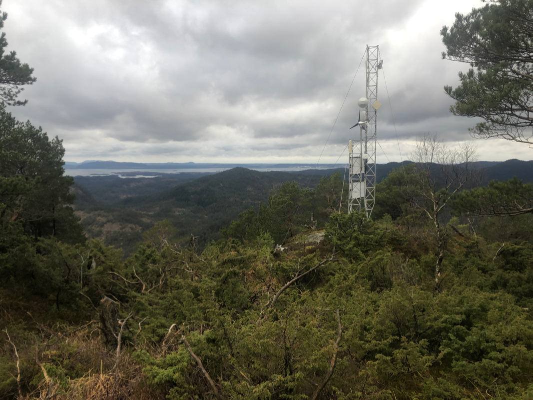
I arrived at the summit shortly before 1800.
