How to get there:
This mountain is located on the island Stord. From Bergen, the connection
is E-39 south to Halhjem, then ferry (departs every 20 minutes) to Sandvikvåg.
Continue south on E-39 until near location N59.8311, E5.5228. This is about 6 kilometer
south of Jektavik (the place where a ferry serves Tysnes). Turn right here and follow
Fjellgardsvegen. Next, turn right onto Lundssetervegen, then finally Kattnakkevegen.
Park at location 59.86121, 5.48889, elevation near 390 meter.
Route:
There are two routes that form a nice round trip walk.
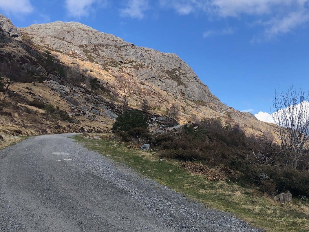
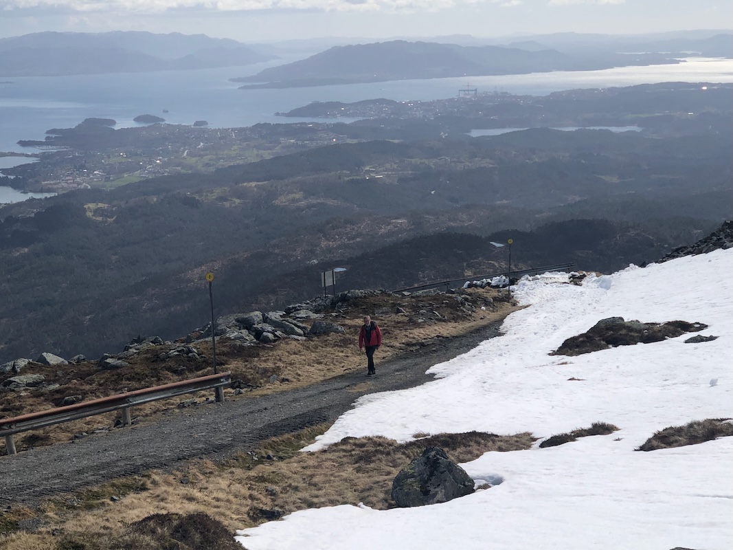
You may follow the road (locked gate)
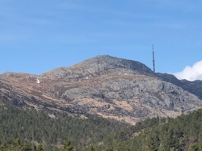
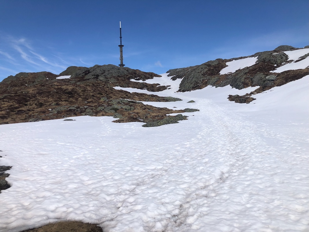
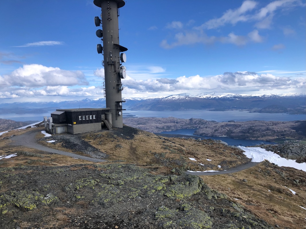
all the way up to the antenna tower, then
the summit is close nearby. Alternatively,
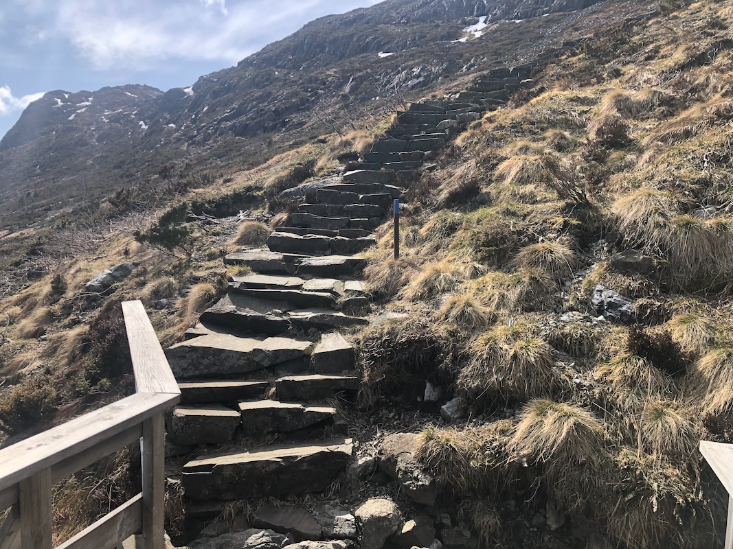
take the trail that forks left from the road about 350 meter from the parking. This trail
has been improved with stone stairs
until most of the elevation has been gained, next head
towards the tower. Comments:
I did this climb with my friend Kjell.
We had just been on Dyviksåta.
We started from the nice parking area
around 1440 and walked about 40 minutes along the road
to the summit. A brief stop
there due to cold wind. Next, a longer break for some food when down in a more
sheltered area. We were back by the car around
1530. This concluded our day trip on Stord. Takk for turen Kjell!