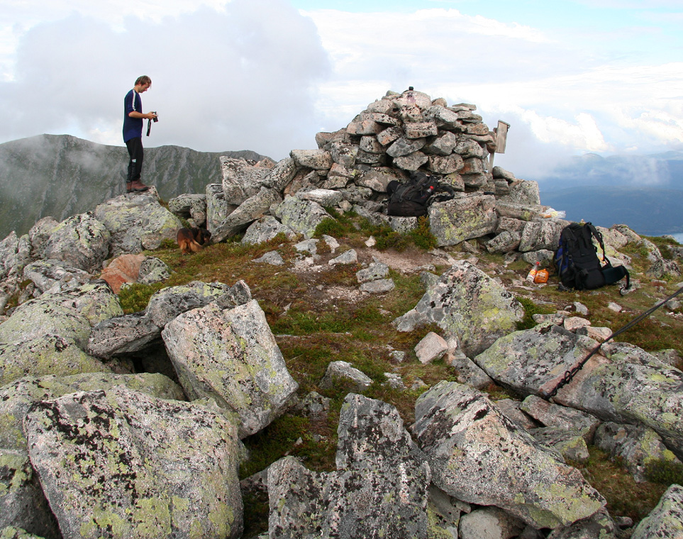
Location: North N63:10.283, East 008:05.953 (GPS at the summit)
Difficulty, YDS class 1.
Climbed August 26. 2006.
Information:
How to get there:
See the description for Skarven. The two
mountains share the same trailhead.
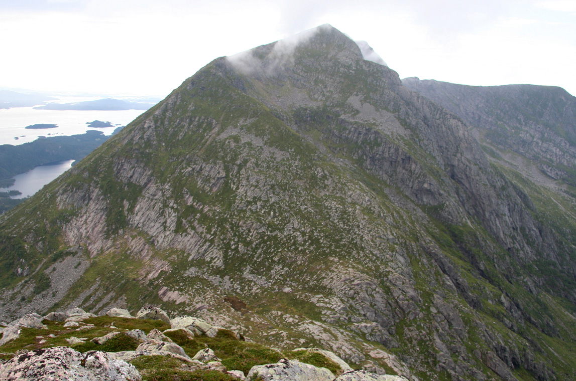
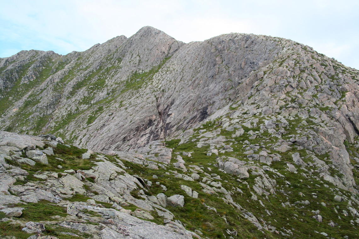
Route description:
Follow the route for Skarven until you
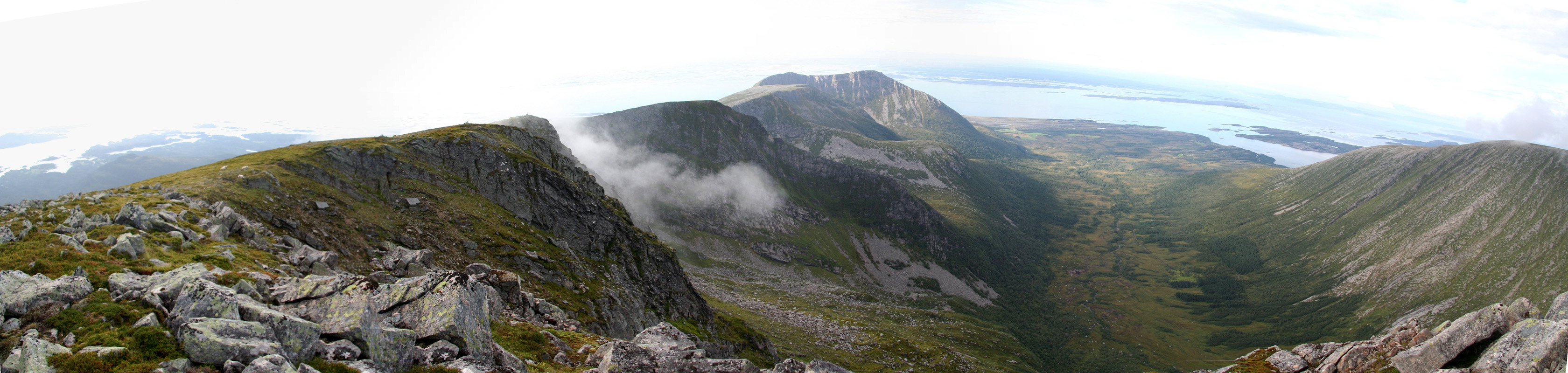
reach the saddle between the two peaks.
This location is N63:10.286, E008:06.947, elevation 490 meter.
Skarven can also be climbed from this
saddle via a trail that follows the ridge going east.
The opposite ridge (going west) holds the route to Jørenvågsalen.
Follow the trail that ascends along the ridge. Higher up, the trail
runs slightly on the left side of the ridge in order to bypass some difficulties.
It then emerges on a broader slope before reaching the cairn.
Comments:
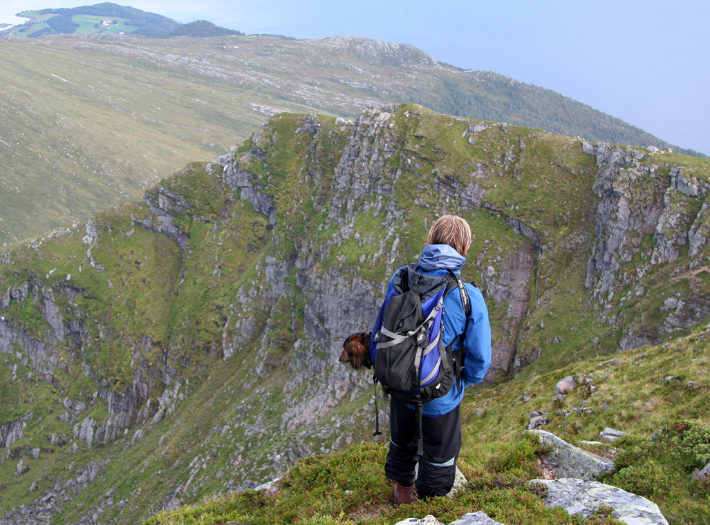
I made this climb with my friend Arnt Flatmo.
We descended from Skarven
to the connecting saddle and climbed Jørenvågsalen by following
the good trail that heads uphill from this saddle. We arrived at the summit around 1715, about 1:15 after
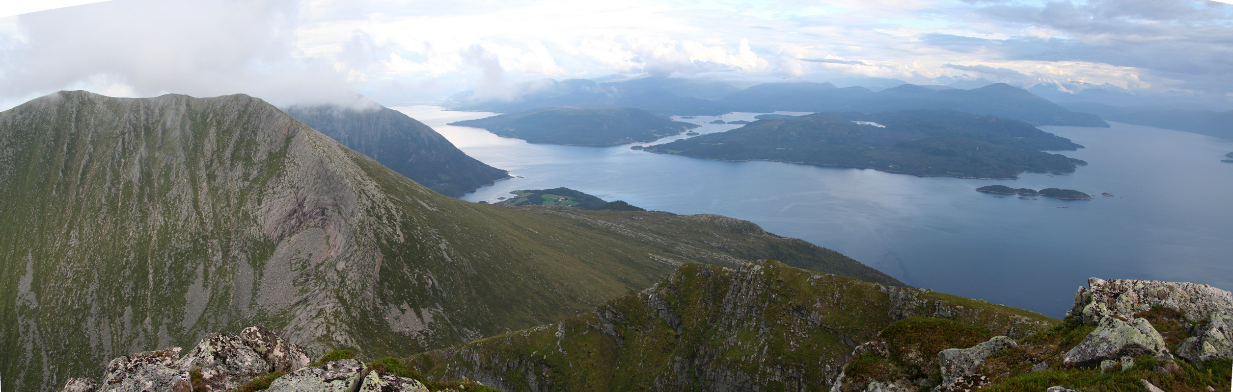
leaving the summit of Skarven. We stayed around for 30 minutes, chatting with a couple that came up from
Gullsteinsdalen to the north. We then descended back down to the saddle and headed more directly down south until
we reconnected with our route of ascent (to Skarven). One hour after leaving the summit, we were back at the
car.
Next, we drove across to the next island, Stabblandet, in order
to camp below the two "Stabbs" that we had planned for Sunday.
This was our second "Stabb", next in line was Inderbergsalen.