How to get there:
A reference location is the small village Jondal.
Jondal may be reached from E-134 by going to Odda,
then take the long tunnel crossing the penisula. From Bergen, travel Hwy. 7 to
Norheimsund, turn right here and drive to the ferry in Tørvikbygd. This ferry leaves for
Jondal 10 minutes before each hour. It departs from Jondal 20 minutes after each hour.
From Jondal, take the road 550 north to Selsvik. Turn right at the first opportunity, this is
about 5 kilometer from Jondal. Take the uphill road (sharp right). After about 300 meter this
road forks, keep right and find a small parking area immediately on your right. This is the
trailhead, location N60.30303, E006.28093, elevation about 45 meter.
Route:
Continue a short stretch curving right, on the road where you parked.
Locate a signed trail that exits left, this is before the (right) curve
on the road ends.
The trail is marked with red paint. It soon heads towards the cliff band
that runs on your rght hand side, then follows this closely going left.
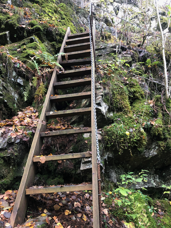
You will then arrive at a staircase
that climbs this lower cliff and exits
on a ledge going right. Next, the trail continues in more friendly
terrain gradually turning right in order to access the main, east ridge
of Jonahornet. Finally, this ridge is
followed to gain the summit.
A few ropes have been placed in slightly steeper sections, however, none
of these are really needed.
Comments:
The forecast was nice, I decided that 3 small tops near Jondal would be a sensible
goal this October day. I left early, but missed the ferry by 10 minutes, not aware of
the schedule. I was ready to start my hike at 0930.
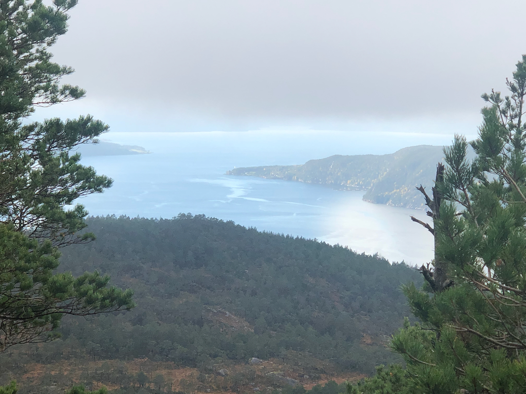
My first goal would be Gulbergnotten. The trail was easy to follow. The weather was,
however, disappointing. Low fog across a large area, no good prospects of sunshine nor
any good views of the fjord landscape.
I walked all the way to the cairn. With better visibility this is possibly a good viewpoint.
The highest point is quite a bit before, thus I walked back to locate the highest point, on
my left when returning along the trail. It had taken me 1:15 to reach this area.
I next descended back to the main col separating Gulbergnotten from its slightly lower
neighbor to the east, Tofjellet. About 20 minutes from Gulbergnotten.
My next goal was obviously, Tofjellet. There is no clear (marked) trail up here, but the
terrain is easy and I arrived at the highest point in another 20 minutes. A small cairn
marked the location. I next walked across to the summit marked on the map. This one had
a slightly larger cairn, but one should note that it is indeed lower.
The fog refused to lift or burn off. I descended back down to my car in 45 minutes.
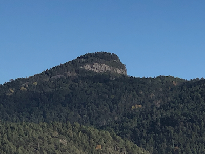
The final summit of the day would be Jonahornet. This route was well marked and even
equipped with some rope in steeper areas. Sort of not needed, but likely placed with
good intentions. Arriving on top after
45 minutes. This trail is quite nice and should be recommended.
Finally, a 35 minutes descent concluded my tripo, about 12 kilometer, close to
1000 meter of ascent and 4:15 hours without any rush.