How to get there:
This mountain is located about 9 kilometer northwest of Molde. Drive west, then north from Molde on Hwy. 662,
continue (more east) on Hwy. 529. Get onto Åndalsbakken road and turn sharply left onto Bygdavegen.
Turn right after 425 meter and find
a very nicely prepared parking on your left.
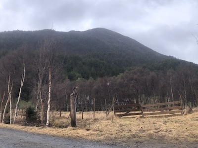
This location is N62.79089, E007.02180,
elevation near 60 meter.
Route:
Continue along the road, turn left when a gate blocks the right hand fork. Continue along the uphill
forest road curving right. This road will
get you to the crest of the main west ridge of the mountain.
A sign shows the trail that ascends the ridge (turning right). Follow the trail uphill to the summit.
Comments:
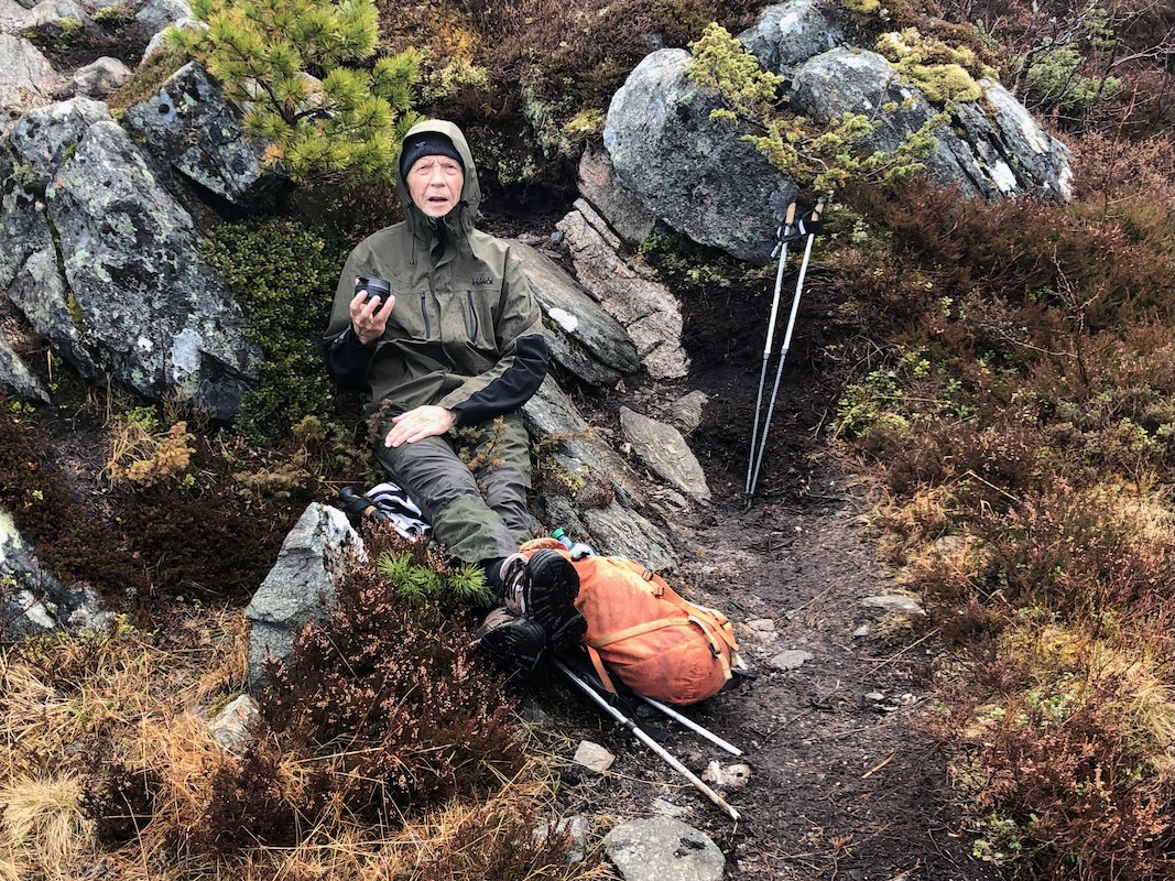
This was my 3rd. and last day hiking with Per nearby Molde. Unlike the previous days, the
forecast was pretty miserable.
We started at 0945 and took a rest near
treeline. The weather
promised wind and rain.
Indeed, quite bad conditions with very strong wind.
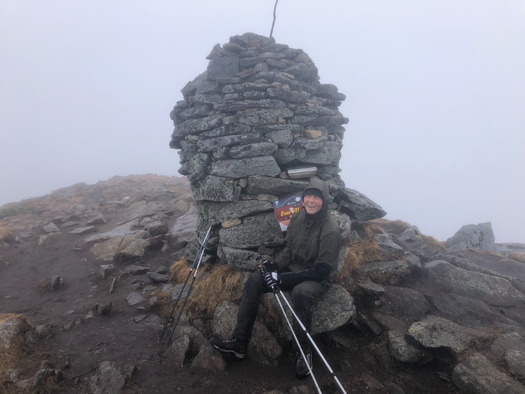
We made the summit at 1115, no point
in spending any time up here.
We descended back down, reaaching the car at 1230.
Thanks to Per for 3 nice days hiking together.