Location: North 60.52678, East 005.39429 (GPS on the summit)
Difficulty: YDS class 2 (my route)
Climbed December 8, 2012.
Information:
How to get there:
Note that another trail head is likely much better.
Drive from Bergen towards Voss and take the exit across the big bridge to Osterøy.
Measure from the toll crossing at the end of the bridge. Drive 10.3 kilometer towards Valestrand
and make a left in the traffic circle. At kilometer 13.3, turn right towards Røskelandsdalen, then
at kilometer 16.0, continue straight. At kilometer 17.0, locate a small side road that serves some buildings
up on your left. Take this road and park without blocking traffic. I parked at location
N60.53503, E005.39776, elevation approximately 150 meter.
Route description:
My route (see below) is most likely not much to recommend.
Thus, I would strongly advice to also consult with the
excellent description by my friend Arnt Flatmo.
Comments:
I had planned to follow the route described by Arnt Flatmo, however, just as I was
about to leave, I noticed that the current map shows a trail that comes up from the
north, starting next to some houses in Røskelandsdalen. This would be more convenient in case
I should also have time to visit Burkelandsfjellet.
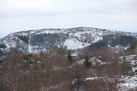
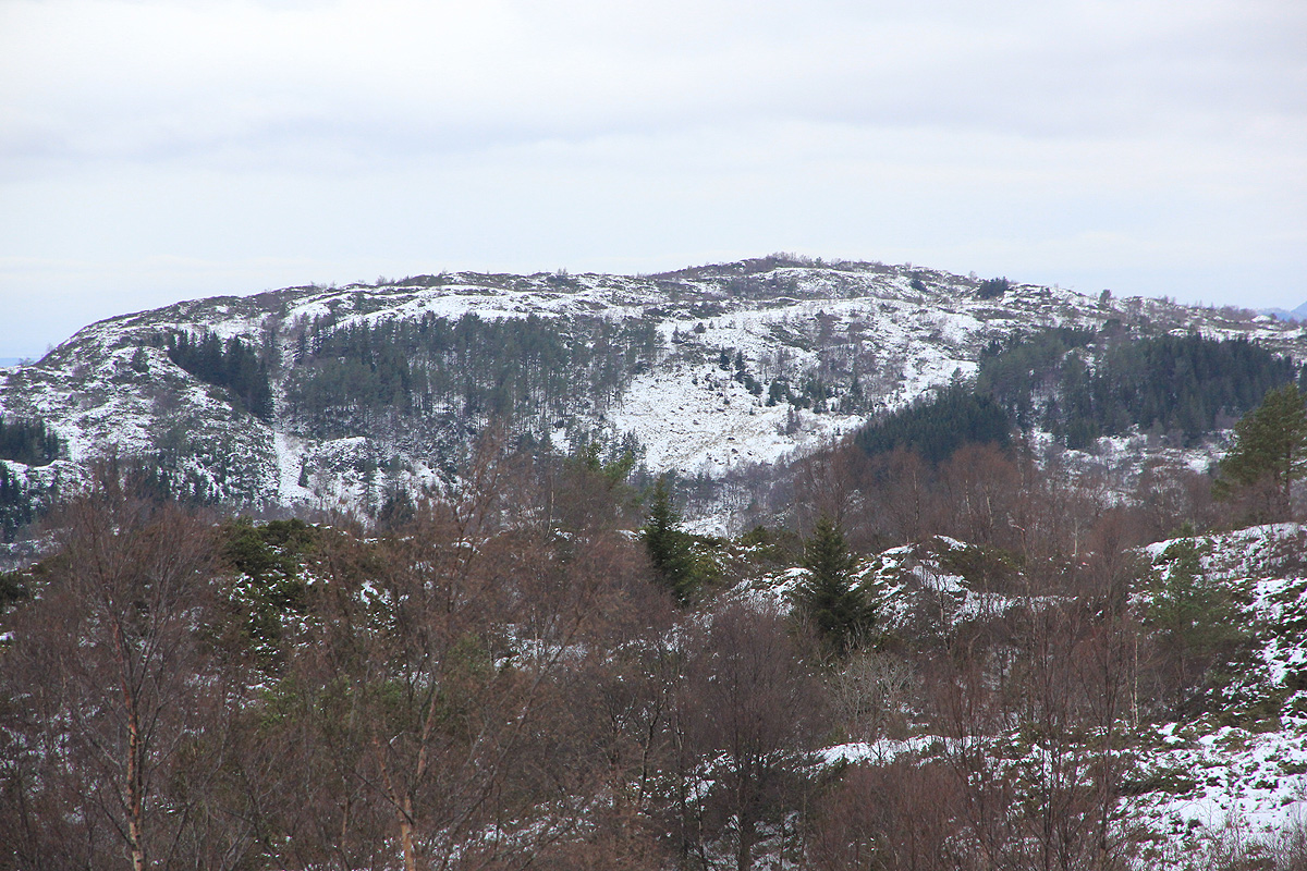
I started uphill 1145, looking for the trail that was marked on the map. No luck. I ended up
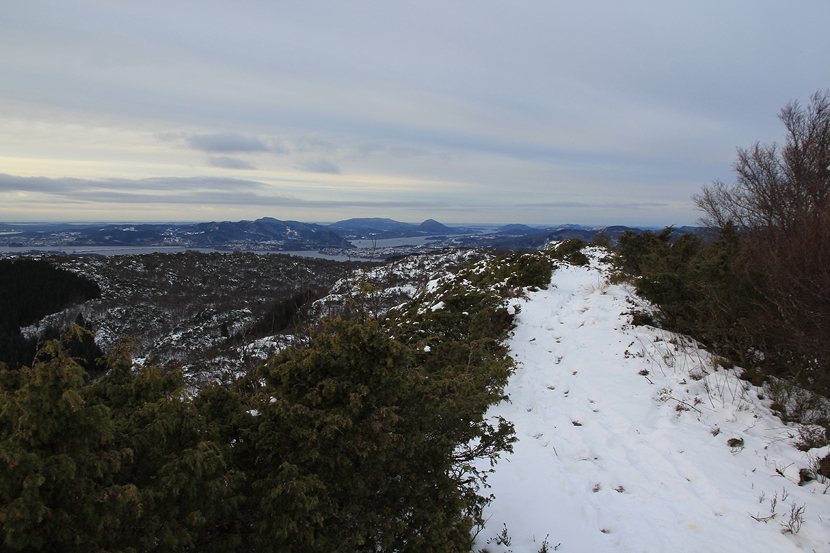
on a very distinct ridge, the summit was obviously on the opposite side.
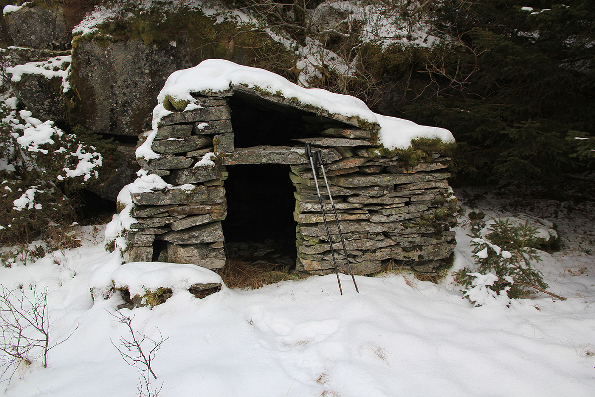
I followed this ridge left, ie. south-east, until I found a trail that descended
to the wide, but shallow valley below. A nice, likely very old hut had been built here.
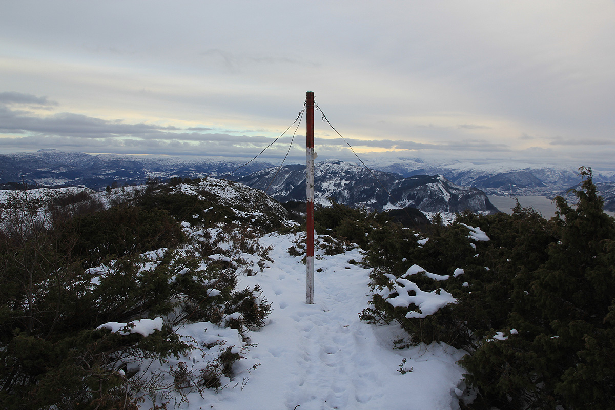
From here, the rest of the hike was pretty easy and
I arrived at the summit at 1245.
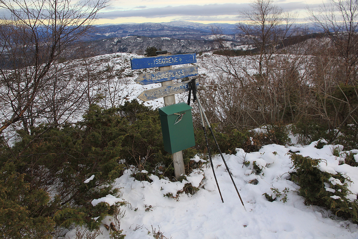
After signing the register, I
returned the same way, but descended from the last ridge somewhat
more directly back down to the fields near the trailhead, arriving back by 1330.
I next headed over to Burkelandsfjellet.