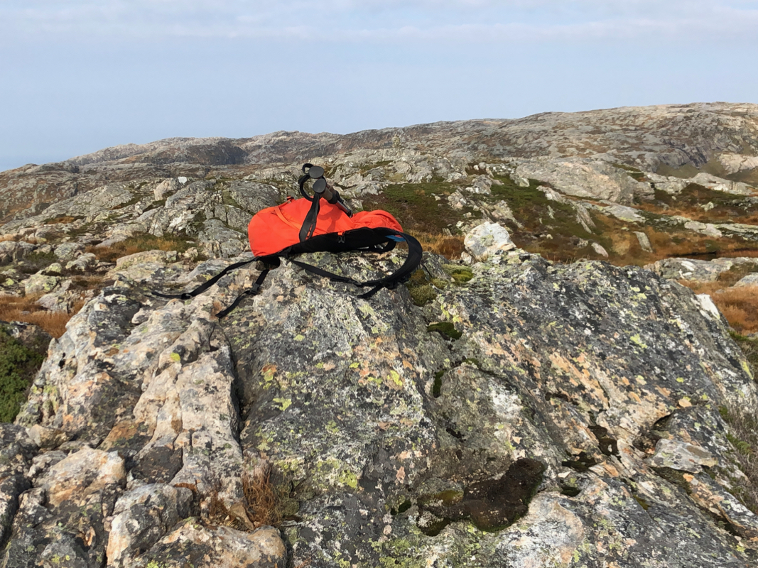
Location: North N60:17.119, E005:22.147 (GPS at the summit).
Alver, Norway
Difficulty, YDS class 2
Climbed on September 28. 2020
Information:
How to get there:
Drive E-39 north from Bergen. Just as the road
descends to lake Husdalsvatnet (shortly after you exit
a tunnel), make a sharp right signed for Molvik. Follow this
road to Molvik, just as you descend a hill, note a small road that
forks left. (Location N60.6330, E5.5557.) Follow this road up the
valley Molvikadalen. You will get to a gate, if locked, then find
parking (off road) before this gate. If it is open, proceed with care
(the road is narrow and a bit rougher) another 2.5 kilometer to
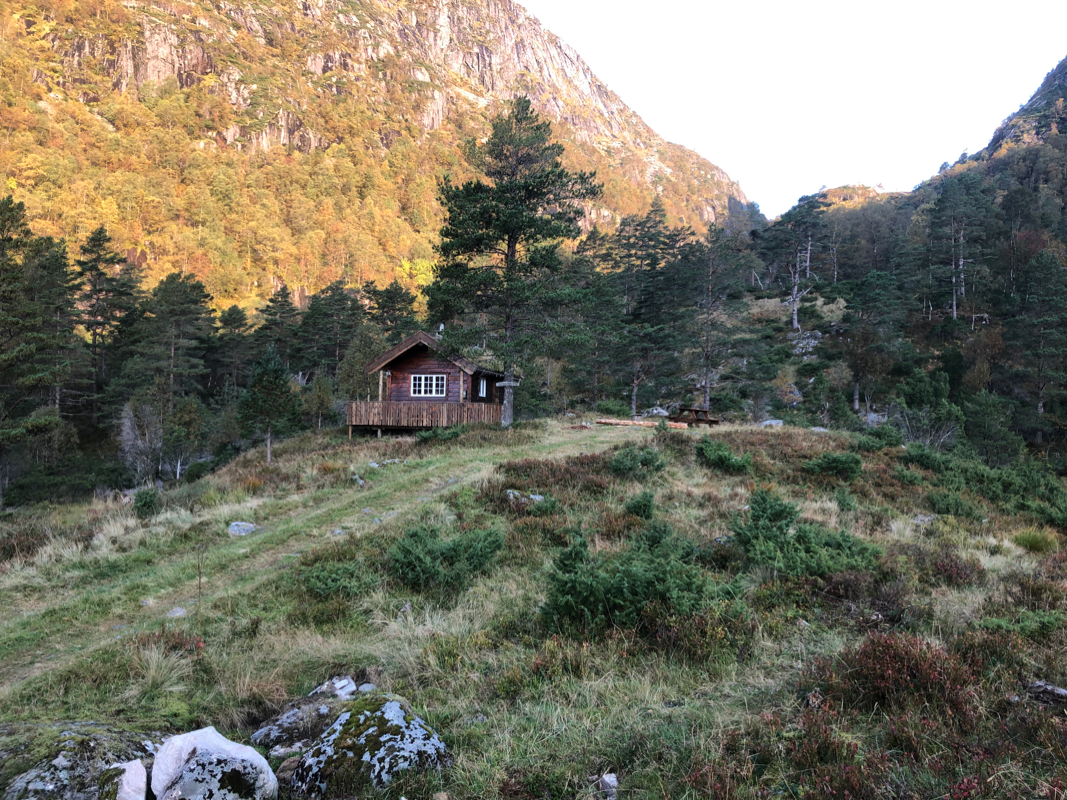
Molviksætra where it ends. There is parking on your
right just before the road ends. This location is
N60.66285, E005.54314, elevation about 270 meter.
Route description:
Follow a nice trail up the valley to the pass named Molvikaskaret, location
N60.67295, E005.53877, elevation 455 meter.
Note that the best route of ascent forks left from this trail shortly before
you reach the col. Proceed uphill, following steepish grass until you reach the main
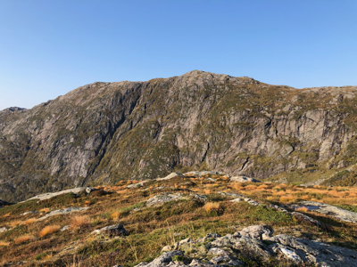
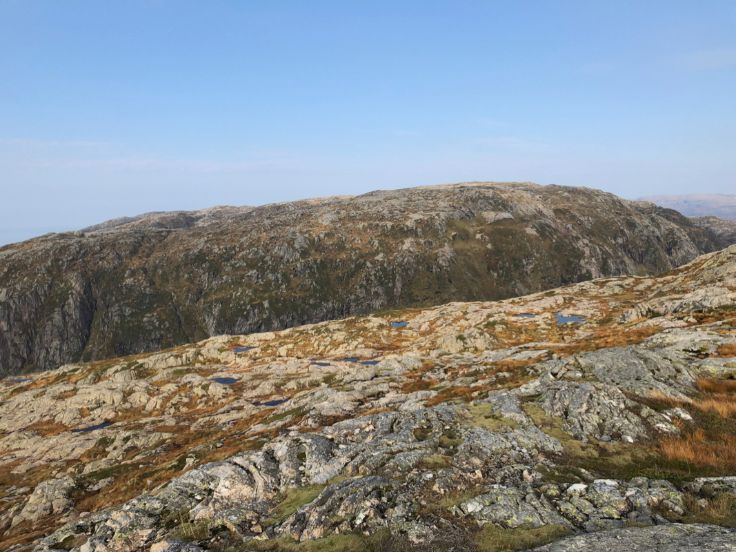
crest and more gentle terrain. Turn more left and ascend the north summit.
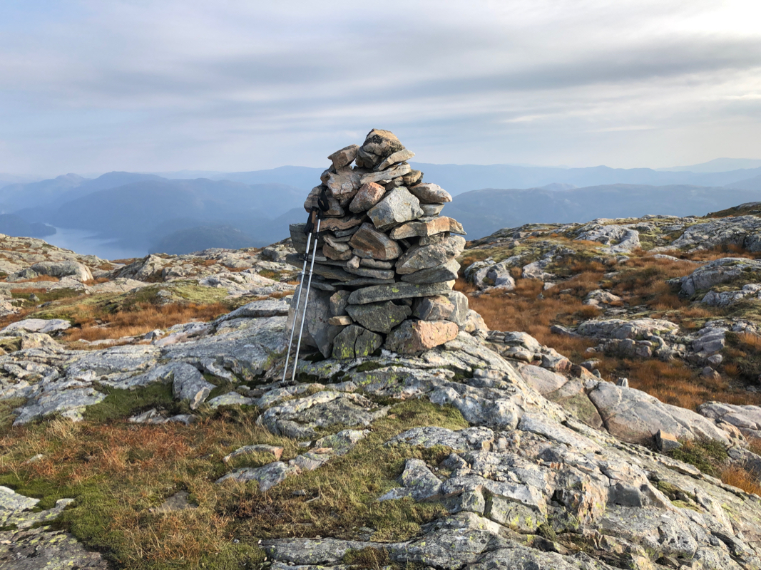
However, this is not the highest point. You will see another, pretty large cairn
further south. Note however, that this point
is still not the highest. the highest point,
about 10 centimeter more, is located a bit more than 100 meter south-south-east.
This location is N60.66231, E005.53156, Lidar (laser measurements) data says 734.2 meter,
while the cairn is located at 734.1 meter.
Comments:
I returned from Hiklettane then started my ascent. I continued
a bit north of the col and climbed steeply left. This worked, but it is certainly better
to start this ascent shortly before you reach the col when coming up the valley from
the trailhead.
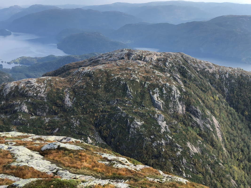
Once on the main crest, the rest was an easy stroll across the north summit to the
cairn on a south summit point. However, this area is full of smaller humps, in fact there
are 5 closed 733 meter contours in this area. I quickly located the highest point challenging
the point with the cairn. This point is 10 centimeter higher. I did a sequence of
careful hand level measurements that agreed with this conclusion. it was now 1200 - noon and
time for a break in the nice weather.
The descent was easy, I turned down a bit earlier at the lower elevation and this
route down into the valley was problem free.
Back at the car at 1310, a very nice trip on a sunny day.