Location: North 60.20892, East 005.85124 (GPS at the summit)
Climbed November 5. 2016
Difficulty: YDS class 2
Information:
How to get there:
From Bergen, first drive to Eikelandsosen
(E-16 to Trengereid, Hwy. 7 Samnanger, then Hwy. 48 towards Mundheim.)
From Eikelandsosen, continue along Hwy. 48 to the intersection called Kilen.
Immediately before this inersection, you have a gas station on your right hand side.
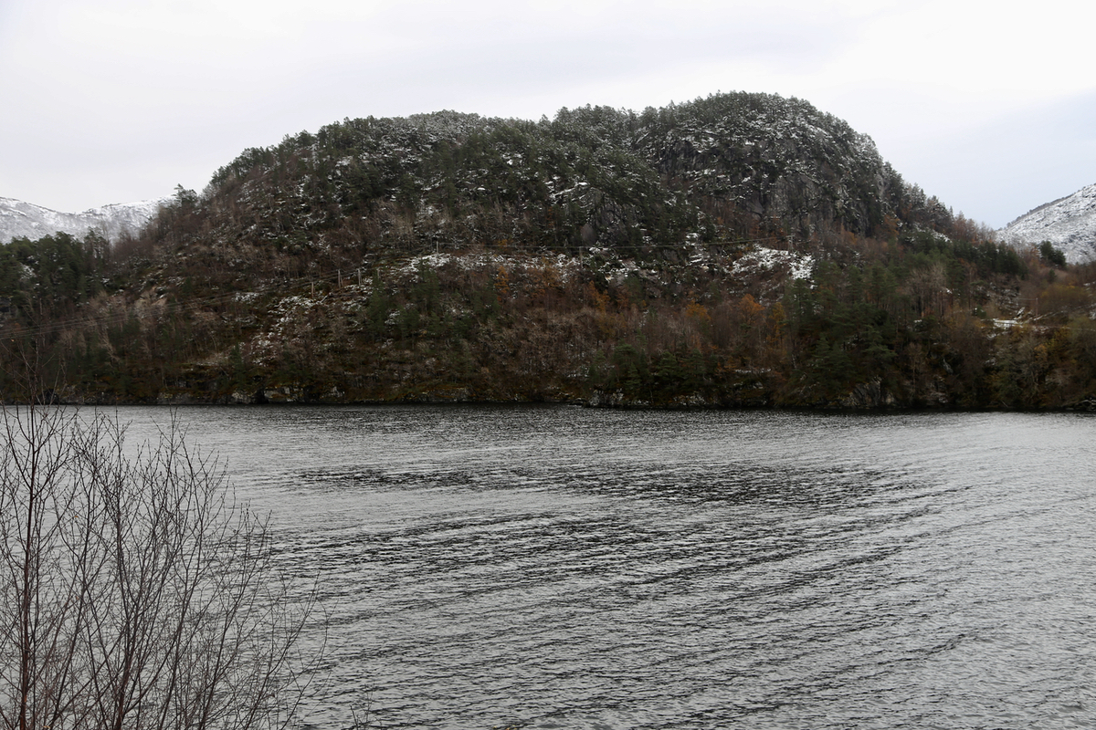
Find parking off the road near the bus stop. This location is N60.20290, E005.85360,
elevation about 30 meter.
Route:
Walk back along the road you just came towards the gas station. Before you get
to the gas station, go right on a small road that serves a single house. This
road turns into a trail. Continue to a small hilltop, a trail forks left here,
if marked well, you may follow this. It is likely better to just continue
ahead, the trail will then descend a bit to reach some wet meadow.
There is supposed to be a trail with markers that will guide
you to the very top. Comments:
I started at 1200. After reaching the meadow, I lost the trail, partly due
to snow on the ground. I picked a reasonable way uphill and recovered the
trail about 25 meter from the summit.
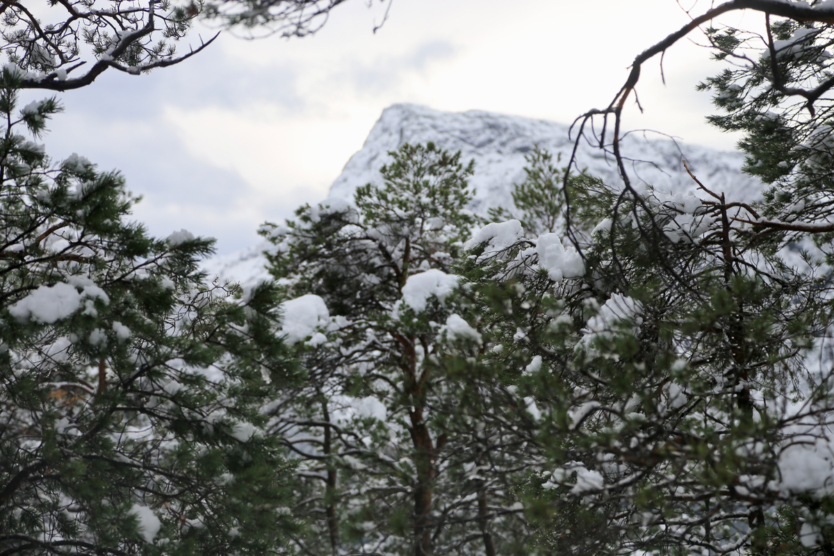
Arriving at 1235, I spent 10 minutes looking around. Descending the same
way as I hiked uphill, this took 30 minutes.
