Location: North 60.12738, East 005.85929 (GPS on the summit)
Climbed November 4. 2017
Difficulty: YDS class 2+
Information:
How to get there:
Locate Mundheim, the location where Hwy. 48 meets the Hardangerfjord.
Drive about 4 kilometer south along the coast to a few houses, this
community is called Gravdal. Locate the local bus stop, the first stop
(serving the opposite direction) is on your left hand side, then shortly
the other stop is ahead on your right hand side. Immediately before this
stop, a small road forks right, uphill, serving a farm. Drive a short stretch,
then park off the road just before the first white house on your left hand side.
Park here, location N60.13393, E005.89531, elevation about 15 meter.
Route:
Continue up the road and between the buildings at the farm. The small road turns
into a forest road and heads uphill, quickly bending right.
On top of the first hill, the forest road forks, keep right here. Next the road
turns left and crosses a creek, then another fork where you keep right
and cross the creek again. Immediately after crossing the creek (2nd. time), then
look uphill (left) and spot what looks like a small trail. The beginning is steep and
runs up to a tree. Higher up, this trail becomes quite nice and clear as it climbs this
little valley all the way up to a local pass. (If you fail to find this trail, then another
trail that climbs the broad ridge can be located slightly further along the forest road. This
is the trail described by Arnt Flatmo.)
From the pass, the trail climbs left, up a small step, then onwards to a hut located at the
lake. The best route stays left on the ridge, but if you arrive at the hut (location
N60.14209, E005.88367), then just cross the small creek and you will pick up the trail.
This trail now traverses the small hill that runs parallel to the lake, with cliffs going
directly into the lake. Near the end of the lake, the trail descends to the flat area beyond
the lake. From here, ascend the hillside that connects up to the broad ridge above.
This ridge should then be followed all the way to the summit. You need to overcome one steeper
section. I explored two different locations, one ascending, the other on my descent. In both
locations I ran into a short stretch of (YDS) class 3 terrain. The local farmer near where I
parked, told me that one could walk all the way, but then needed to know precisely where to
go.
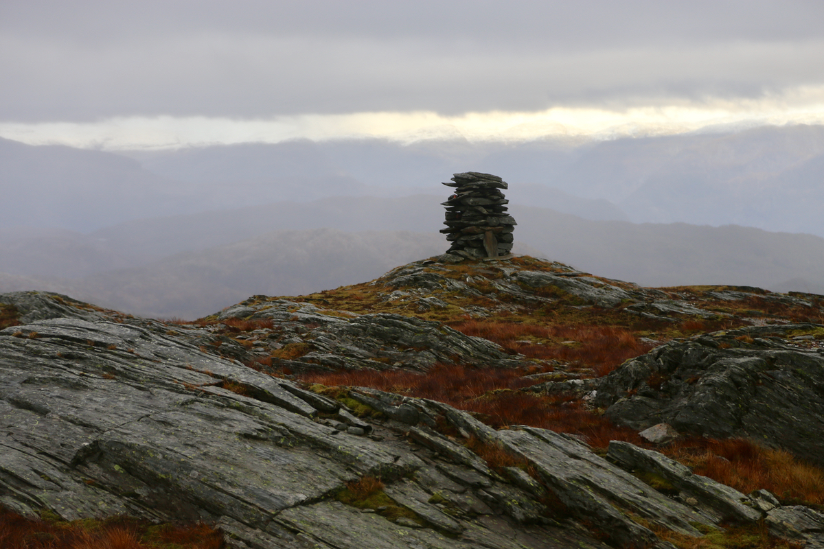
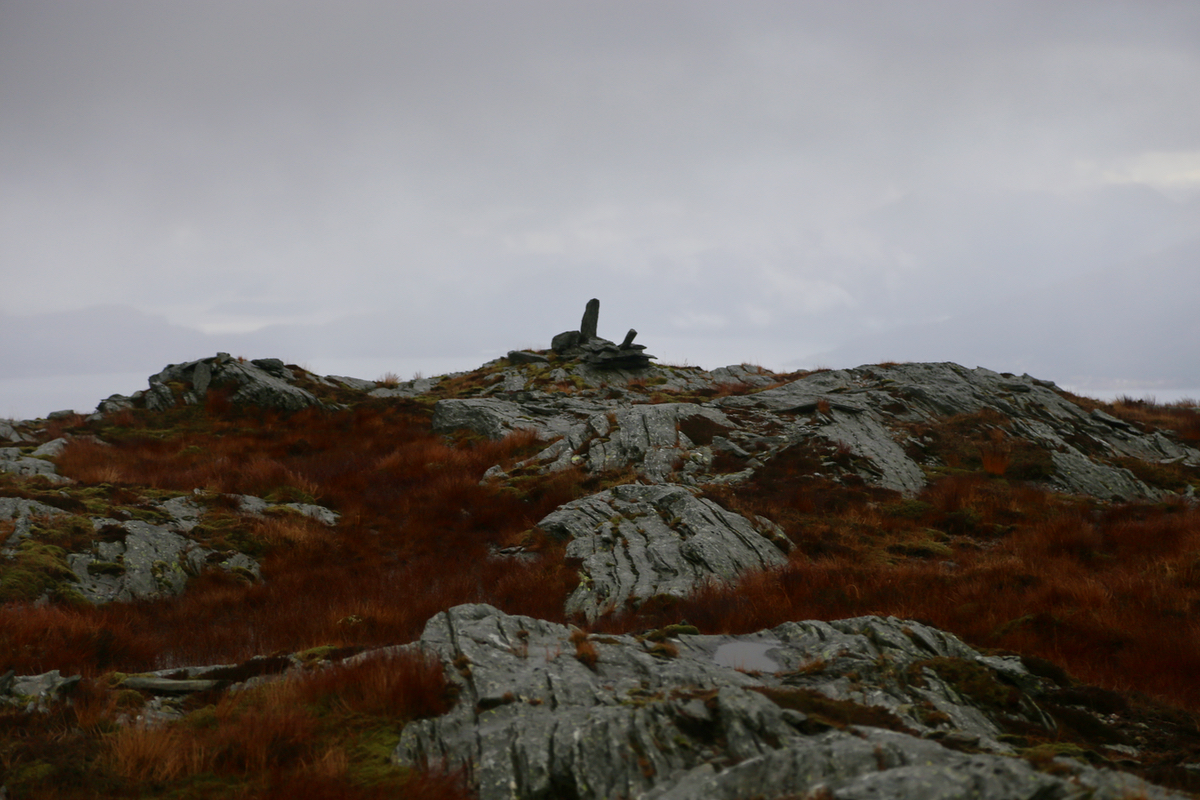
The summit area has one larger and two smaller
cairns. The
smaller cairn to the west is
likely the highest point. There are good
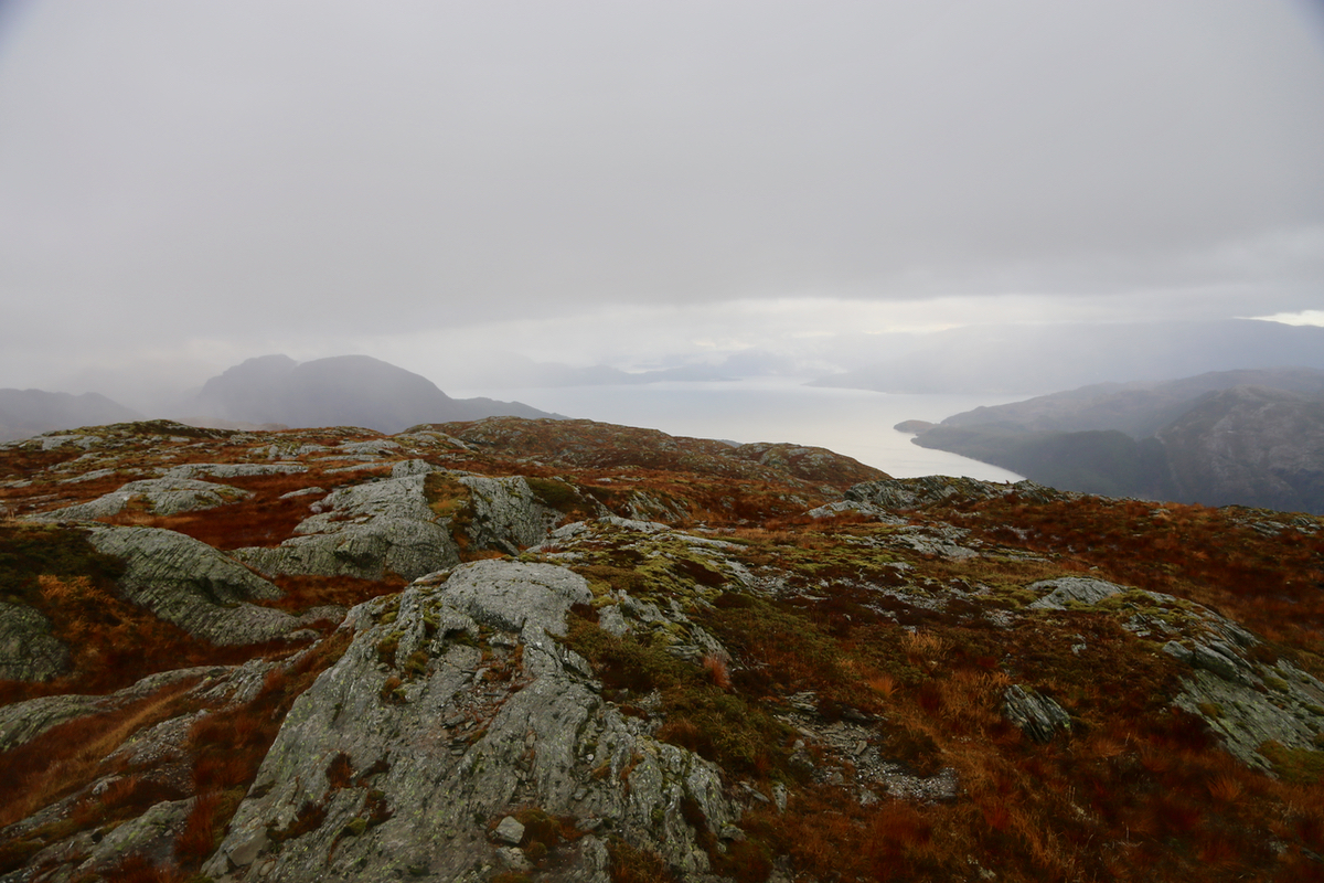
views of the Hardanger fjord. Comments:
Having climbed 2 smaller peaks further south already this morning, I was still
motivated to visit this slightly obscure peak that Arnt Flatmo visited already
13 years ago. I parked my car and was ready to hike by 1150.
When I reached the creek, I spotted a trail heading uphill just before it, this looked
like a short-cut that should be investigated. As it turned out, I would recommend to
just stay with the forest road. Hitting the forest road again further uphill, I took it
a short stretch, then continued uphill along some rather weak traces.
Reaching the top, the trail continued nicely up to my left and quickly led me to a hut near the
lake around 1240. I continued to the summit, but my route was far from optimal. I ascended more
left instead of gaining the ridge. Running into cliffs, I made a long traverse back to the ridge,
quite possibly a better choice would have been to just continue traversing left, then ascending
possibly even bit beyond the highest point.
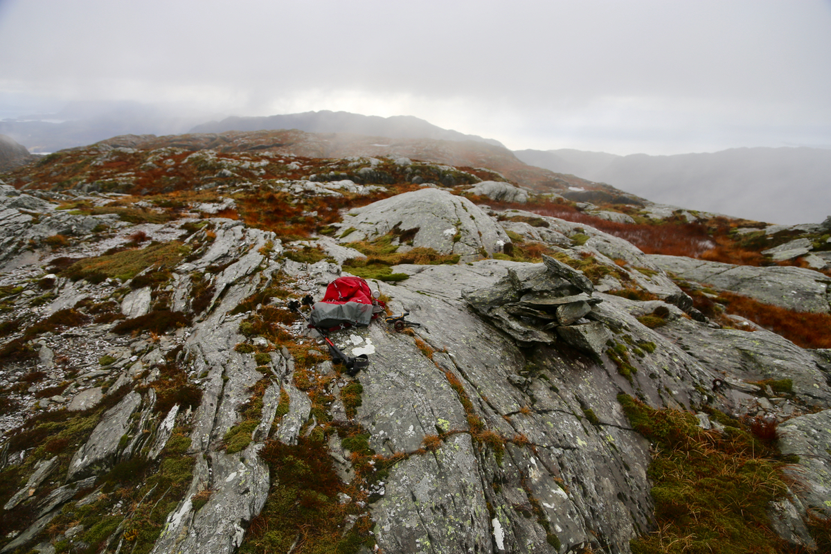
I finally arrived on top at 1405. The weather was better than the forecast (rain), but quite
cloudy. Still. the view of the fjord was nice.
Leaving at 1420, I picked a better route back down to the end of the lake, then back down
the trail arriving at my car quite close to 1600.
