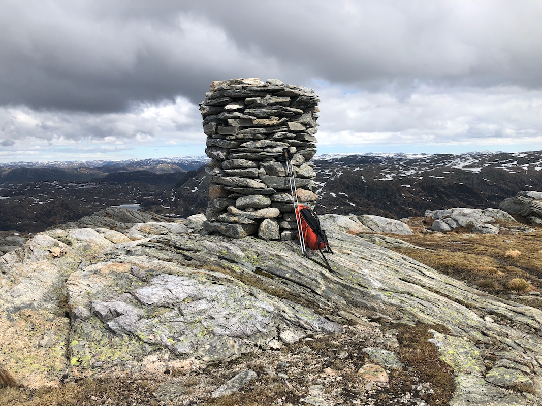
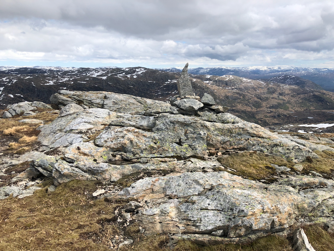
Location: North 60.78429, East 005.48519 (GPS on the summit)
Difficulty: YDS class 2
Climbed May 20. 2022.
Information:
How to get there:
Drive E-39 north from Bergen. Immediately before the long Eikefet tunnel, turn left
towards Masfjordnes on Hwy. 570. Drive to Masfjordnes (a bit less than 30 kilometer), then
continue along the fjord (do not take the ferry!) to the small community called Totland.
Just after the road turns more north (in Andvika), locate a signed road that forks (slightly) right.
After 1.1 kilometer, this road becomes a toll road.
Stop and pay toll. Next, continue to lake
Storevatnet. Keep right here, the road now turns into the narrow valley Meisdalen.
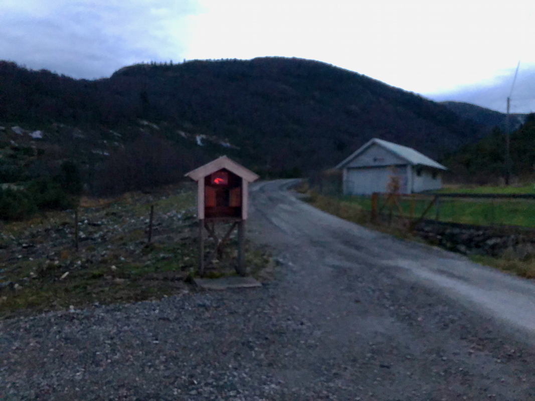
Continue until the road ends with a nice parking area. This is location
N60.81617, E005.42098, elevation about 250 meter.
Route:
This route starts from Austrefjellet north of Horga.
See also the return route here.
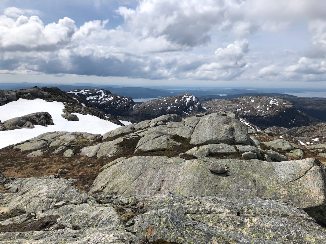
From Austrefjellet, descend south. Go west (right) of lake Austrevatnet. Stay east (left)
of the local 708m hill.
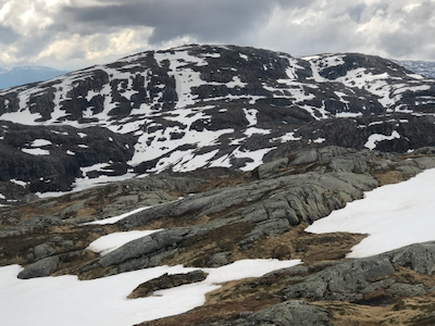
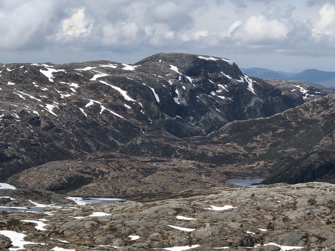
You will see the steep north side of Horga directly ahead.
As you arrive just west of lake 663m, locate a narrow ledge that enables you
to access the north-east ridge of Horga. This ledge is protected by some
permanent iron rail, quite surprising.
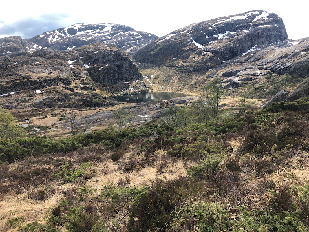
A more direct route, that I followed on my return hike, would be to follow
the marked trail towards Kalvedalshytta, until it descends to the mountain
farm Duesundsetret. Leave the trail and head west up to lake 630m, From here,
an easy final ascent to Horga.
There is a second summit point
very close that may be slightly higher.
Comments:
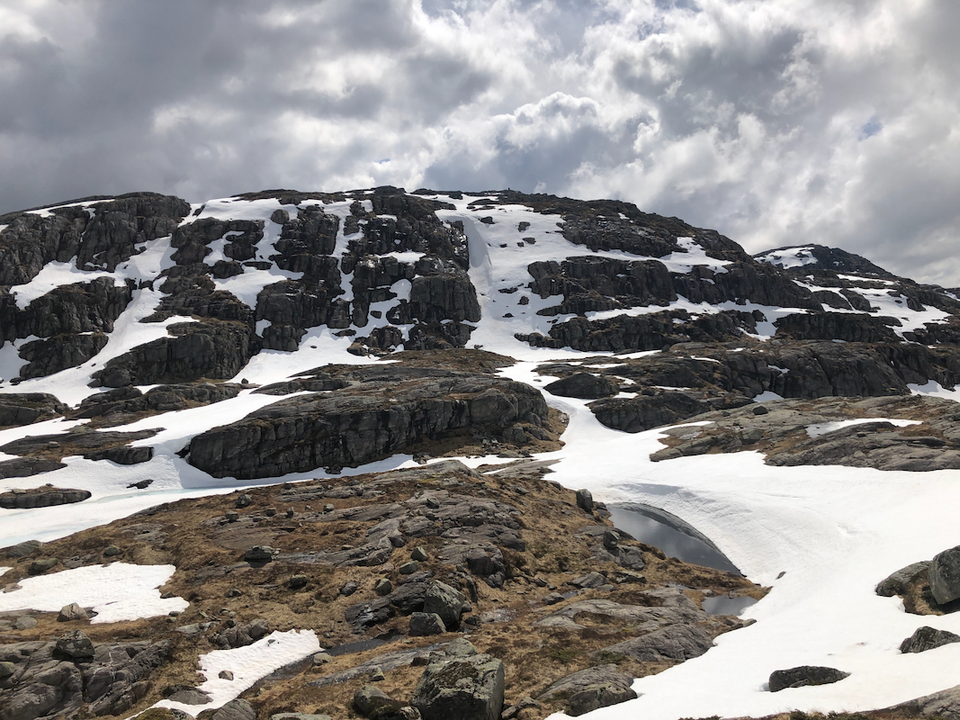
I traversed south from Austrefjellet to Horga in about 1.5 hours. This includes
significant time (wasted) as I first tried a more direct ascent up some
steepish snow only to run into a broken section that I decided not
to attempt. Slow and safe climbing back down face in.
I next discovered the small ledge that gave access to the easier north-east
ridge area. Quite a surprise to find iron protection here! At least it
indicated that a passage further on would exist. I turned right and
did an easier climb up a snow-filled gully.
On my return hike, I first descended to lake 630m, then west towards
Duesundsetret. I lost the trail almost immediately after starting north.
One should note that the route runs in the lowest passage named Steinskaret.
It took me slightly more than 2.5 hours to return to my car at the trailhead.
Back by 1700, it had been a nice day in the mountains. Most snow had now
melted in this area.