Location: North 60.32600, East 005.67206 (GPS on the summit)
Climbed March 11. 2017
Difficulty: YDS class 2
Information:
How to get there:
From Bergen, drive E-16 towards Voss, fork right onto Hwy. 7 in
the traffic circle at Trengereid. Continue past the innermost part of the Samanger fjord.
A long tunnel will get you to a new traffic circle where Hwy. 48 forks right towards
Eikelandsosen. Take this road. Drive through the long tunnel, then uphill. When you see
the municipality border, a big blue sign that says Fusa. Cross the bridge, then park immediately
at the right hand side. This location is at N60.33004, E005.68820, elevation roughly 195 meter.
Route:
Start out along the forest road that begins where you parked. Follow this downhill towards
lake Botnavatnet at elevation 130 meter. Cross the small river, then hike around the lake
around its northern side (counter-clockwise). Arnt Flatmo
describes a path from here to the summit. I was completely unable to find it. There are
various bits and pieces of deer paths all over this hill and some are useful in order to
locate spots where one may ascend / descend between steep cliffs that are everywhere.
Thus, just look uphill and locate places where you may be able to get up. There are
several sections with cliffs. You should end up on the main ridge north of the summit.
The last bit, along the main crest is easy hiking. To complicate this hike even more,
there are fallen trees of all sizes everywhere.
On various maps, you will see that there are two local tops, each with a 300 meter contour.
The two areas are more than 200 meter apart. Given the considerable effort to get up on
this hill, one should absolutely visit both locations. My GPS read 305 meter in both places.
The map indicates that the first summit point may indeed be the highest.
Comments:
I left my car at 1250 and took the route described by Arnt. That is, I stayed
on the north side of the small river. This was OK, however the route along the
road is likely more convenient as long as one is able to cross the small river without
any problems.
I tried to look for a possible path uphill roughly in the location that Arnt
indicated with his map, however fallen trees and steepish terrain with cliffs were
everywhere. Near the top of the first section, I traversed right under a vertical
cliff, but got nowhere. Backtracking, I found a way up further left. I next followed
a path (made by deers?) that went north. After a bit it looked like it would
climb the next steep section, but quickly vanished into fallen trees and more cliffs.
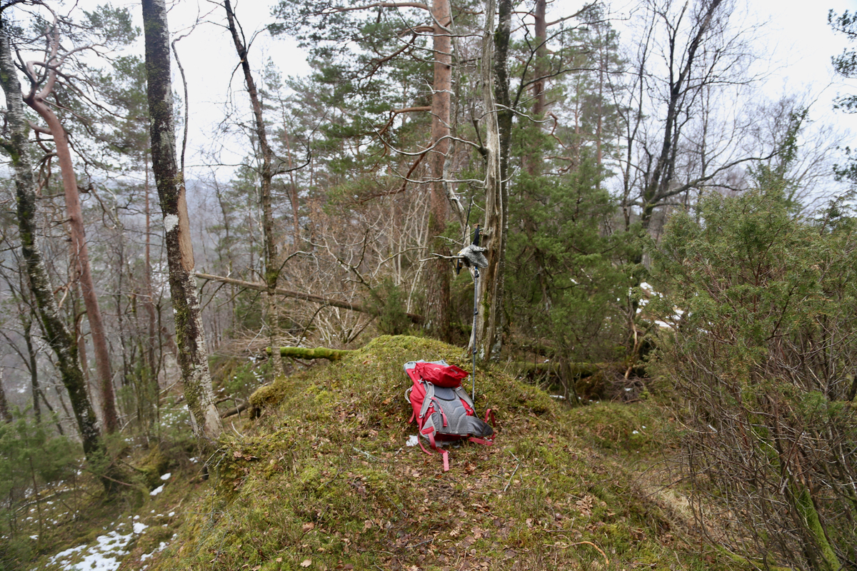
I made my way up and after several more trouble sections, arrived at the first
summit point at 1405. I noticed on my map that there was a second 300 meter contour
about 200 meter further south. Since the summit was 301 meter, I reasoned that this
competing high point would indeed be close in elevation.
Therefore, I hiked as far as to location N60.32352, E005.67130, passing over a
couple of points having similar elevation. My GPS read 305 meter here, precisely
the same as on the first summit further north.
I left the summit area at 1430, made my way more directly back to the lake, but ended
up at the river that drains it. In several places, tracks from deer guided my choice
down the steep terrain. I hiked around the lake, crossed the small river and
took the forest road back up to the highway. Back at my car at 1530, so one hour
for the return hike.
