Location: North 63.04893, East 008.50165 (GPS on the summit)
Difficulty: YDS class 2
Climbed June 21, 2013.
Information:
How to get there:
Locate Hwy. 65 connecting Surnadal to E-39, then locate Bøfjorden, a small
fjord that is just west of this Hwy.
Take Hwy. 65 and locate the signed side road to Bøfjorden, the sign says
Bøfjorden 4 km.
Locate a small (farm) road that forks off to the right immediately north of
the Bøfjorden 4 km intersection. If coming from the north, this is after the
paved road going left signed Settemsdal. You will see tha Bøfjorden 4 km fork
before you get to this side road. Measure from here.
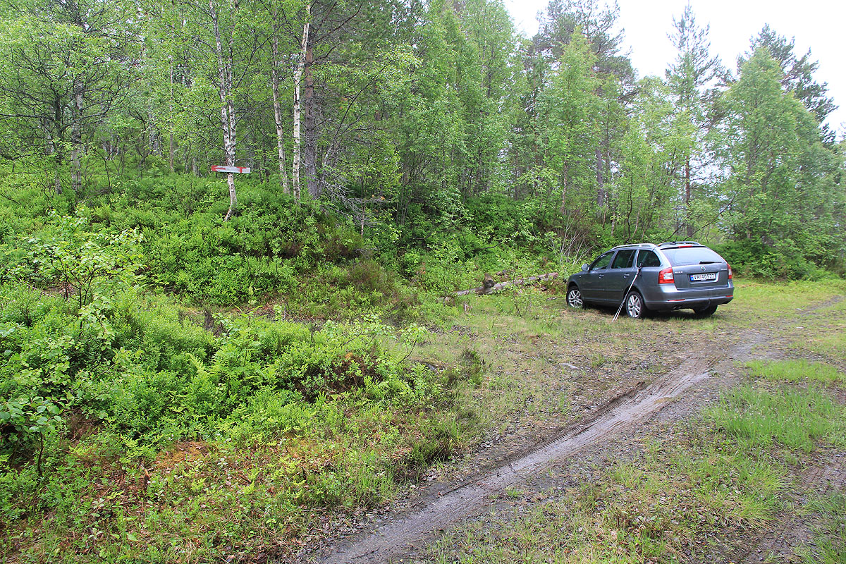
Follow this (dirt) farm road across a field, then uphill. At kilometer 1,7, turn right
and drive 50 meter, then park.
This is the trailhead, location N63.05082, E008.45939,
elevation about 190 meter.
Route description:
From the parking, this trail is well defined and marked with red "T" as well
as red paint on trees and rocks. There are numerous small signs with local
names. There is a signed trail-fork, the trail to Hjelmen goes left here.
Almost the entire hike is (YDS) class 1, however, a couple of slightly steeper
sections near the top has earned a class 2 designation.
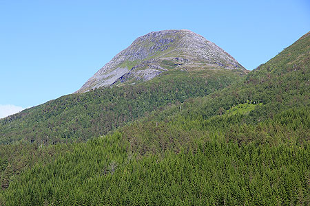
The summit has a big cairn. Comments:
I came directly off my climb of Saksa, which is located nearby,
I started at 1455, it had started to rain, but nothing serious. I was at the summit at
1610, and left already at 1615. Back down at 1710. This is a nice trail to a fine summit.