Location: North 60.48131, East 005.91655 (GPS at the summit)
Climbed on April 22, 2017.
Information:
How to get there:
This mountain is most easily accessed from the trailhead at lake Kvitingvatnet.
Drive E-16 to Trengereid. Go right in the traffic circle, continuing on Hwy. 7.
Drive through the next traffic circle (just after exiting a long tunnel). Continue
a short stretch, then turn left (just after you cross a small bridge) onto a small
road signed for Kvitingen, 14 kilometer.
Drive this road to its end, find parking on your right.
This location
is N60.46320, E005.89441, elevation about 380 meter.
Route description:
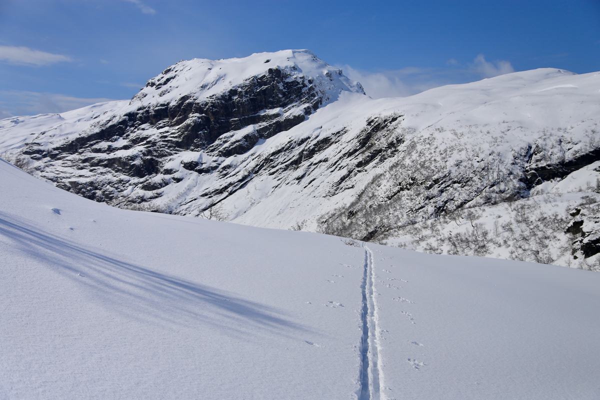
Start skiing along the old road that runs into Klungerdalen. This route
crosses the creek just before the lake Klungerdalsvatnet. Just after this
lake the trail/route climbs more steeply and heads north-east. Continue
along this valley until it bends right and now runs towards the east.
Locate the north ridge of the mountain, this is the second ridge as you
ski east. Once on the correct ridge, ski south as you
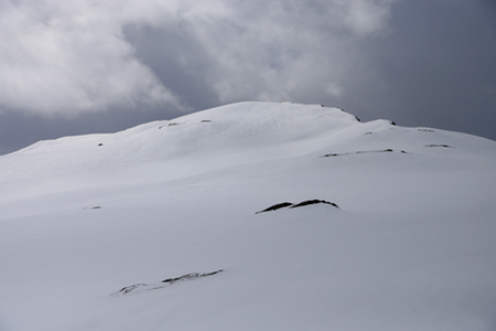
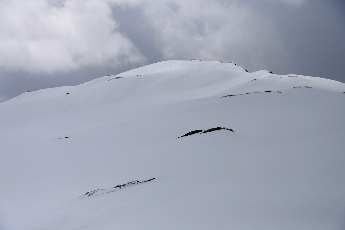
gently climb this ridge until it ends
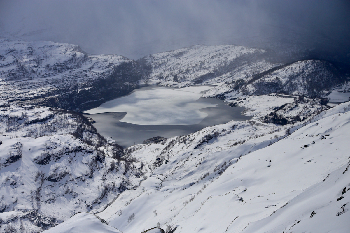
abruptly with the summit
as well as a nice view back
down to lake Kvitingsvatnet.
Comments:
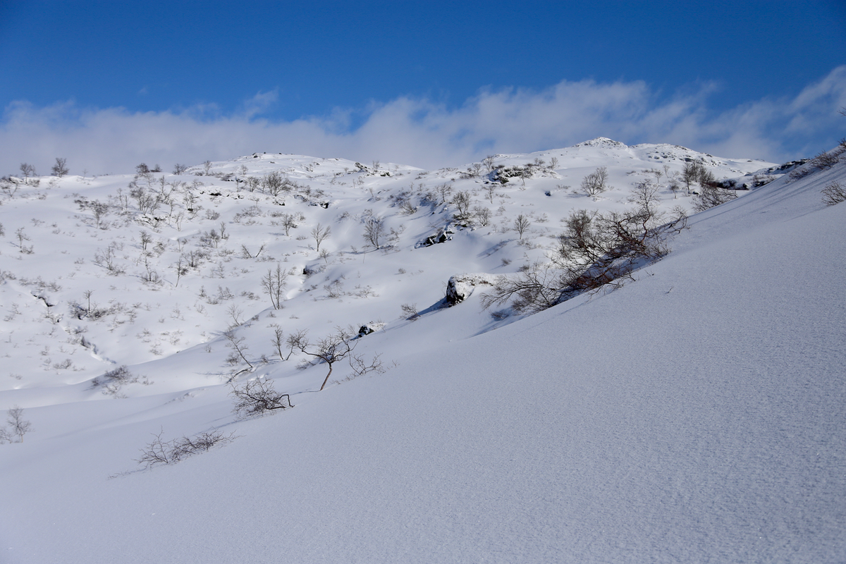
I left my car at the trailhead around 1100. The weather was pretty nice in the beginning
as I skied out of the Klungerdalen and
continued further into the higher mountain plateau.
I arrived at the summit around 1355 after a leisurely ski with absolutely
no hurry.
After a short break, I continued my trip with the intention to
climb Bjørnaknausen.