Location: North 60.91112, East 005.27601 (GPS on summit)
Masfjorden, Norway
Difficulty, YDS class 1
Climbed on May 15. 2021
Information:
How to get there:
From Bergen, drive to Knarvik (E-39), then turn left in the first traffic circle,
Hwy. 57, signed for Mongstad and Leirvåg. In Leirvåg, take the ferry,
it leaves 15 minutes past the hour. The return ferry leaves 15 minutes before each hour.
From Sløvåg, drive west on Hwy. 57/570 to Hosteland. Turn north there on
Hwy. 5436. Pass Ostavatnet and continue to Kvamsdalsvatnet.
Pay attention, just north of Kvamsdalsvatnet, take the small road forking left to
Lundebotnen. Park on the left hand side at the first possible parking area. This location
is N60.89123, E005.28518, elevation near 70 meter.
Route description:
Walk a couple of meter along the road, you will then see a trail heading uphill
through a gate. This trail is marked with red/white painted sticks. The trail
leads all the way to the first (false) summit.
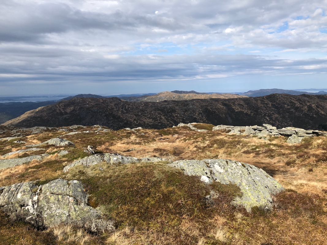
The highest point is about 550
meter north-east of this point. The terrain across to the proper high point
is easy.
Comments:
I left Bergen early and timed my driving to make the 0715 ferry. After
some minor preparations, I was ready to hike by 0810. This hike is
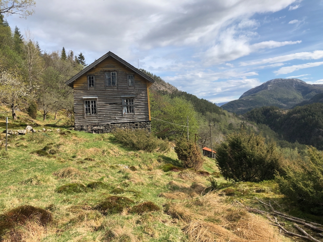
quite nice, early on you pass an old house
that shows the signs of
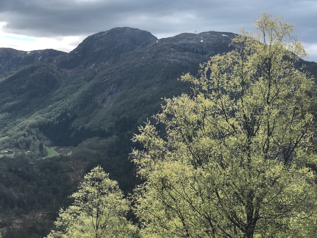
being uninhabinated. Higher up, you walk by several small ponds before
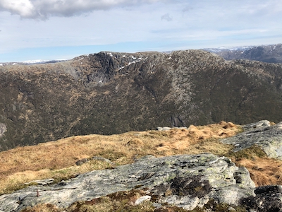
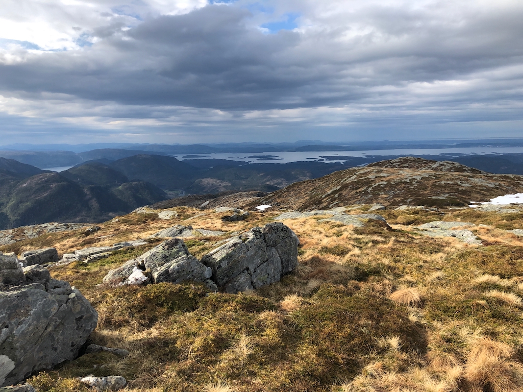
ascending to the southernmost and most distinct looking summit. The view
south from here is excellent. However, the highest point is located
a short hike north-east. I was there after 1:15 hours. Good views on a nice
day, some clouds, but also sunshine. I returned to my car in 1 hour after
a 10 minute break.