How to get there:
From Leknes, drive E-10 a few kilometer (opposite Svolvær), after the
bridge to Offersøya (not really an island). Turn right after the bridge
and drive 2.5 kilometer, fork left and continue until you see the tunnel, there is
parking on the left immediately before the tunnel. This location is N68.19934, E013.53187,
elevation a few meter (there is a nice beach right there).
Route:
Cross the road and walk gently uphill on the small, paved road. A big trail
starts out left as you reach the top of the road. The trail partially follows the
old road across this saddle to Utakleiv. You pass a small pond, the a sign pointing
right saying Himmeltindan. The trail heads up the Durmålsdalen valley, then bends left
and gains a small ridge near 700 meter elevation. There is a trail fork here, one can turn
sharply right and follow a nice trail across point 830m, or one may continue straight, then
climb to merge with the former trail a short distance below the 931 meter summit point.
A somewhat smaller (and slightly rougher) trail continues along the ridge, then mostly
below on your left side of the crest before a final ascent to reach the highest summit.
Unfortunately, this summit has been made into a flat plateau with a Sindre radar in the
middle. (It does not look like a true Sindre, seems to be permanently up.) The mountain is likely
8-10 meter lower than before this radar arrived. New Lidar measurement yields an elevation
of 956 meter (rounded to nearest). One should minimize the time on this plateau since
the radar gives off microwave radiation.
Comments:
The forecast was more rain and it rained as I drove from Leknes to the trailhead.
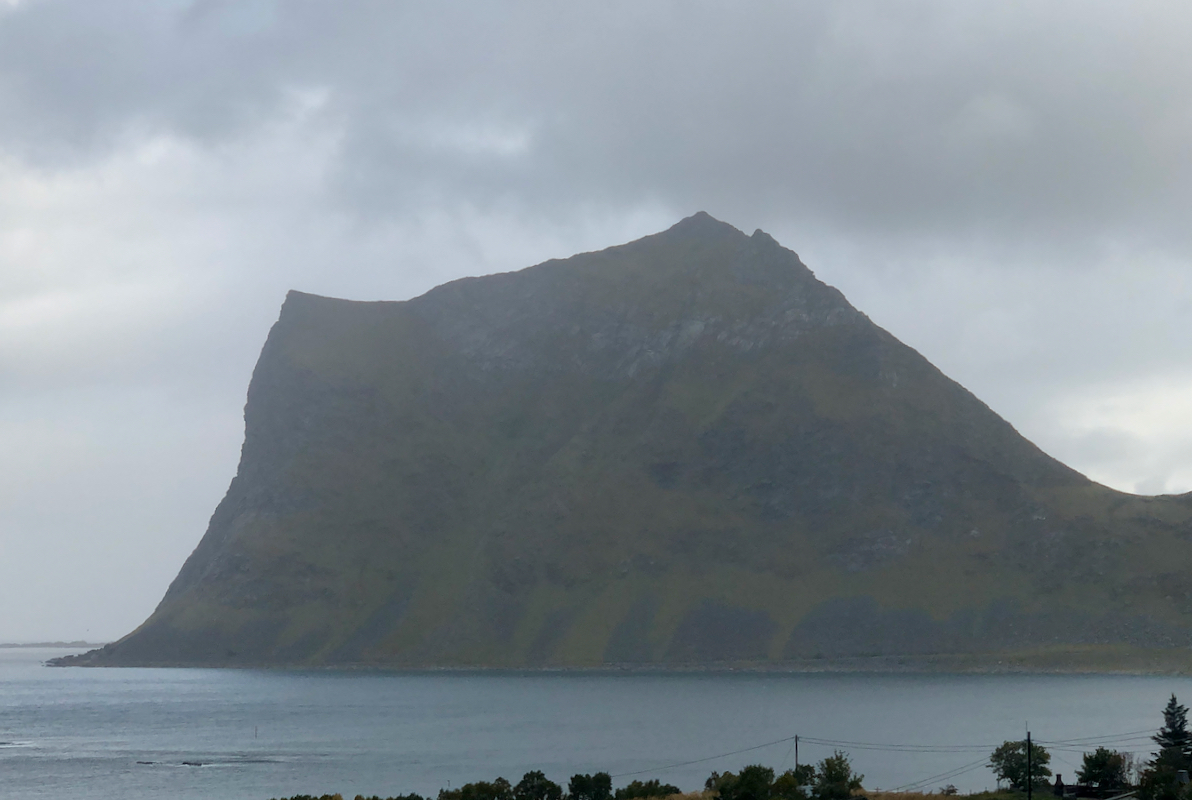
Clouds covered the high peaks,
but Nonshammaren looked impressive as I drove the
last kilometer to the trailhead.
I deliberately took extra time to change into hiking gear, hoping that the
rain would subside. It actually did, and the weather was acceptable as I left
the car shortly after 0900.
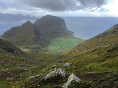
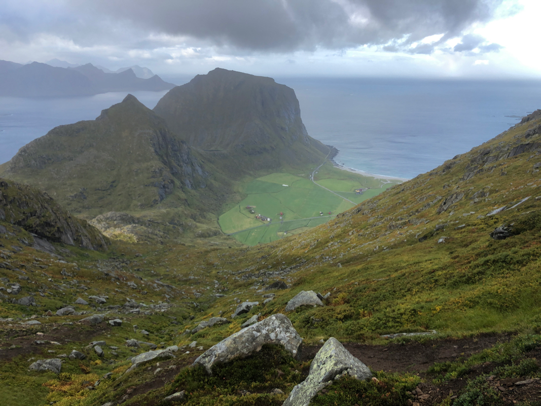
Before hitting the clouds above, I took a picture of the farm
Utakleiv, the Lofoten scenery is really second to none.
I entered the clouds and visibility
became more limited. I made the ridge exiting Durmålsdalen and decided
to continue straight ahead.
I found the tourist cairn at 931 meter at 1100. After 5 minutes, I continued along
the ridge to find the highest summit with a radar station.
I arrived at 1120, took a GPS reading and walked across. The radar was rotating and
likely a source of microwave radiation. Returning to just below
the tourist summit, I immediately started my descent.
The weather improved somewhat and the sun was hitting the lower slopes. Back at the
car, I made a short walk on the beach before getting to the car. The time was 1310 and
just as I opened the car door the rain started with serious intensity.
Overall, a very fortunate timing.