Location: North 60.66922, East 005.55055 (GPS at the summit).
Alver, Norway
Difficulty, YDS class 2
Climbed on September 28. 2020
Information:
How to get there:
Drive E-39 north from Bergen. Just as the road
descends to lake Husdalsvatnet (shortly after you exit
a tunnel), make a sharp right signed for Molvik. Follow this
road to Molvik, just as you descend a hill, note a small road that
forks left. (Location N60.6330, E5.5557.) Follow this road up the
valley Molvikadalen. You will get to a gate, if locked, then find
parking (off road) before this gate. If it is open, proceed with care
(the road is narrow and a bit rougher) another 2.5 kilometer to
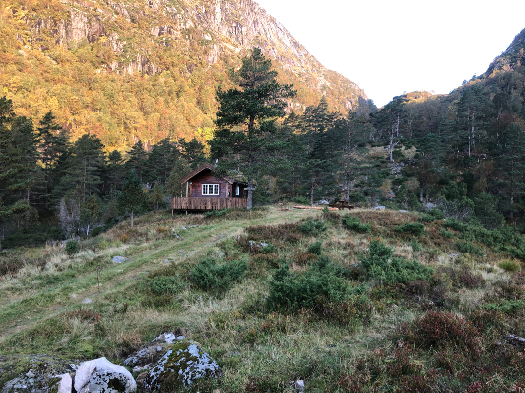
Molviksætra where it ends. There is parking on your
right just before the road ends. This location is
N60.66285, E005.54314, elevation about 270 meter.
Route description:
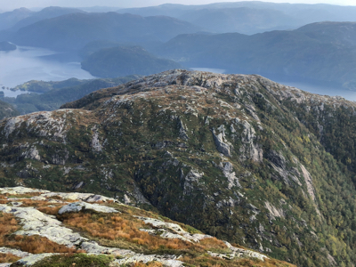
Follow a nice trail up the valley to the pass named Molvikaskaret, location
N60.67295, E005.53877, elevation 455 meter.
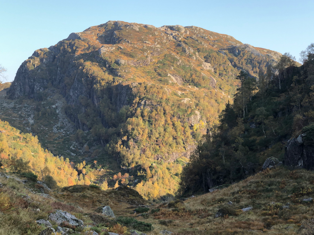
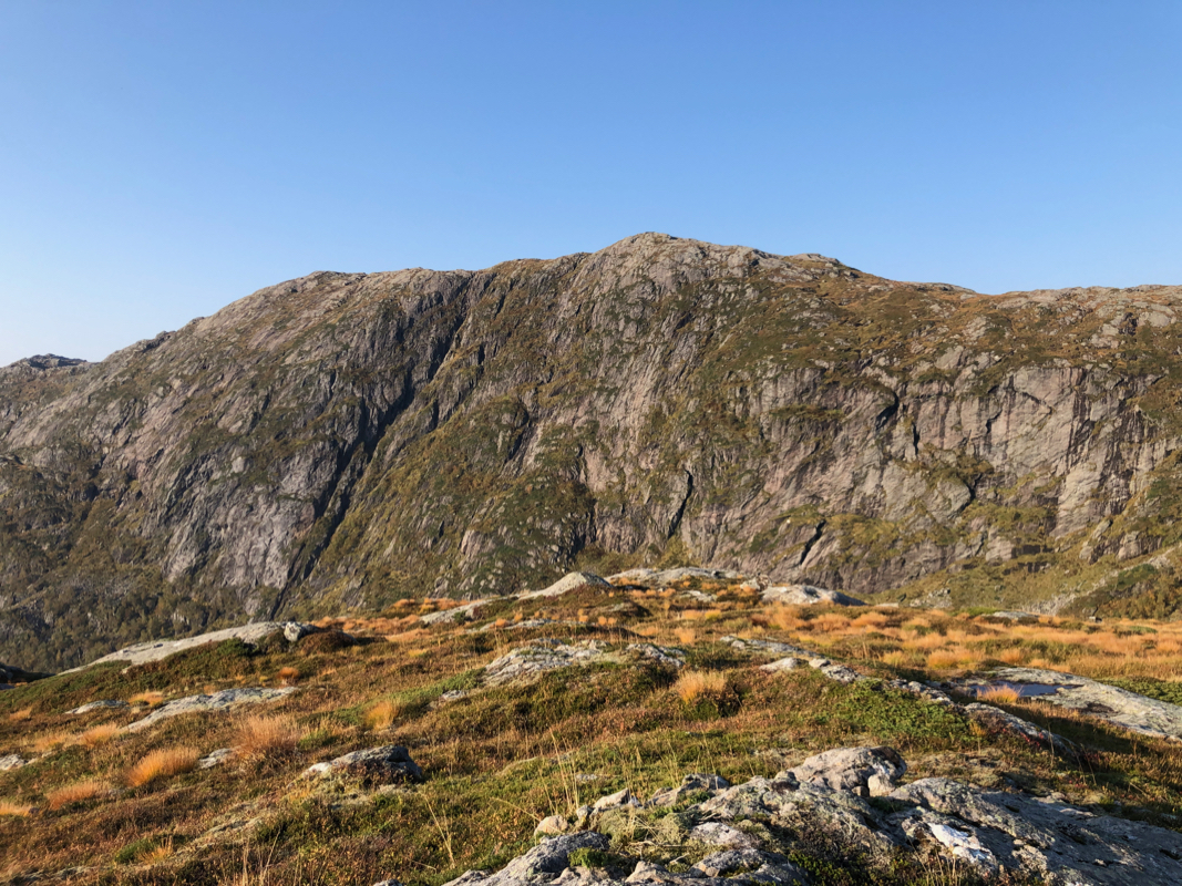
Continue slightly beyond the col, then proceed uphill to you right. Continue uphill following
grass, there are no difficulties. You will arrive at
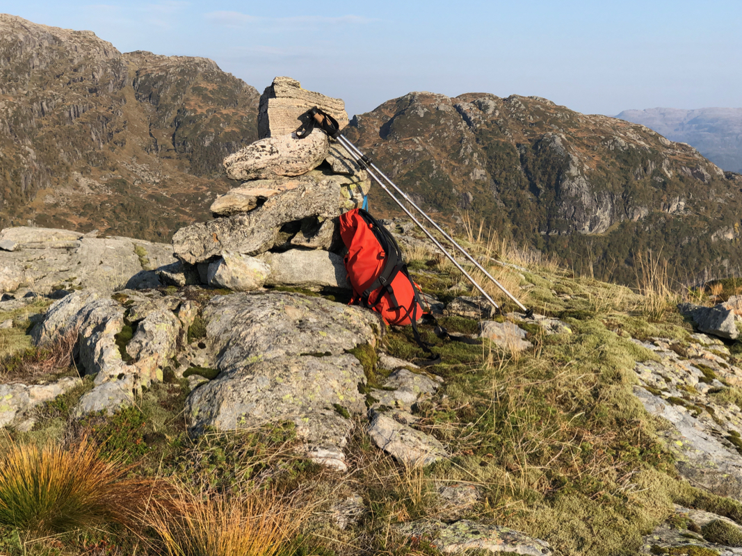
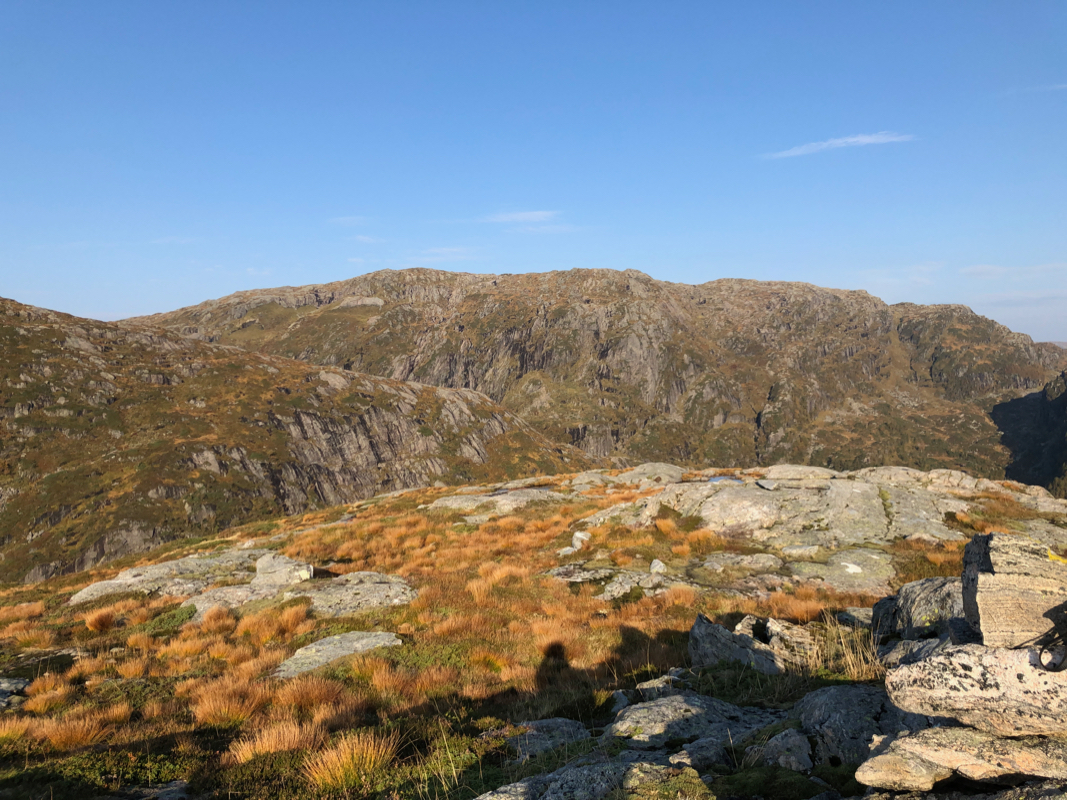
the west summit with a proper cairn.
However, the highest point is located at the east summit
that is easy to see not very far away.
Continue there, a very minor cairn marks the high point.
Comments:
I left my car around 0920 and made a brief stop in Molvikaskaret at
0950. The ascent was easy and I arrived at the west summit at
1015. After some photos, I continued across to the higher east summit
arriving there at 1030. I carried my hand level and measured the two summits in both
directions. The conclusion was in full agreement with the map, the east summit is
higher.
Next, I returned back to the Molvikaskaret col. My next goal was
the higher Husdalsfjellet.