Location: North N60.88921, East 005.44553 (GPS on the summit)
Difficulty: YDS class 2
Climbed: November 2. 2021
Information:
How to get there:
This mountain is located far north and west in Hordaland. From Bergen,
drive north on E-39, cross Romarheimen and continue past Masfjorden. Enter
the uphill tunnel named Jernfjelltunnelen and leave E-39 shortly after you
exit this tunnel. The sign says Duesund, turn off to the left and follow this
road. After 4 kilometer you have a lake on your right and then you arrive
at the first (main) signed intersection.
Turn left and continue to a small meeting place at location
N60.89827, E005.45626. Park here, but make sure that the meeting place is
still possible to use for its main purpose.
If climbing the near by Kjerringefjellet on the same trip, then a common
trailhead is recommended. In this case, drive 500 meter from the
intersection, then
locate a small road going left. This is near location
N60.89644, E005.45914. Drive this road and find a turnout/parking
on your left after about 150 meter. This is a good common trailhead for
both peaks.
Route description:
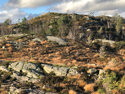
A sign directly across the road points uphill and says
Heinakken 4 km. This is much longer than the trail, even
round-trip. Follow the trail marked with sticks, red paint
and small cairns. The trail may be quite wet and possibly
slippery. It will tak you to a cairn with good views of
the fjord below. This location is N60.88874, E005.44670.
However, this is NOT the summit. Turn inland and hike to
the obvious highest point marked with a single pointing
rock. This location is
N60.88921, E005.44553, about 20 meter higher than the cairn.
Comments:
I left at 1330 and arrived at the viewpoint cairn after 35 minutes.
Next, I walked across (no trail) to the true summit. The return, including
the proper summit, took another 35 minutes. I then proceeded to
climb Kjerringefjellet.