Location: North N60.20260, East 005.74641 (GPS at the summit)
Climbed June 18, 2016.
Difficulty: YDS class 2
Information:
How to get there:
From Bergen, first drive E-16 towards Voss, take Hwy 7 (right) that forks from the traffic circle at Trengereid.
Drive to Samnanger, then through the long tunnel that will exit at the river Tysseelva.
Take Hwy. 48 going right here. The sign will say Eikelandsosen and/or Mundheim. Drive Hwy. 48 passing
Eikelandsosen and Holdhus then descending to Skogseidvatnet where the road runs across a narrow passage
between two lakes. Shortly after (at a place named Kilen), turn right onto Hwy. 549, the sign will read
Sævareid 6km. Exit right (to Sævareid) at the end of the lake, then immediately turn right
(sign Solheim) into a narrow road. Drive uphill, at the top of the hill, a small road forks (uphill) left.
There is an information sign for hikers posted. There is space for about two cars on the side of the road near a small
red building. There is also space for 2 cars on a separate lot a bit uphill (right) along the rough road that
forks. Park here, this is a good trailhead. The location is N60.19366, E005.76766, elevation about 40 meter.
Route:
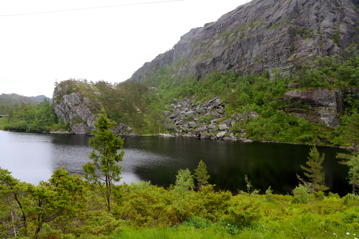
Follow the farm road as it enters Sævareiddalen and eventually turns into a trail. Keep left
when you arrive at lake Sævareidvatnet,
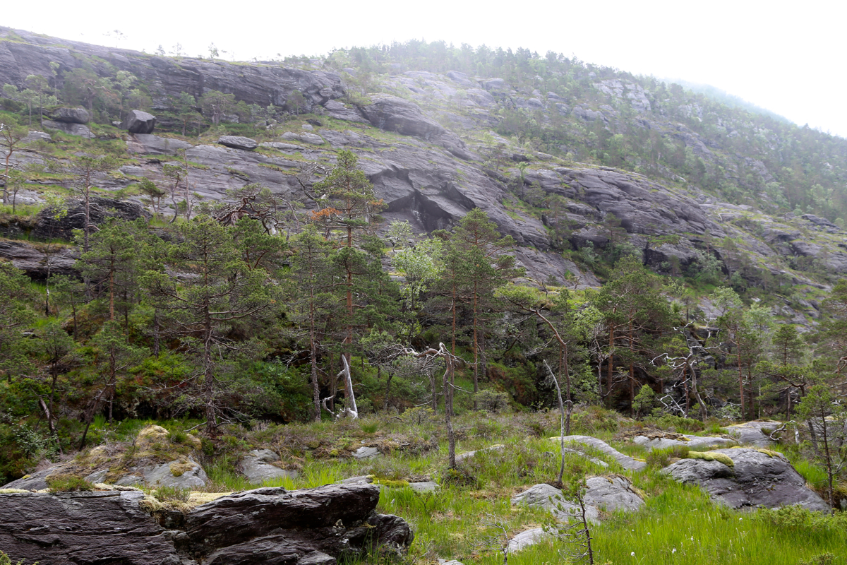
the trail becomes vague here. Turn left and ascend the
ridge that rises towards south. There is a trail, but it is sometimes hard to follow. make sure to
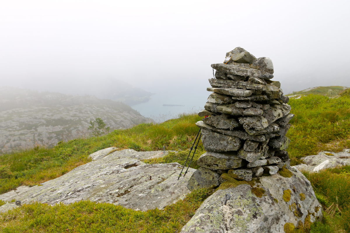
stay left on the ridge at all times and follow it to the top,
the cairn is at the far end of a short
summit ridge with several small spots of about the same elevation.
Comments:
I started out at 1145 and quickly made it to the lake. I ascended the ridge a bit too far to the
north and ran into several small parallel ridges that I needed to cross in order to get back to
the main, leftmost ridge. I arrived at the summit at 1330.
My trip continued to Håvikamulen, see the description there.
Resources:
Images
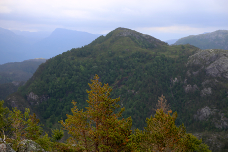
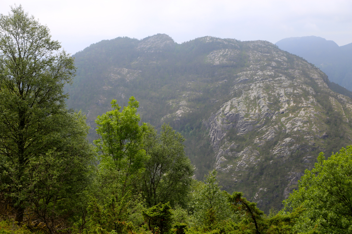
Håvikamulen, as seen when descending from Haugafjellet.