How to get there:
This summit is located fairly near the center of Trondheim, however the
road is still a bit involved. Drive E-6 south. At the interchange where E-39 forks right,
pick up Hwy. 707 that heads west along the coast on the north side of the fjord. Change to
Hwy. 6652 in order to stay near the coast, this will get you to the base of the hill.
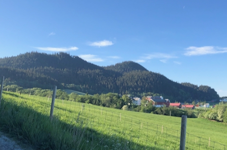
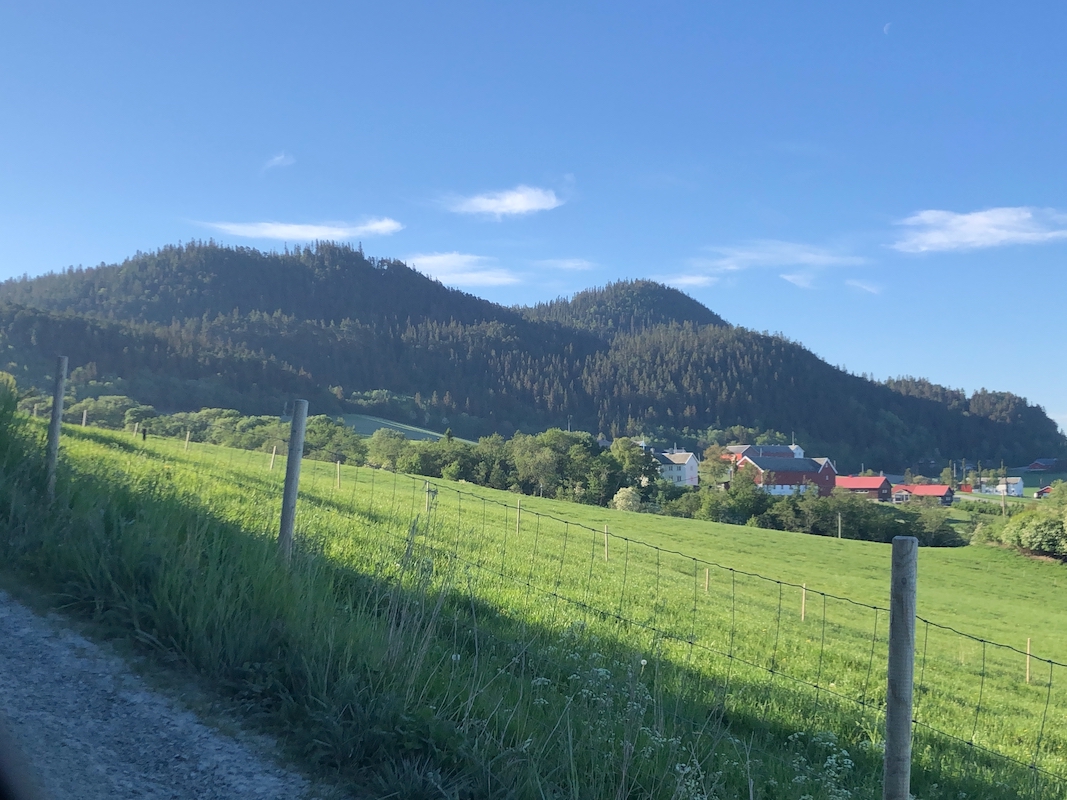
Fork right on a local farm road at location N63.3746, E10.1019. Ask permission to park
or find a place that stays away from private dwellings. I parked at location
N63.37569, E010.09345, this was early morning.
Route description:
From the end of the local road, continue along the forest road, then curve right and
follow the tractor road uphill until a flat section where a big and clear trail
forks left. Take this trail, it is a short cut of the tractor road. Rejoin the tractor
road and continue along an obvious route to the summit.
Comments:
I decided to do this summit before breakfast. Leaving Trondheim quite early, I was
ready to hike by 0700.
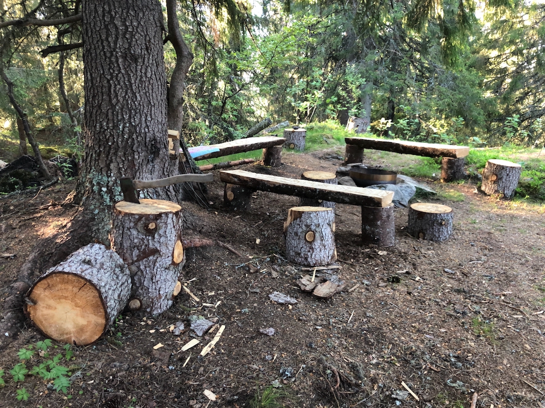
The hike took 15 minutes. The summit area
is well equipped with a few benches, a table,
a BBQ site as well as firewood. There is even an axe for chopping the wood.
There is limited views. I returned to my car in 10 minutes.