How to get there:
From Bergen, first take E-16 to the trffic circle at Trengereid, this is where Hwy. 7 forks right.
Measure from here. Take the 3rd. exit, ie. the road that descends to the fjord. After 600 meter, a smaller
road forks right, take this road. This road is rather narrow and have some sharp curves. Note in particular,
that there is a sharp right curve at kilometer 1.3. Continue to follow the main road until kilometer 3.0.
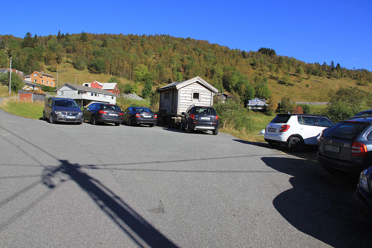
There is parking on the right hand side next to some small building. The road continues another 100 meter uphill,
but there is no parking further up.
Park here, this is the trailhead, location N60.43379, E005.64122, elevation
about 355 meter.
Route description:
From the trailhead, continue 100 meter uphill, then take the road that goes right.
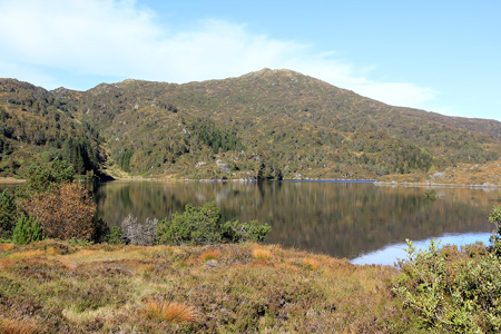
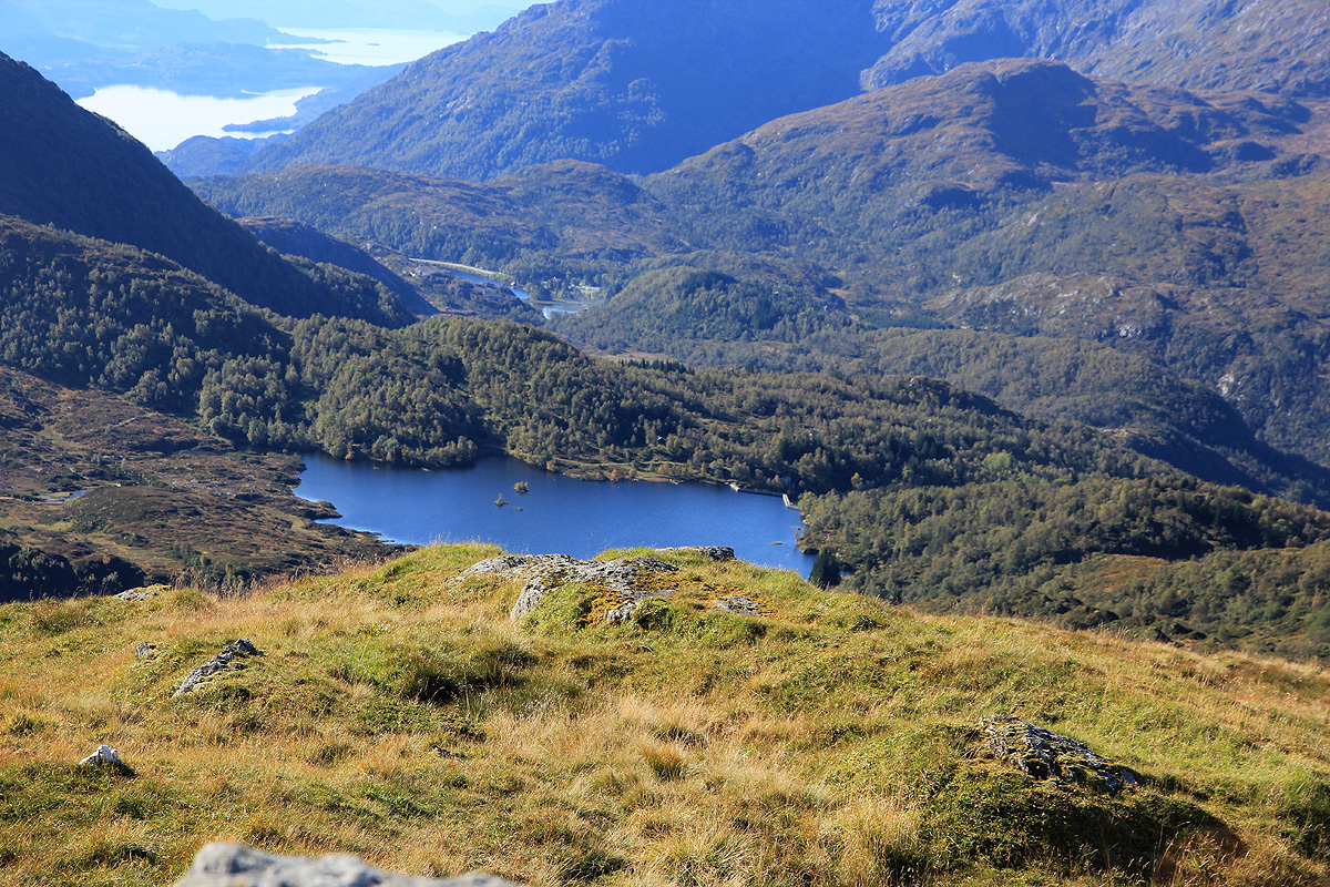
This road is quite short and ends at the base of the dam for Skulstadvatnet. There are signs
here. The trail to Hananipa goes left, while there are trails/routes to Raudnipa and Krånipa
going right.
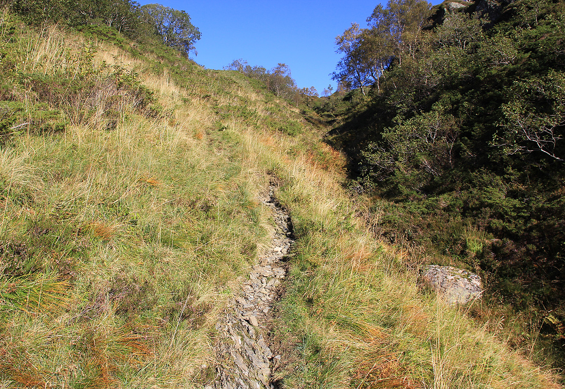
Follow the road as it turns left, then take a small trail right, in order to follow the side of the lake.
Follow this trail, note that as it crosses a small creek, the trail/route turns left and starts following
this creek. Higher up, the trail crosses back to the left side.
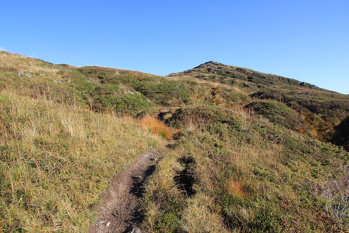
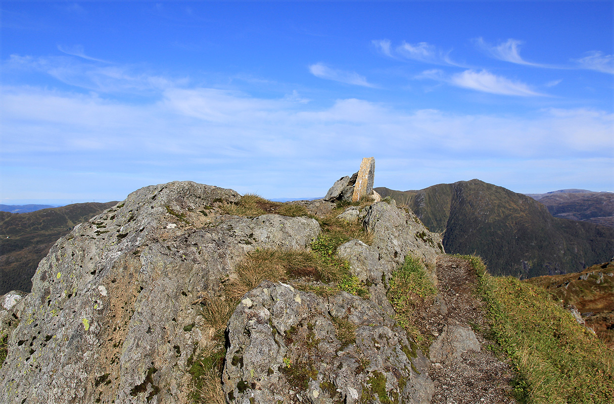
Almost at the top of the gully, the trail
turns right (there is a sign here). The trail
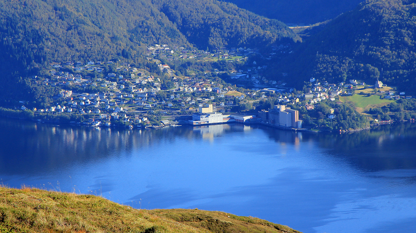
now runs very nicely along the ridge with great views down to
the fjord and across to Osterøy. There is a small,
false summit before you reach the highest point.
There is a good viewpoint also a bit further (and lower) along the ridge.
Comments:
The weather was just gorgeous this weekend and today was also the day of equal length across the planet.
For us living in Norway, this is a reminder that fall is here and that the days now will be getting shorter
until we are almost at Christmas. It is said, that this is a day where people should go outside and do
a hike.
I left my car at 1030 and had a very nice and easy walk to the top arriving there by 1115. I sat for a while,
just taking in how nice it can be only a few minutes outside Bergen.
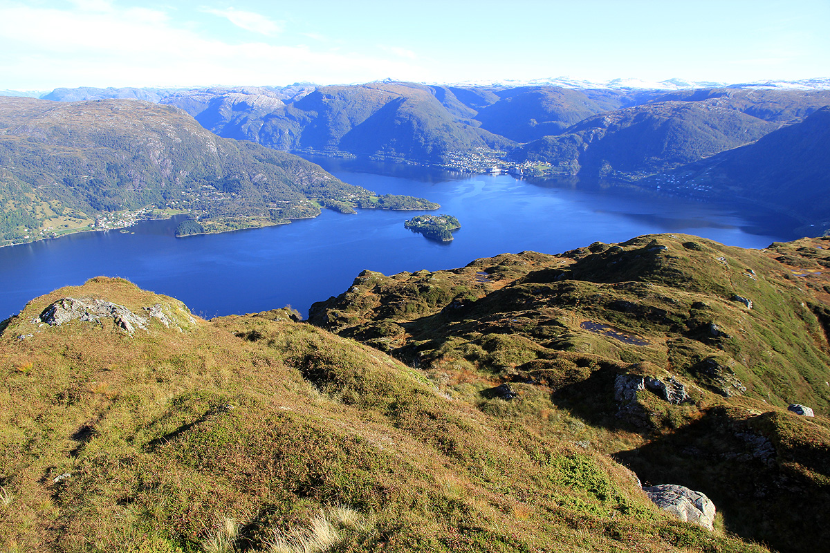
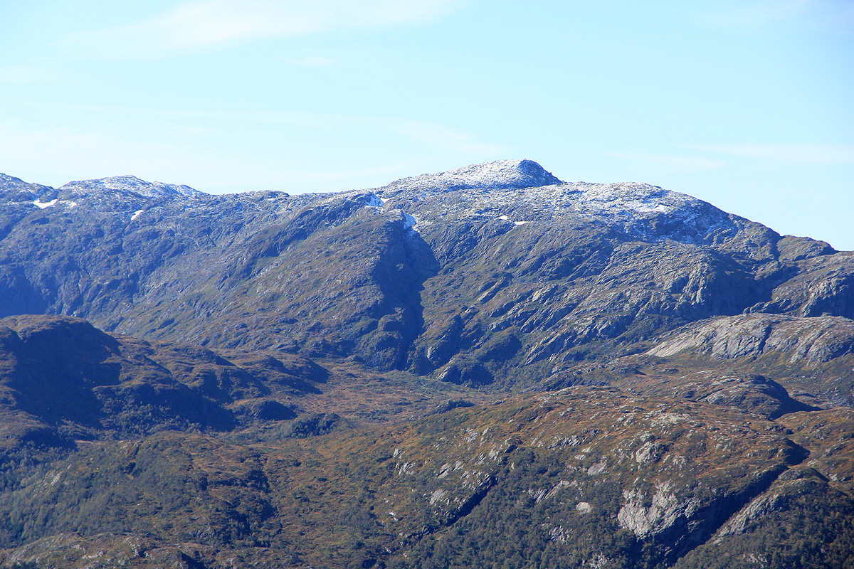
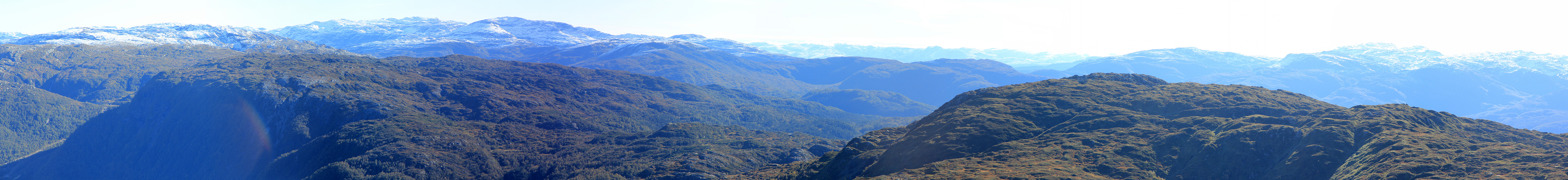
A dust of new snow on Gullfjellet, more white on
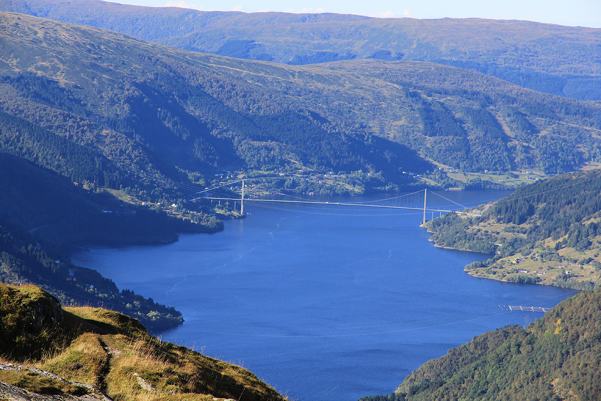
the mountains further east. Briliant view back down to the
Osterøya bridge.
My plan involved 2 more summits, first
across to Raudnipa, then
completing the circle via Krånipa and back to the road at Skulstadvatnet.
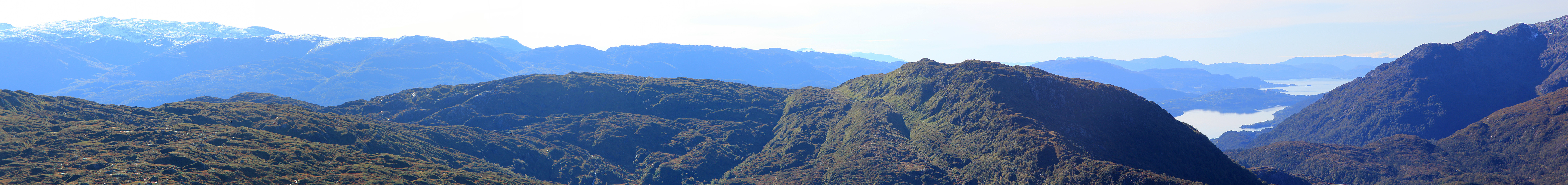
In good weather, this route is pretty obvious. There are fragments of trails, but basically this is off-trail
hiking in good and easy terrain. I reached Raudnipa at 1245, noting that the highest point is not where the
trigonometric marker has been placed, but slightly further north on the summit ridge. I continued down towards
Holmavatnet and passed it on the north side using a trail that ran partway up the slope. This got me to the
dam of Holmavatnet where some construction work is taking place. I crossed just inside of the dam (the lake was
essentially drained), and got myself into some bad mud. The continuation up to Krånipa was pretty straightforward.
This mountain has two local summits about 250 meter apart. The southernmost summit
is the highest. Arriving at 1410, I visited both these
points before descending the obvious ridge back down towards Skulstadvatnet. I reached my car at 1500, this was a nice
4.5 hour hike in a "new area", more people fram Bergen should check it out!