Location: North 60.44325, East 005.54690 (GPS at the summit)
Difficulty: (YDS) class 2.
Climbed January 6. 2013.
Information:
How to get there:
This mountain is on Osterøy. Drive from Bergen and cross the big bridge (toll) to
Osterøy. You will drive through a tunnel about 2 kilometer long after crossing the bridge.
Measure as you exit the tunnel. Continue along the main Hwy. 2.4 kilometer and fork right here.
At kilometer 3.8, make a new right turn, there is a sign here saying
Austad 2.5. You drive through a farm, then the pavement ends at kilometer 6.2. Continue uphill
on a good dirt road to kilometer 6.7, there is a gate and a sign for parking. park immediately after
driving through the gate. The road continues, but visitors are advised to park in this location.
The location is N60.45796, E005.55614, elevation about 345 meter.
Route description:
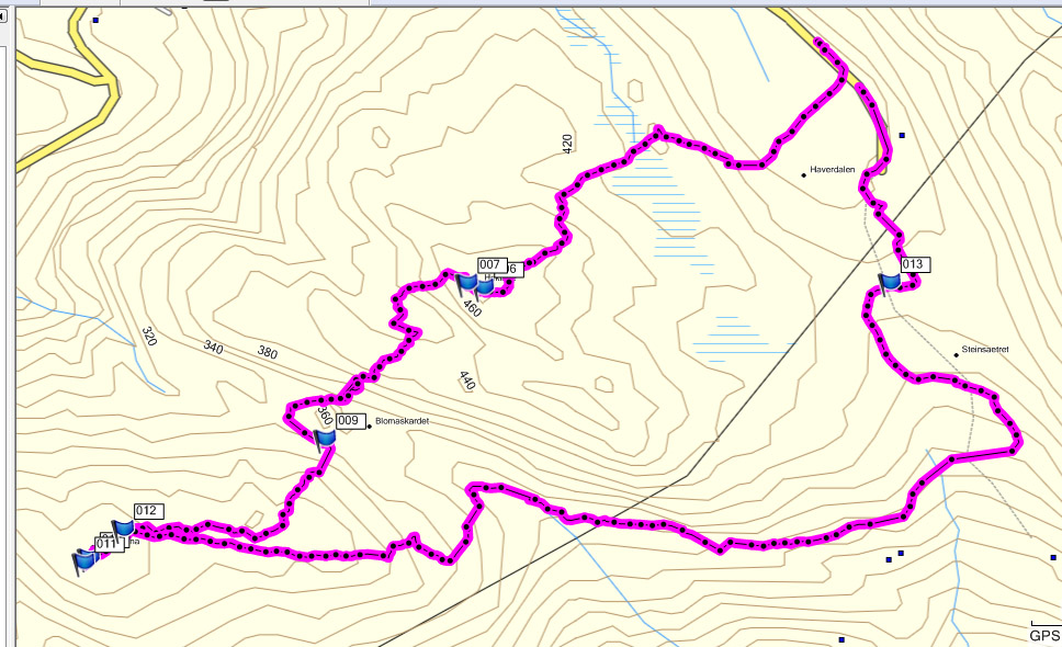
Continue to the end of the road where you pass a building, go slightly right in order to
follow a farmers road that will continue to the main saddle of this valley. (See also plot below.)
Continue to follow this farmers road as it descends a bit on the other side of the pass before heading
west, that is, it contours around Hoklane on the south side. You will leave this
road and continue along a pretty clear trail that stays about level before climbing
slightly into the valley that runs up to the col Blomaskardet.
As you enter the valley that will end in a saddle
between Hoklane and Hæddena, keep left and look for a track (or any reasonable route) that will ascend
the mountain while avoiding most of the sometimes trouble vegetation (einer or local: brake) that grows in this
area.
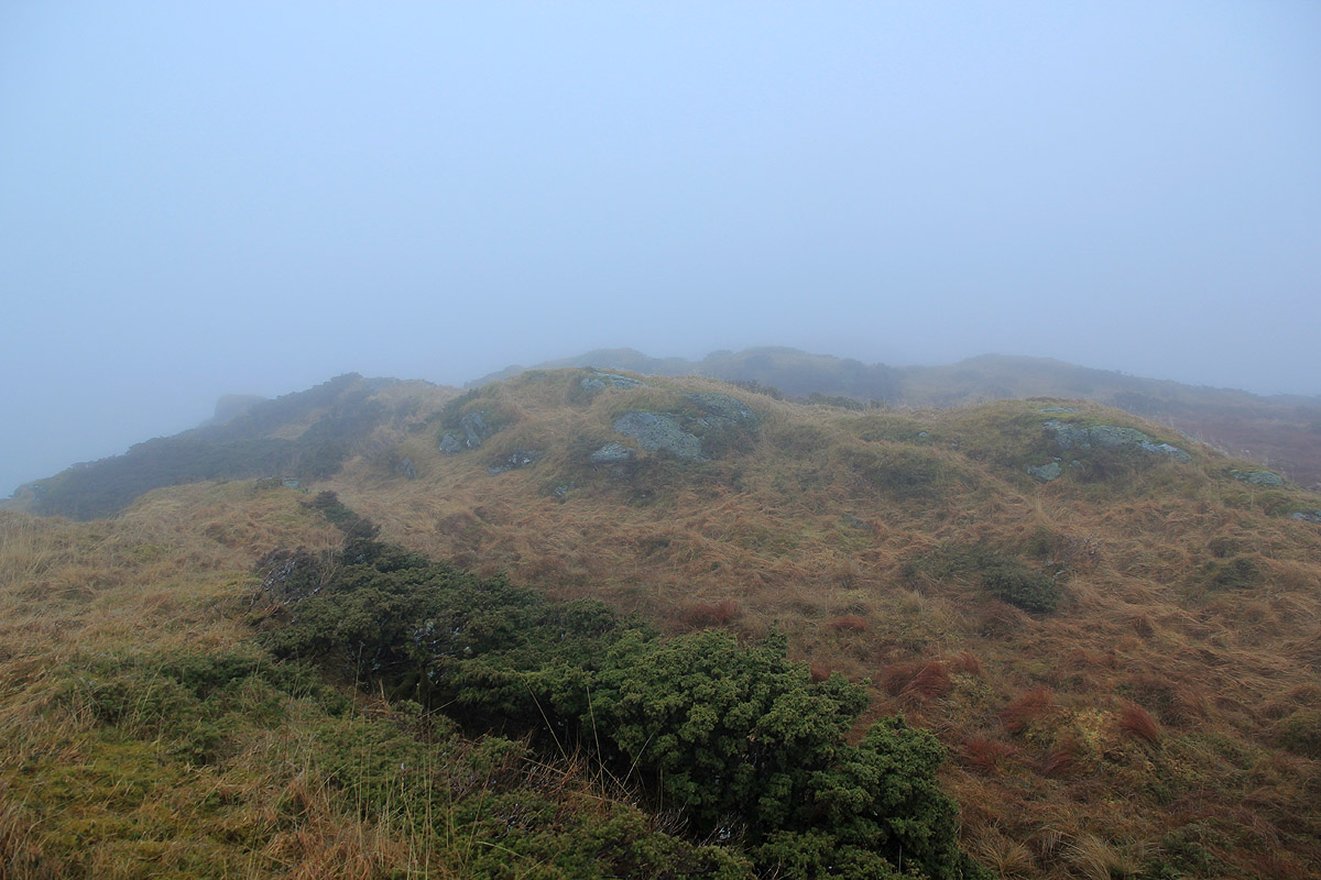
There are several small humps of roughly the same height on the summit plateau, my GPS measured
two tops at 466 meter while the one marked in this report read 469 meter.
Here is a plot of the route followed.
If your goal is Hæddena only, then you should follow the route from the building at the
end of the road through the saddle (waypoint 13 in the plot), then as indicated.
Comments:
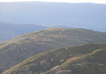
I decided to visit the two tops Hoklane and Hæddena on this very foggy Sunday afternoon.
I started around 1330 and arrived on the Hoklane summit by 1400. I continued more or less straight
downhill to the saddle between the two tops, then uphill, arriving at the summit of Hæddena
around 1450. My return hike contoured around Hoklane on its south side, a much better route if only
the summit of Hæddena is your goal. I was back at my car around 1550.