Location: North 60.91650, East 5.24230 (GPS on summit)
Masfjorden, Norway
Difficulty, YDS class 2
Climbed on May 13. 2021
Information:
How to get there:
From Bergen, drive to Knarvik (E-39), then turn left in the first traffic circle,
Hwy. 57, signed for Mongstad and Leirvåg. In Leirvåg, take the ferry,
it leaves 15 minutes past the hour. The return ferry leaves 15 minutes before each hour.
From Sløvåg, drive west on Hwy. 57/570, then fork north on Hwy. 5438
to Sleire. (Note that this road forks right from Hwy. 570.) Find (or ask for) parking
near the bridge crossing the small river. I parked near a bus stop at
location N60.88900, E005.22334, elevation near 40 meter.
Route description:
Walk along the small road that runs up to Markhusdalsvatnet. After about 500 meter, you
should be able to find a marked trail running up to Sleirsfjellet. From Sleirsfjellet,
you may follow easy terrain across to the higher Gullbrekkefjellet.
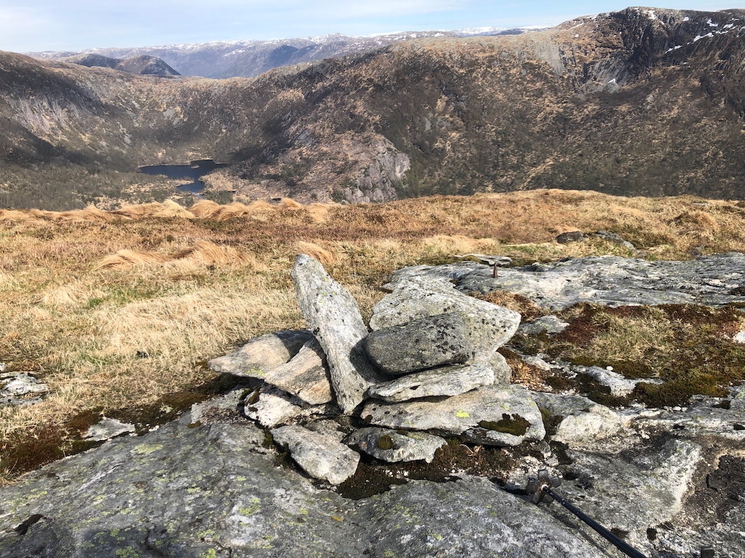
The summit
is marked with a few rocks.
Comments:
I climbed Storenova and Gullbrekkefjellet on the same trip. Starting at 1300, I followed
the forest road, then descended and crossed over to the slope of Storenova. My plan
had been to use the forest road that runs across the col just west, but instead of
traversing there, I ascended the peak directly uphill. Some bush and a few steepish sections.
Arriving at the summit around 1425, I had a nice chat with 3 people already there (from Gulen).
Leaving after about 20 minutes, I continued along the main crest, then descended to the valley
floor near some cabin. Spotting a gully that seemed to run all the way up, I ascended more
or less directly to the summit of Gullbrekkefjellet, arriving there at 1620.
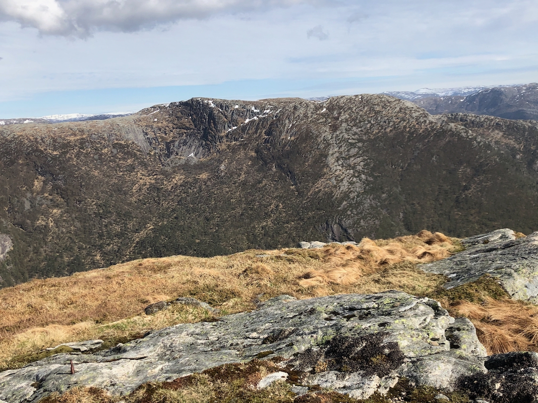
I could now look back to my first summit, Storenova.
After a brief stop, I continued across Sleirsfjellet, then descending along the ridge.
I expected to find a trail here, but did not see any. The reason turned out to
be that I bypassed the summit in order to save myself a bit of elevation. The trail does
not follow the ridge. Back at my car around 1745.
