Location: North 59:25.801, East 005:57.820 (GPS on the summit)
Location: In Rogaland, Norway
Saddle: Just east of the mountain at Rosseid (40-45)
Climbed March 6. 2005.
Information:
How to get there:
From Bergen, drive E-39 south in the direction of Stavanger.
This involves a 55 minute ferry crossing from Halhjem to
Sandvikvåg on the island Stord. This ferry cost NOK 162 as
of 2005. Further south there is an extensive bridge/tunnel crossing in order
to connect back to the mainland. This is also more than NOK 100 in toll.
Continue south on E-39, until the intersection with E-134, this is at a small
place Våg about 100 km of driving from Bergen. Take E-134 east 26 km to
the village of Ølen. Leave E-134 here and drive 9 km south on Hwy. 514 to Sandeid.
Turn left onto Hwy. 46 at the stop sign and follow this road east for about 33 km to
Ropeid. At this intersection, turn right and then immediately right again and continue
along Hwy. 46 about 20 km to the farm Medhus, passing the lake Grytevatnet (31 m) about
3 km before your destination.
Just after Medhus, there is a forest road entrance on your right hand side. Park here, but
make sure that you do not block access. This is the trailhead,
location north 59:23.222, east 005:59.333, elevation 52 meter. Route description:
This route starts south of the farm Medhus at the trailhead specified above. Please note
that there may be better/easier ways, in particular, there are trails from lake Grytevatnet to the
hut Grytestølen from the east and there are a couple of forest roads that may give
convenient access to lake Vikastølvatnet from the west side. It is very likely that these
two alternative trailheads provide a shorter and more direct route to the summit.
From the trailhead south of Medhus, proceed left and follow the forest road as it climbs upwards.
According to the map, one should be able to follow a forest road up to elevation 300 meter just
south-east of the lake Askvikstemmen. Fight yourself another 80 meter vertical to the small
pond near the narrow passage that runs north of Smøråsen and provides access
to Askvikstemmen.
Note:
We did not succeed with the plan as outlined, but connected to the forest road that runs towards
Tverrfjellet and Ramslia. There was a fenced in area with a steep forest road going uphill
at the uphill "far corner" of an area that had been cleared out. This road will take you
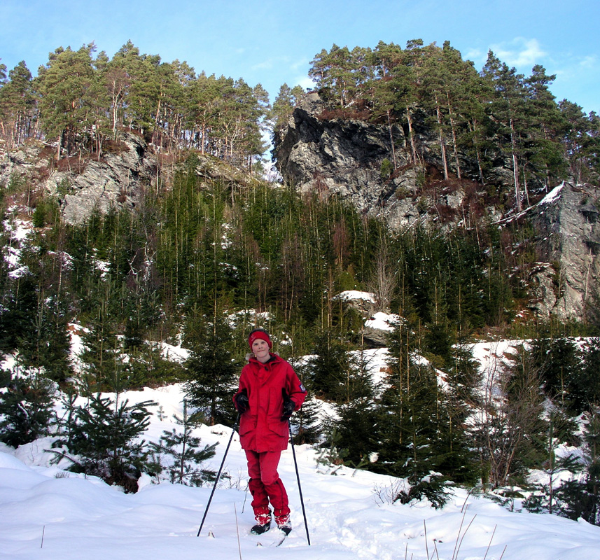
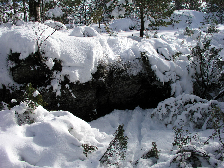
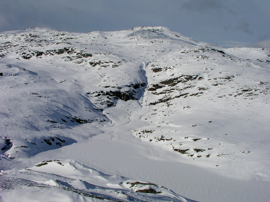
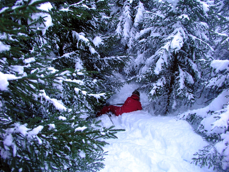
up to about 320 meter south-east of Sjoneheia (409 m). The terrain is not very skier friendly,
see pictures below. Proceed east of Smøråsen and descend steeply to the distinct
valley on the north side.
Once in the valley north of Smøråsen, (by one way or the other), proceed across the
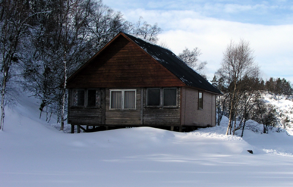
meadow and ascend the narrow passage leading north to lake Askvikstemmen, 397 m. There is an old
cabin on the left (west) shore. Proceed across the lake to its north-west end, and follow the
cliffs onwards until a point
where one can climb across and enter more level terrain. From here, head directly to the
south-west end of lake Vasstølvatnet. Shortly after reaching the lake, turn left in the
direction of Selvatnet (357m), crossing a small pond. The objective is now to ascend north
and gain more open terrain on a (broad) ridge that extends north-east from Selvatnet.
The terrain may again test your determination (cliffs), but soon you will locate more friendly
terrain that extends higher.
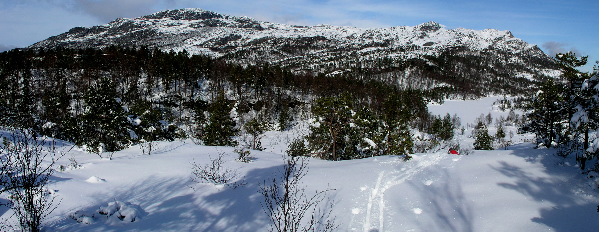
Continue uphill on a steady north-east course. Higher up, there is a short steeper pitch before
the terrain again climbs more gently. Continue upwards aiming for the horizon to the right (east)
of a very pronounced cliff that rises to the sky. Gradually, the terrain levels off and there
is good mountain skiing as the route continues east of Øvre Bunuten (732m) to a point where
you see Simonsdalsvatnet 60-70 meter below. Descend, while observing possible avalanche hazards.
Note:
An alternative here, would be to ski south and west of Øvre Bunuten, it may then be possible
to avoid the loss of elevation, however, the terrain looked rugged and this option has not
been checked out.
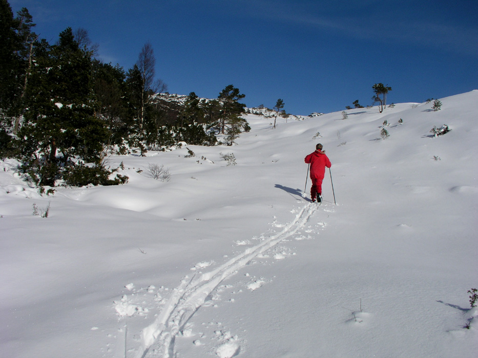
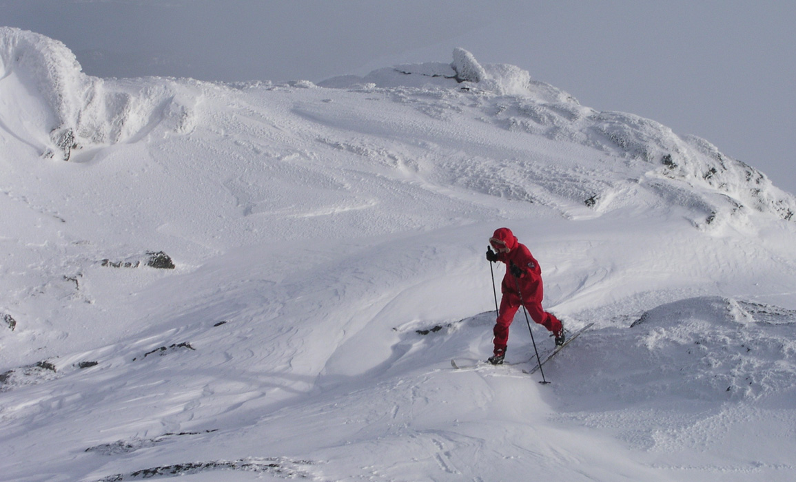
Ascend the slopes west and north of Simonsdalsvatnet. As you approach the final summit ridge, you may
spot a few small cairns and a trail marked by the usual red T. The very last section is obvious and
poses no difficulties.
Enjoy the 360 degree views, if you followed the route described here, then
you definitely earned it! Comments:
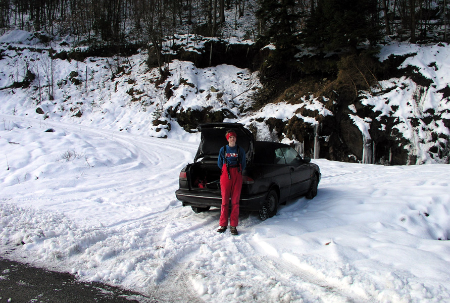
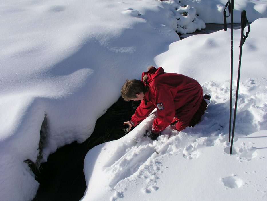
I did this climb with my son Pål Jørgen, age 16. We left Bergen
at 0710, caught the first ferry from Halhjem at 0800, continued driving and arrived
at the trailhead around 1130.
We proceeded up the forest road, and followed one such road to about 300 meter elevation.
However, it was obvious that this was a different road from the one indicated on our map.
The continued uphill ski to about 400 meter was a constant struggle in deep snow
with trees and vegetation further obstructing our progress. As soon as we reached 400 meter
and more level terrain, new problems appeared, this time in the form of very
distinct trenches (natural) running across our course. The walls of these obstacles being two to
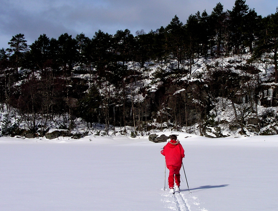
three meter, some could be jumped, some skied down. We contoured on the east side of Smøråsen
and skied down into the narrow valley on its north side, then followed the route as described above
to elevation 530 meter, where we had our main rest for the day. The time was 1445, we had spent more
than 3 hours and the distance back to the car was 1.74 km. I started to worry slightly about
the overall time for this adventure, clearly extrapolation would not leave us much hope
of success.
The continued skiing above timberline improved everything, no struggle in deep snow, pretty easy
route finding, reaching the summit at 1550. The terrain on this mountain is rugged, there are some
steeper slopes and avalanche dangers do exist. However, it was still pretty easy to
pick a route that led us fairly directly to the summit.
The summit had a very well kept summit register, we signed in as only the second visit of the year.
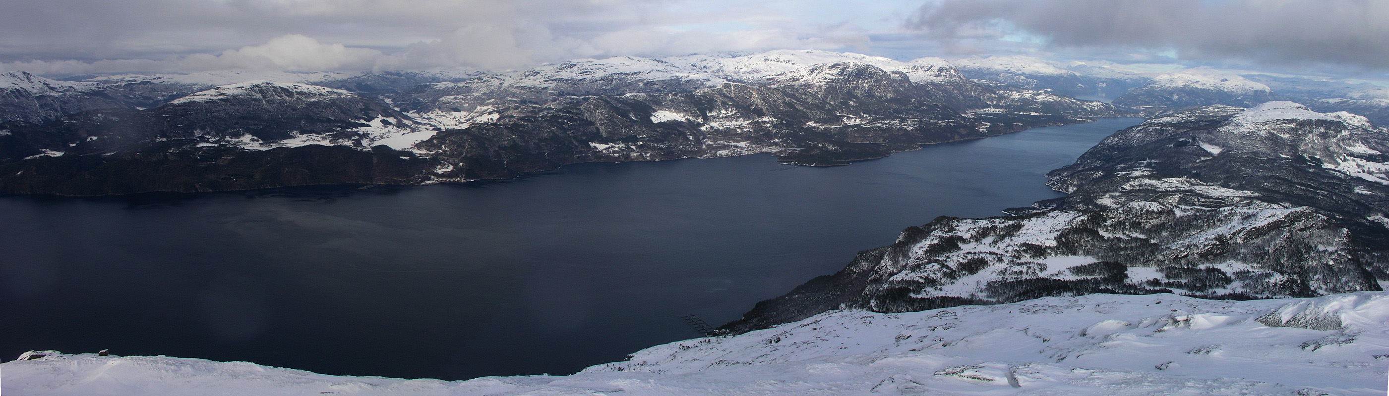
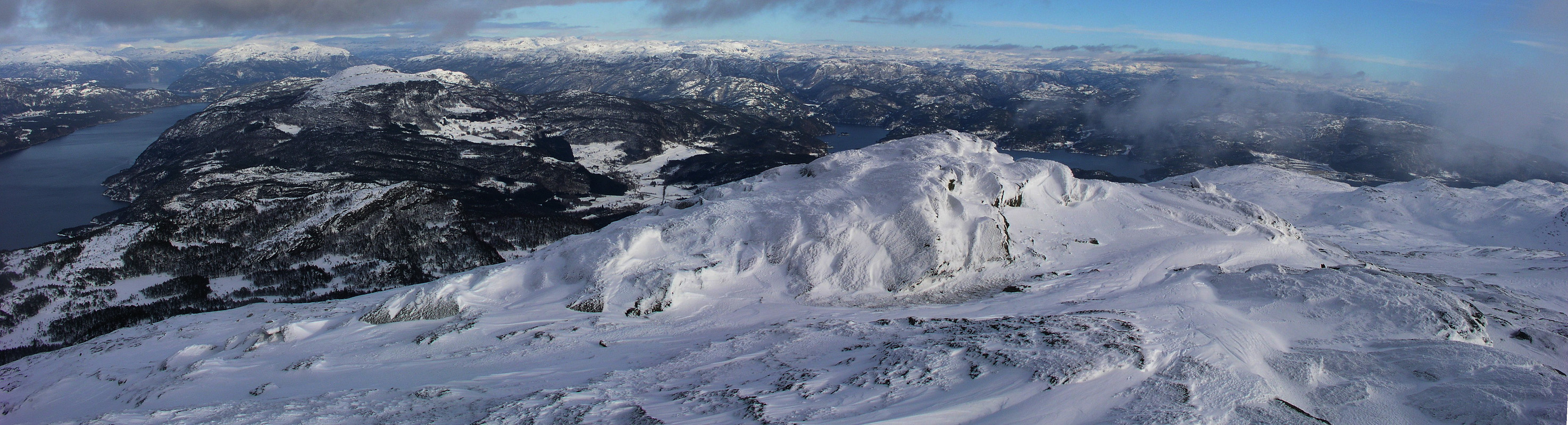
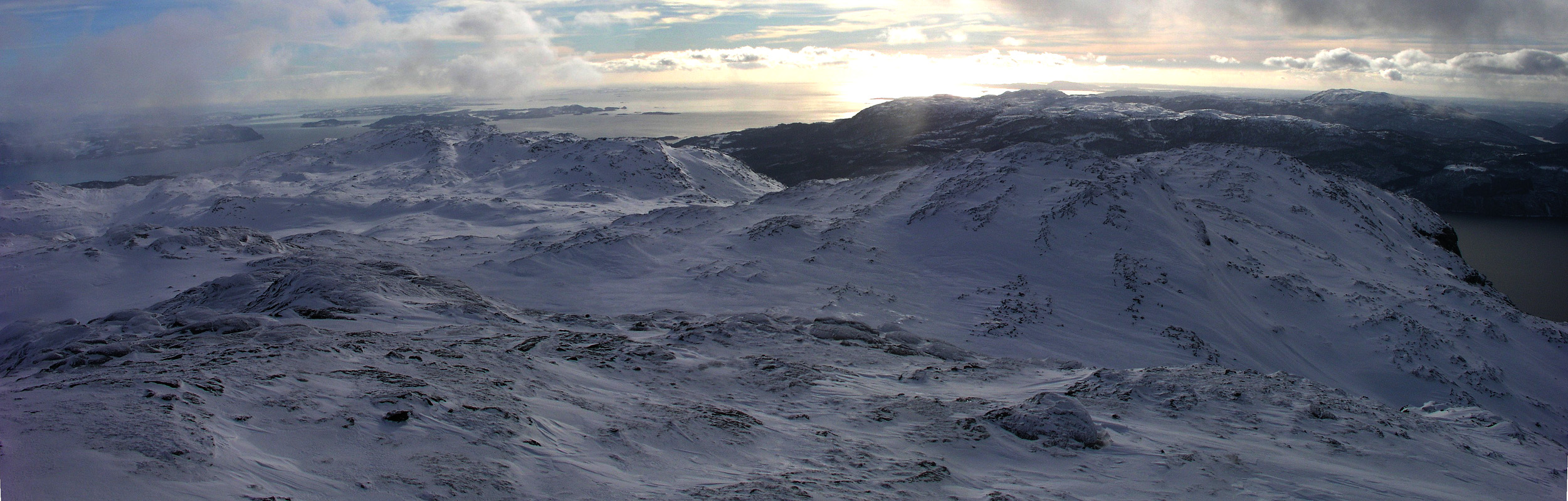
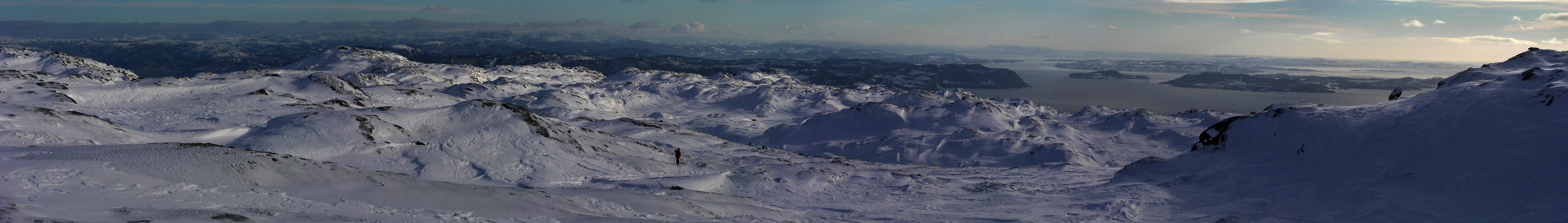
The cairn was also very impressive, rectangular and well built. Unfortunately, a few clouds kept
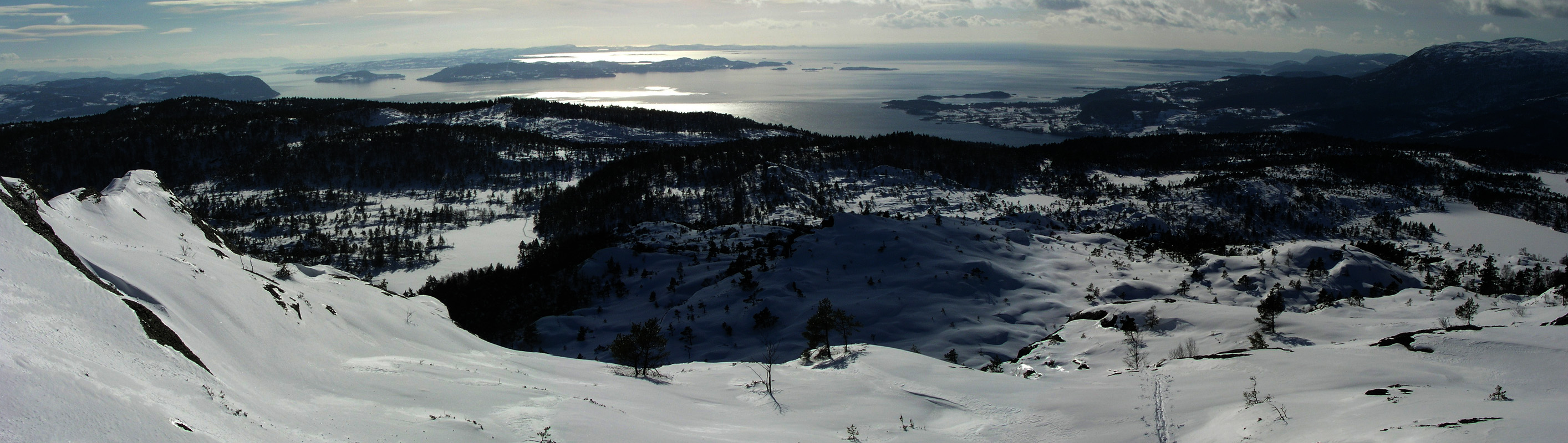
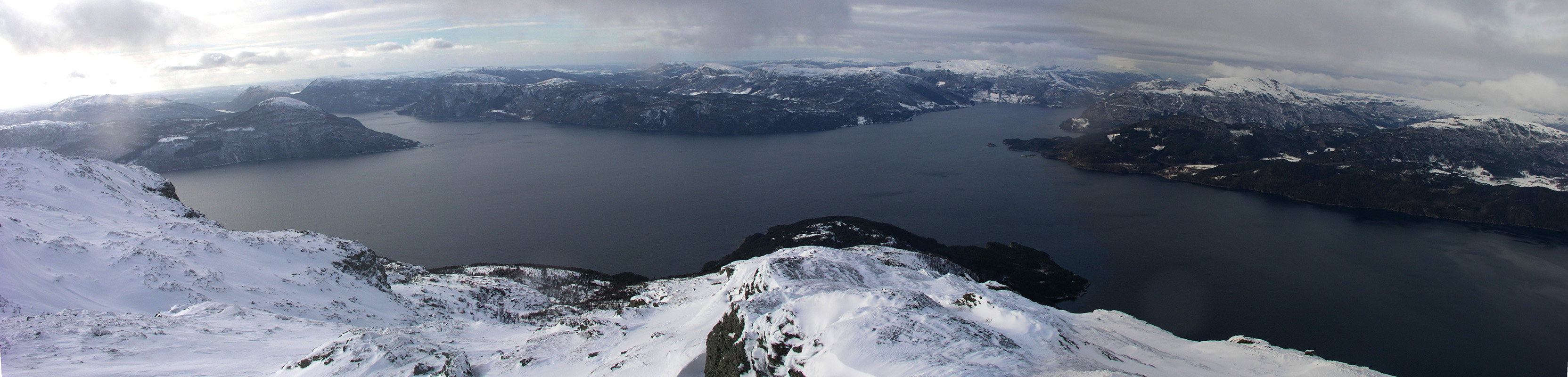
sweeping the summit, making the view less than perfect. I still shot some panorama pictures, at
least a few should give an impression of the view. One has unobstructed views out the wide
Bokna fjord, the city of Stavanger was hard to see, but clearly within (theoretical) line of sight.
After a 10 minute break we started down at 1600. The return ski was much easier due to the ski track that
had taken us so much effort to break on ascent. As we came back to the narrow valley east of
Smøråsen, we continued straight down. According to the map, this should connect with
the forest road that we originally had planned to use. This route brought us challenges,
this time in the form of a near vertical forest of Christmas trees (2-4 meter tall trees), growing
densely packed and leaving little room for visits like ours. Eventually, we connected back
with our ascent trail and hit the car at 1820.
A good day, 7 hours of skiing, partly in "advanced terrain". We never took the skis off, we struggled
quite a bit, and had a fair sense of accomplishment while driving back home to Bergen.