Location: North 60:22.262, East 005:16.612 (GPS at the summit).
Bergen, Norway
Difficulty, YDS class 1
Climbed on June 26. 2011
Information:
How to get there:
There are many trailheads. I decided to use a trailhead with good parking in
Fyllingsdalen. From Bergen, drive to Fyllingsdalen, continue until road 282, Spelhaugen.
(Where among other things the DMV in Bergen is located). Drive into this small valley
until the road ends in a good sized parking area. Location N60:21.311, E005:16.334,
elevation about 58 meter.
Route description:
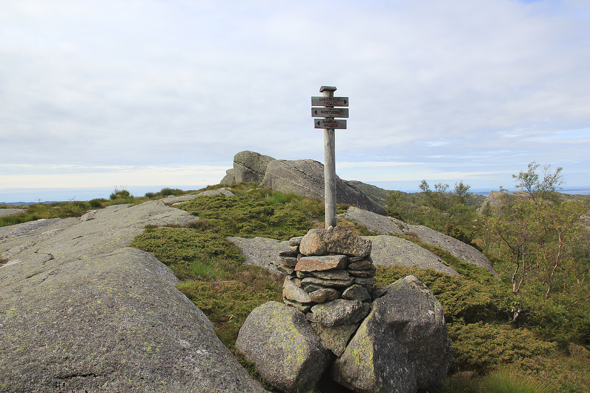
Follow the pedestrian walk-way uphill to the first major trail forks off right.
There is a sign for "Viggo hytten". Take this trail, then fork left (uphill) quite
soon. You will cross over Eikelifjellet then pass east of the lake Nipetjørna before
hitting a major trail fork where
again you follow the sign for "Viggo hytten". This trail is quite nice, but has quite bit of
up and down on its way to Gravdalsfjellet.
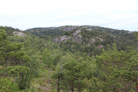
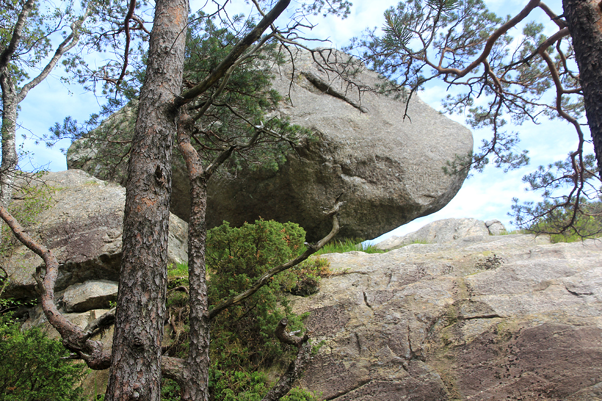
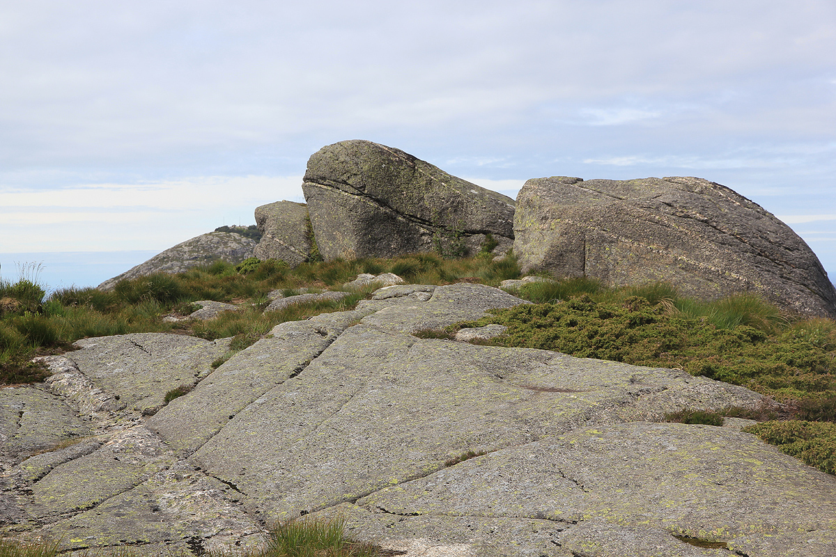
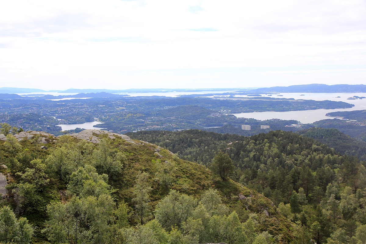
There are interesting rocks and good views along the way.
Finally,
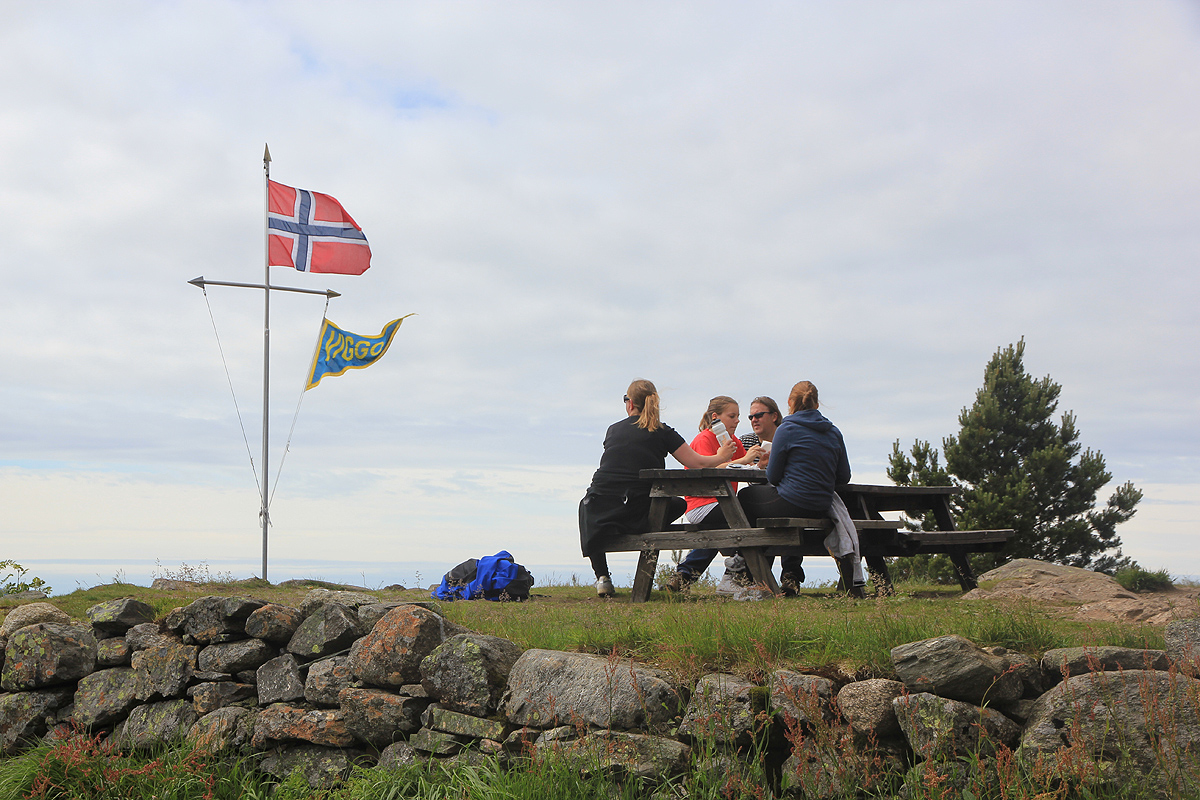
Viggo hytten comes into view.
It is open and serves waffles and drinks on Sundays in the
summer season. From here, the hike to the summit is rather short and easy.
Comments:
This turned out to be my last P100 summit in the city of Bergen. I started at 1245 and
arrived at the summit 1330.
After a brief stop to enjoy the view as well as a pit stop
at Viggo hytten for waffel, I returned to my car by 1425, roughly the same time up and down
which is normal for me, my previous two hikes on this nice Sunday had deviated quite a bit!