Location: North 60.43077, East 010.68729 (GPS on the summit)
Difficulty: YDS class 2
Climbed: October 24. 2021
Information:
How to get there:
Take road 5386 towards Mjølfjell / Raundalen from Voss.
Turn left shortly after crossing the railroad (on a bridge) onto a road signed
Grauo. After a sharp right turn, one may pass through a farm and find
parking at location N60.65353, E006.52150, elevation near 340 meter.
Note: One should try to ask the local people about permission to park, it will then
most likely be granted.
Route description:
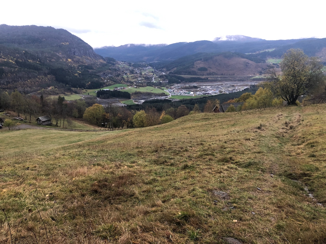
Head uphill across an open field, then turn right on a tractor track. As this track
nears its highest point, turn left and follow even more weak signs of tractor activity
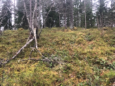
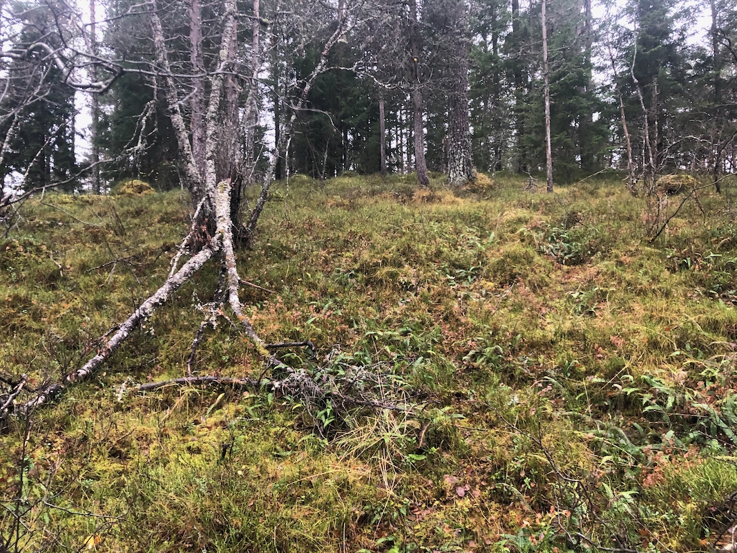
uphill. Eventually, just head uphill and
locate the highest point at location
N60.65726, E006.51355.
Comments:
I was on my way from Lillehammer to Bergen and took the opportunity
to visit this small forest hill.
The ascent took about 15 minutes each way.