Grassy Hill
- Grassy Hill
- 642 m
- Primary factor 252 m
- Location: Hong Kong
- Location: North 22.41165, East 114.16589 (GPS on the summit)
- Difficulty: YDS class 1
- Attempted October 5, 2019
- Climbed October 6, 2019
|
|
Information:
How to get there:
This mountain is located in Hong Kong, New Territories district.
The best starting point may be the MTR station Tai Po (on the blue line).
This report describes a route from my apartment, MyFair by the Sea and all
the way to the summit.
This route is good for people starting anywhere near Science Park along or near
the coast between the metro station University and the next station Tai Po on the
blue line.
Route description:
Locate and cross the bridge (location: N22.43067, E114.20345). Walk on the sidewalk on the
left side. Follow this as the road curves left, then more straight towards the small
valley ahead. A small uphill road forks left at location N22.42372, E114.20004, follow
this road until it ends. A smaller footpath will connect you to a road descending from
above. You should be near location N22.42108, E114.19814, elevation around 70 meter.
Follow the steep road that continues uphill, partway up you may walk steps on the right
hand side of the road. You will now get to a larger road (with a bus stop) that runs
across your (uphill) direction of travel. Cross this road and continue uphill on a concrete
path (do not take the stairs). This path climbs steeply with some curves. At the first spot
where this path levels out, locate steps/stair that climbs left. This location should
be N22.42037, E114.19467, elevation is now near 175 meter.
The steps take you up to a viewing area (left near the top) and a memorial site (right).
Walk past the memorial (loc: N22.41995, E114.19479, near 200m elev.) and continue uphill
on a more obscure trail amongs pretty dense vegetation. The trail climbs steeply here and
should be cleared a bit more, but fortunately, fairly soon you reach location
N22.41882, E114.19382, elevation near 270 meter where you turn right onto a somewhat
better trail.
The small, but quite ok trail now continues in the jungle (bamboo), ignore minor
side trails at N22.41937, E114.19287 (stay left) and N22.41890, E114.19147 (continue on
the main trail), then arrive at a big trail named Yellow Walk at location
N22.41777, E114.18919, elevation about 310 meter. Turn left here and follow this
trail until it exits onto a road (no traffic) at location N22.41615, E114.18165, elevation 350 meter.
Walk left and stay left along this road, while the Yellow Walk exits right (there are information
signs in this area), continue on the road, then take the right fork at location
N22.41496, E114.18102, elevation 360 meter. Follow the road to a new major fork
at location N22.41889, E114.17048, elevation 420 meter. Turn left and continue on this road until
you reach location N22.41276, E114.16010, elevation about 450 meter, where a very nice and visible
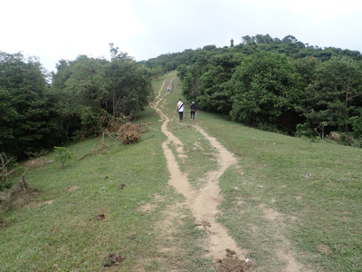
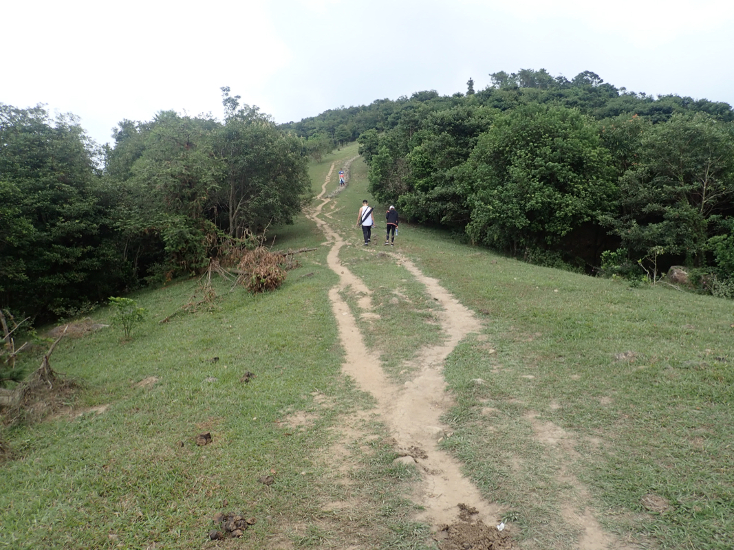
path with stairs head directly uphill to your left. Climb the stairs, quite many steps and follow
the trail to the summit.
Just before the summit, you join a road ascending from your right, the summit
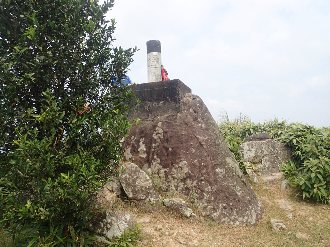
is straight ahead, follow a short trail past some vegetation. The summit is a big boulder with
a smaller concrete marker on top.
Comments:
Heidi and I went for a walk in order to explore a route to this hill the previous day, Saturday.
However, we did end up slightly wrong on the Yellow Walk trail and to complete the hike seemed a bit
too much that day. We therefore walked the opposite
way on the Yellow Walk and eventually ended up
near Tain Po market, on the sea side of it. We took a taxi home quite happy with our discoveries.
I started out on Sunday around 1000, this time I felt pretty certain that I would bag the hill.
Turning left from the concrete path pretty early was clearly the way to go. However, the short stretch
between the memorial site and the somewhat better trail does need some trail maintenance. I shall
see if I can get a machete and improve that section while staying here in Hong Kong.
This part of the route is a bit overgrown, there are several branches that physically block the
path and combined with going steeply uphill, it is a bit of a struggle. Once hitting the other trail,
the rest of the way was pretty narrow, but quite OK and soon I intersected with the Yellow Walk trail
in the expected location. From here, the hike was easy and I arrived at the summit at 1150 - pretty
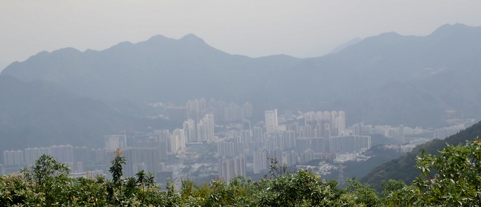
good. There were quite a few people out, some running some walking, I guess most of them came from
Tai Po.
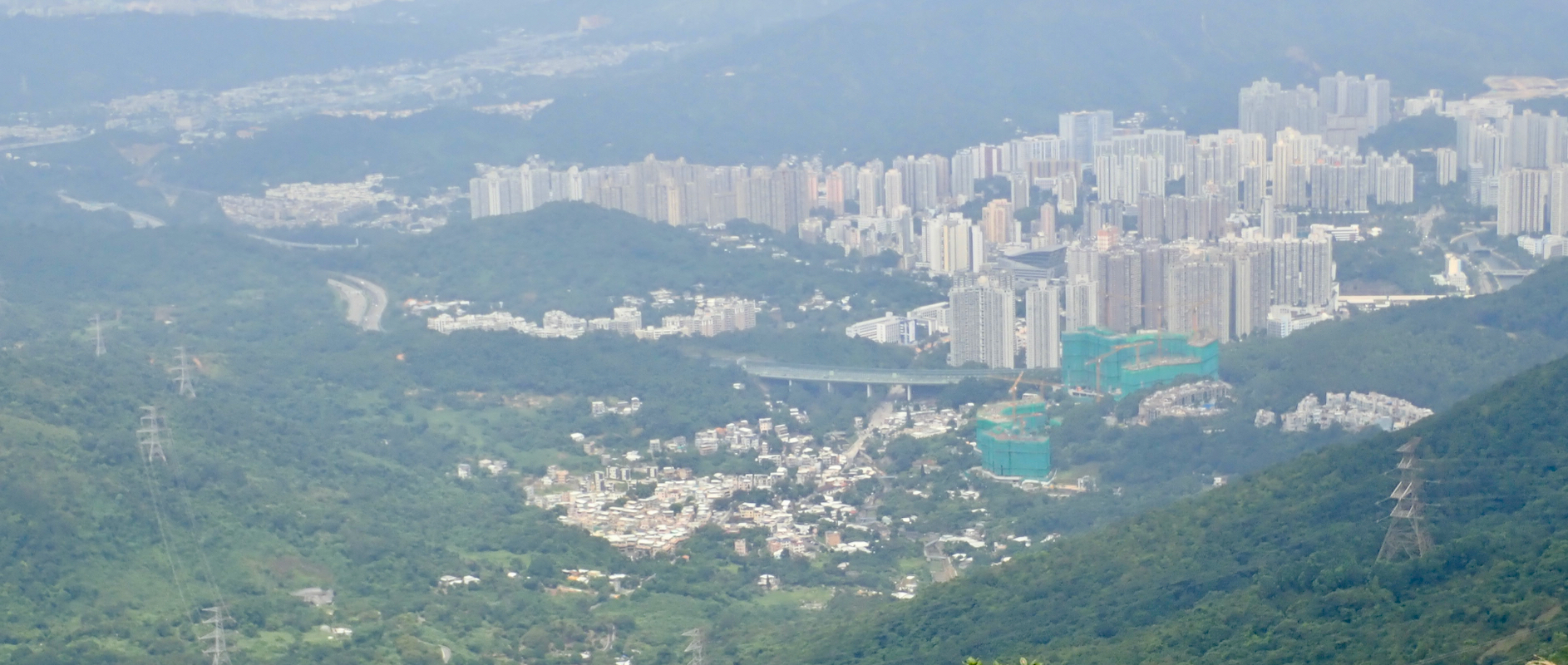
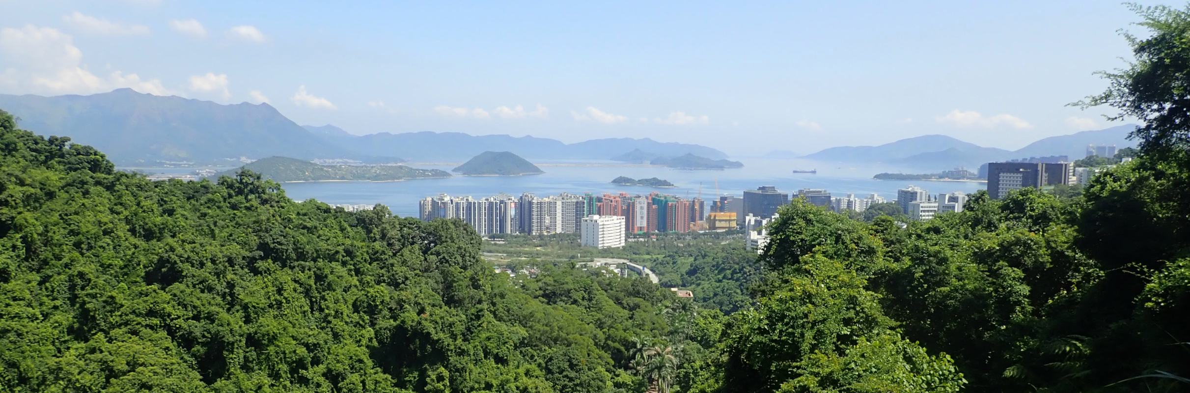
A good break while looking down towards Tai Po,
as well as across the small bay where we live, the University and
the Hunch Backs behind.
I left the summit around 1215 and moved reasonably quickly back to the bushy trail. There, I decided
to explore if following the bigger trail could provide an alternative (and better) route. Unfortunately,
the trail got progressively worse and I finally decided to turn around and stick with my uphill
route. This detour likely wasted about 15 minutes. I returned home in 1:24 as measured from the
summit, using my brand new Garmin Forerunner 245 for the first time.
Resources: