Location: North 59:38.361, East 005:41.832 (GPS on the summit)
Difficulty: YDS 2+ (my route)
Climbed January 21. 2006.
Information:
How to get there:
From Bergen, head south along E-39, direction Stavanger.
After about 35 minutes you reach the ferry crossing Halhjem,
this ferry takes about 55 minutes and leaves on the hour, sometimes
also every 30 minutes (daytime). The ferry cost just a bit less than 200 NOK
for a car and driver (2006).
From Sandvikvåg where you leave the
ferry, continue south on E-39 along the east coast of the island Stord, the reconnect
with the mainland crossing a bridge and passing through a deep subsea tunnel.
The toll for this crossing is about NOK 150. Continue along E-39 to the intersection
with E-134 coming from the east. Make a left (eastward) and drive E-134 to
Ølsvåg, this is 4 kilometer before Ølen, just where you get
to the fjord. Turn left here, the sign says Utbjoa. This turn is just before
a Statoil gas station on the left hand side. The distance from Sandvikvåg
to this intersection is approximately 97 kilometer.
Drive 13.5 kilometer on this road, just before a few houses where the road curves gently
right, there is a forest road that forks sharply left across the nearby field. I parked here
(do not block access), the elevation is 57 meter and the location is N59:39.511, E005:40.178.
See Arnt's description (navigate to Norwegian mountains then
Rogaland) for what is clearly a better trailhead, in particular in summer. The trailhead
described above is just a point of access from where one might climb this mountain, there
is no trail. The hillside is steep and full of trees. Route description:
Follow the forest road across the first field, then gently uphill towards the steeper slopes above.
Unfortunately, the road ends rather soon, in fact, much sooner than indicated on the map.
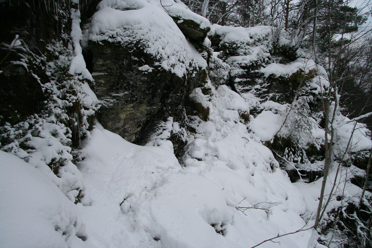
Continue straight uphill in dense forest until you hit the base of vertical cliffs above you.
Traverse below until you find a spot to climb that suits your ability. One can likely go left or right,
I went right and soon discovered a suitable passage that got me above the cliff band.
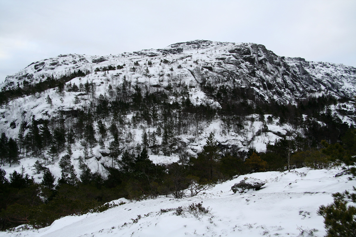
Continue uphill among trees and reach the small Husafjellet, elevation 366 meter. I contoured just below
the summit at elevation 352 meter, coordinates N59:38.962, E005:40.433.
Cross the shallow col and find your way among a few more cliffs, up the NW ridge towards Nuten, elevation
689 meter. I observed a few rocks with red paint marking a trail in this area, but there was no way to
follow these with the winter conditions I had. See the trail description by Arnt referenced above.
Contour left (east) of the Nuten point and head across another shallow drainage to Gråhorga. There
are cliffs that can be avoided by keeping north, then climb Gråhorga up its broad, north summit ridge. Comments:
I left Bergen at 0615, made the 0700 ferry and started hiking at 1000. I started, perhaps somewhat
optimistic, on skis, but only to the end of the short forest road. I then tried to carry the skis up through
the forest, thinking that they would be useful above the treeline. However, the hill was cumbersome and I quickly
decided to leave the skis behind. The snow got gradually deeper and by the time I reached Husafjellet, the time
was 1100 and the snow more than one meter deep.
I was now making a deep trench with significant struggle, in the next hour I covered perhaps another 400 meter
only. It was evident that unless the conditions improved dramatically, I would have to turn around.
An evening party in Bergen called for the 1700 ferry to be the absolutely last option. This in turn, meant
that I should turn around no later than 1315.
Fortunately, my hope for improved conditions was answered. Higher up, I located a ridge with less snow, but
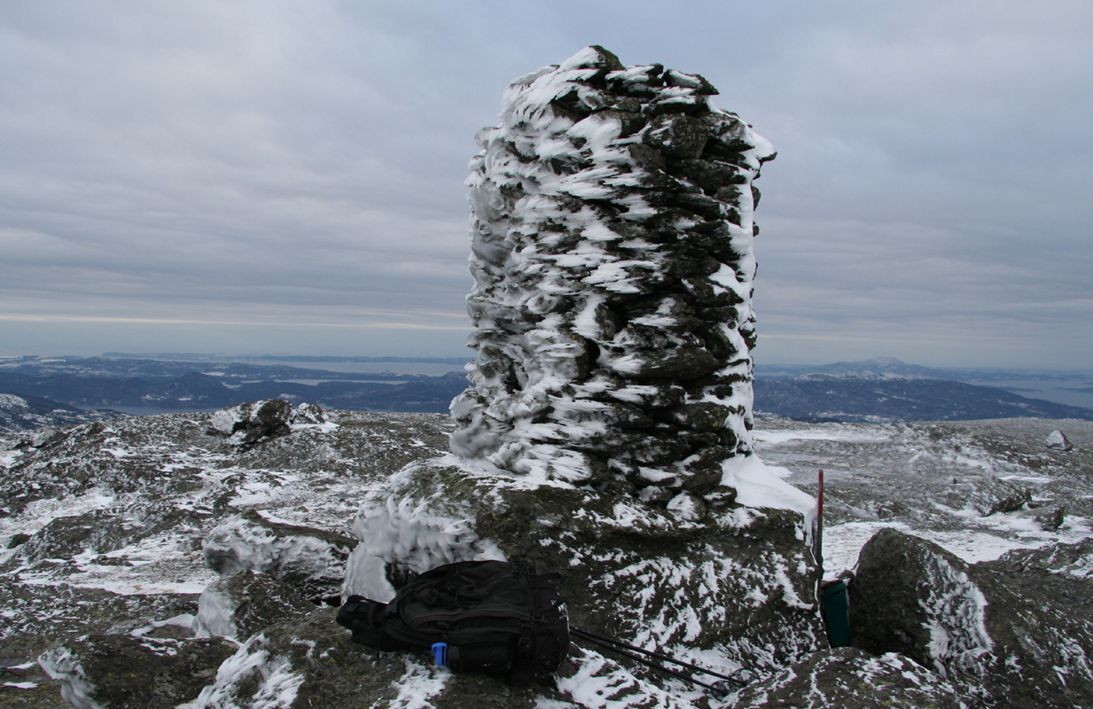
more ice. This was still an incredible improvement and I arrived at the impressive summit cairn at 1240.
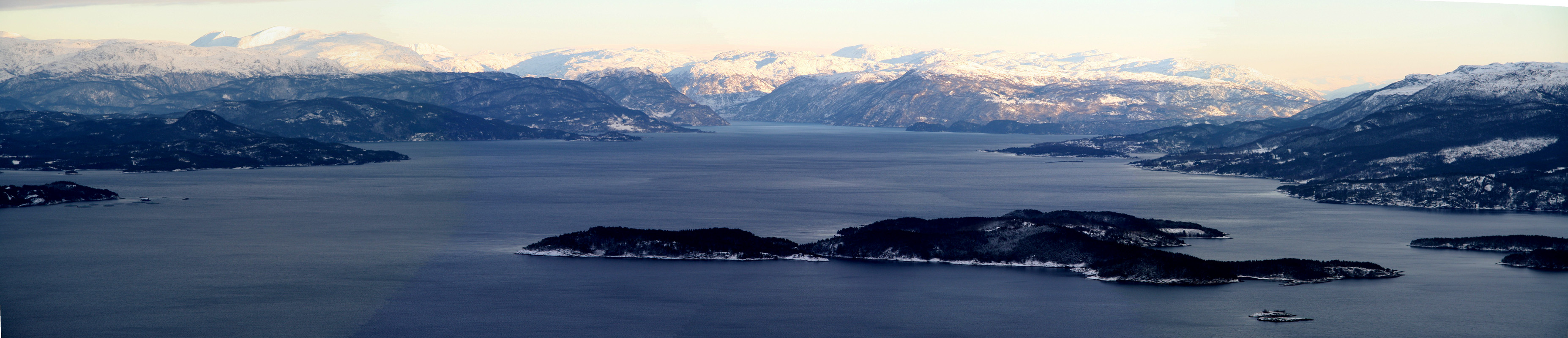
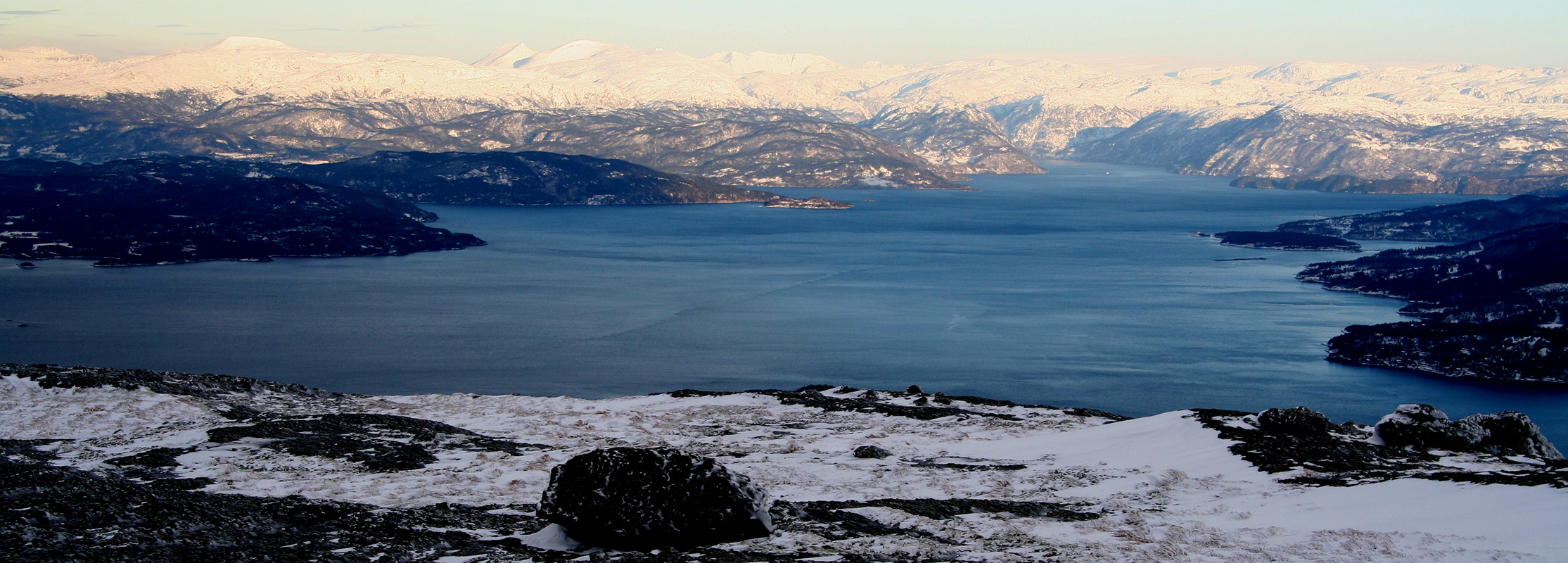
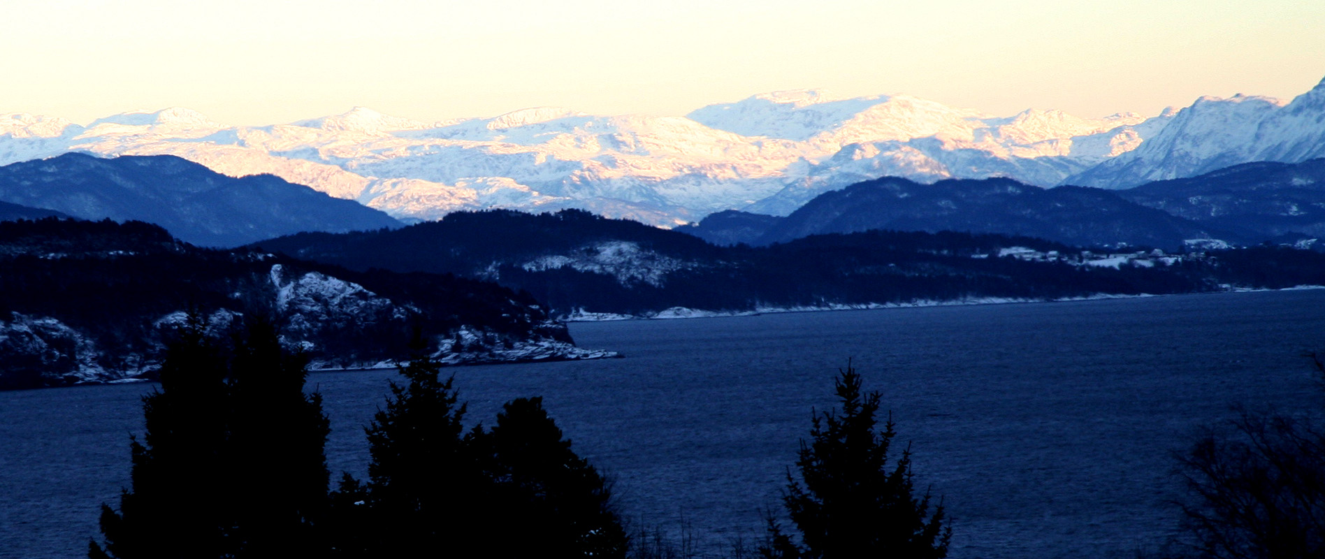
Nice views all around, the sun was hitting the peaks further inland, while the coastal area, including
Gråhorga had a high cloud cover. I took a few pictures, looked around, then headed back down around 1250 since I
wanted to play it safe with respect to my return time. It turned out that my struggle uphill simplified
the descent considerably. I was back at the car already at 1400, thus making the 1600 ferry back to Halhjem
and Bergen.