How to get there:
One may start from the north (Bergsdalen), however, I started from Vaksdal,
closer to Bergen.
Drive E-16 from Bergen towards Voss. Exit (right) to Vaksdal, this is
immediately after a more than 2 kilometer long tunnel. Turn left and follow
the road up the main valley. Pay attention as you want to turn right (across
a bridge on a very narrow road) where the sign says Herfindal. Carefully
drive this small road into the very narrow valley. Just before the road
starts uphill with hairpin curves, a fork right gets you to a parking area
near a local hydroelectric powerplant. The uphill road has a sign saying
"not plowed in winter". If the road is unplowed (no signs of car traffic),
then drive down right and park there, location N60.47629, E005.77726, at elevation
about 200 meter.
Route:
Ski uphill on the summer road, higher up, the road continues more
levl into the valley and the old farm houses. Continue down a steep hill
to the right, then further in the valley and more uphill. You will arrive
at a fork where the summer trail climbs left while the snow-scooter
track turns right and downhill. It is perfectly ok to ski up the summer trail,
it is a bit steep, but plenty wide enough to be skied.
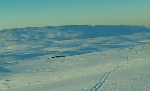
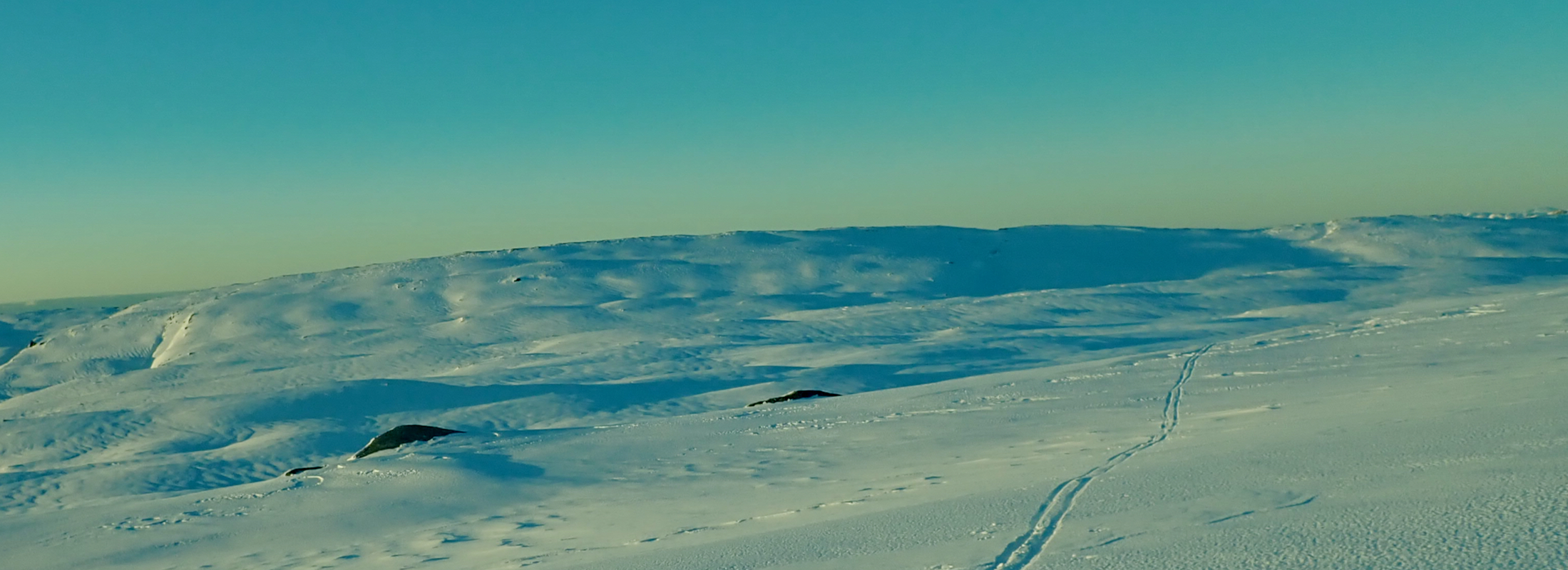
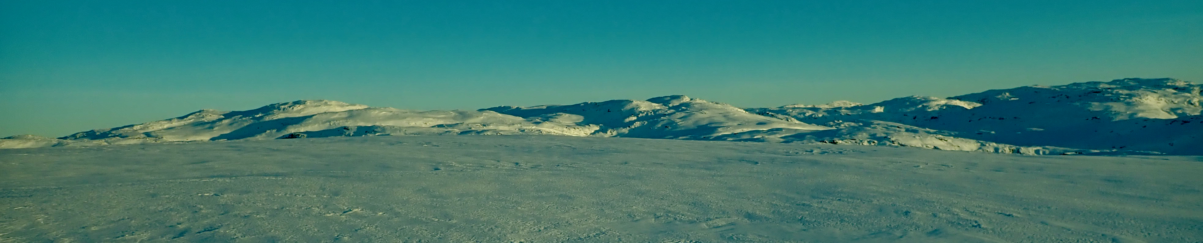
As you finish the steep uphill section, the route contours around left while
staying on top of the cliffs below. You now enter a pretty flat and wide
valley called Budalen. Ski directly in and across towards the steeper hillside
in front in order to get this slope on your left hand side. Continue up the
valley with the bigger hillside up on the left. There is a small
waterfall that may be easily passed on the left side. Higher up, the valley
becomes quite narrow, but it is nice to ski all the way until one
exits at the top end. From here, continue in the same direction as you
traverse a pretty gentle slope. Further ahead, turn left where the terrain
naturally permits this.
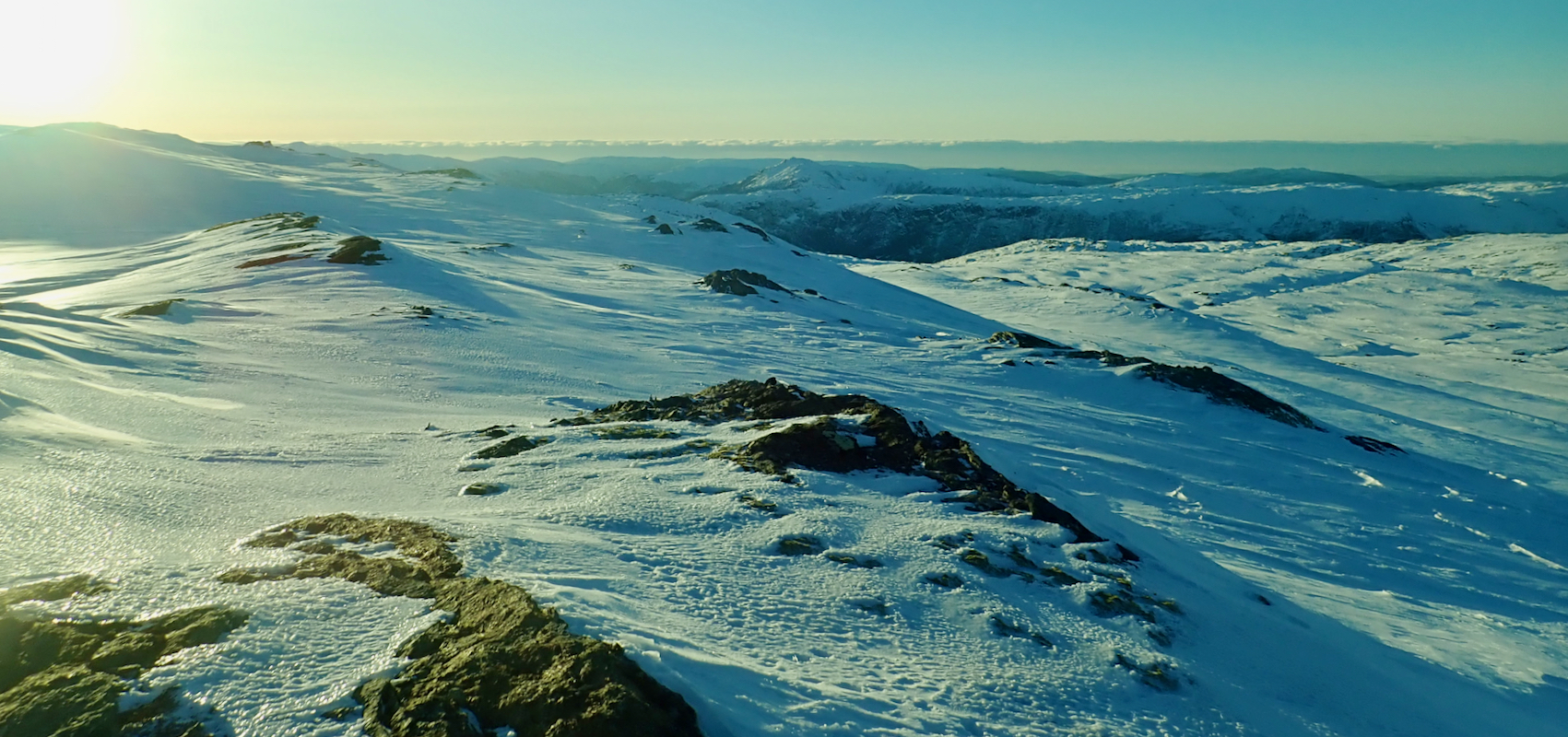
Cross the very gentle slope south
of Knuskedalsfjellet (928m), then ski north
aiming for a point roughly 1 kilometer north of the Gløveret summit.
A more direct line will get you to cliffs that run across your direction of
travel and one must go more north anyway.
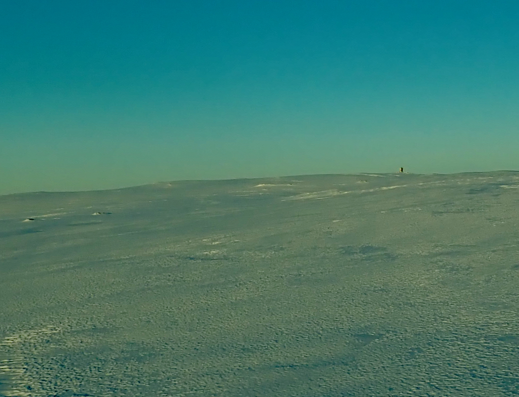
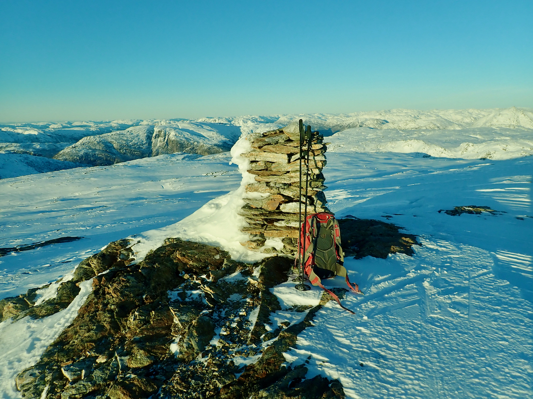
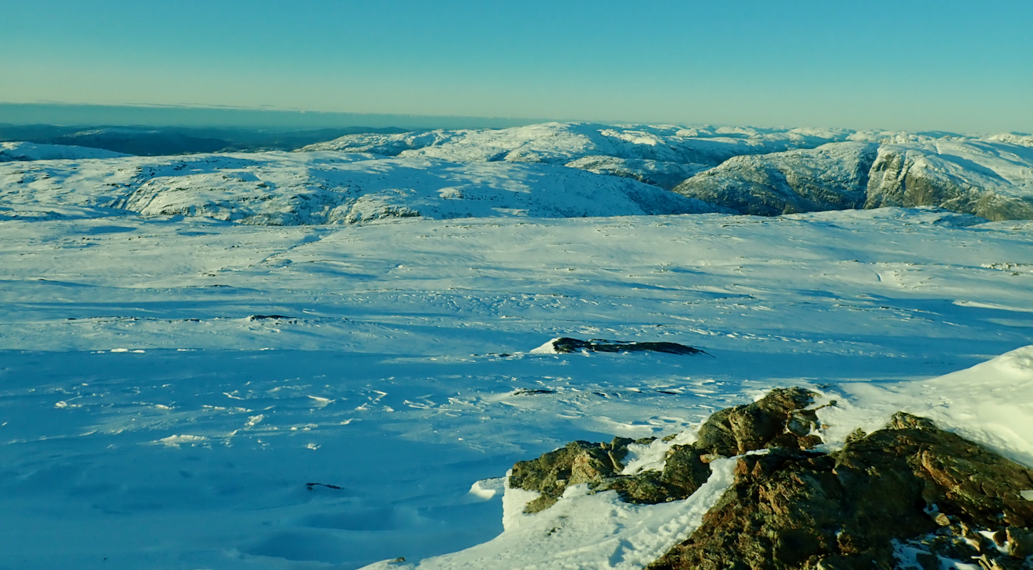
Once at the bottom of the slope/ridge to Gløveret, ascend along easy
terrain. The cairn is,
unfortunately, placed about 200 meter away from
the highest point. The terrain is essentially flat, but the high point is
a few meter higher.
Comments:
Beautiful day. I drove to the trailhead near Vaksdal, then decided to try
driving the farm road. This is steep and narrow having cliffs and hairpin curves.
A farm tractor had driven there and the tracks were a bit deeper than my car clearance,
however, I got to the first farm and parked there, elevation about 350 meter.
Leaving shortly after 1130, I skied the same route as to Knuskedalsfjellet, but followed
the ski tracks and ascended along the cairned summer trail staying east of the valley.
Crossing back west, I ascended easy slopes south of Knuskedalsfjellet and then took a direct
line towards the summit of Gløveret.
This turned out to be optimistic as there
are several cliff bands running across such a course. Thus, I was forced to ski more
north before making my final ascent.
Arriving at the Gløveret summit area around 1430, having used 3 hours, I realized
that the return ski better be substantially faster or I would run into evening
conditions (it gets dark around 1630 at this time of year.).
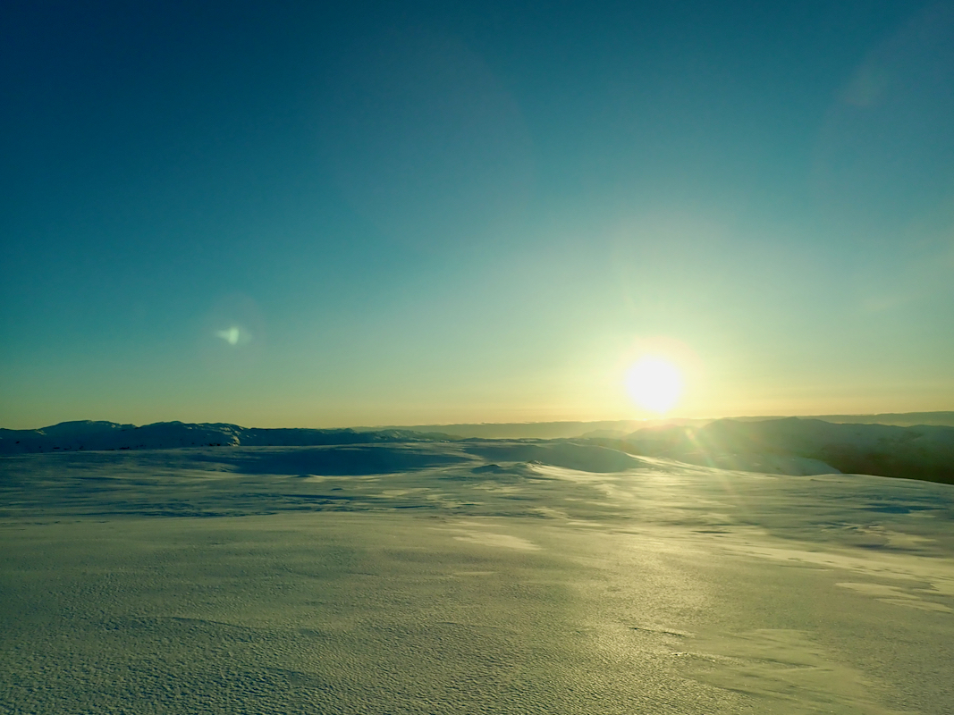
The skiing back was
easy, a nice sunset
and I indeed returned to my car by 1620.