Location: North 64.41472, East 012.21278 (GPS on the summit)
Climbed July 5. 2020
Difficulty: YDS class 1
Information:
How to get there:
Locate the village of Grong, on Hwy. E-6, about 150 kilometer
north of Trondheim. Turn off into Grong and locate the road
7040 heading west on the south side of the (big) river Namsen.
Drive this road about 6 kilometer from the center of Grong.
You should see a trail sign on your left and a small spot where
one may park just ahead on the right hand side.
This location is N64.44710, E012.20191, elevation about 60 meter.
Route:
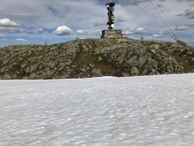
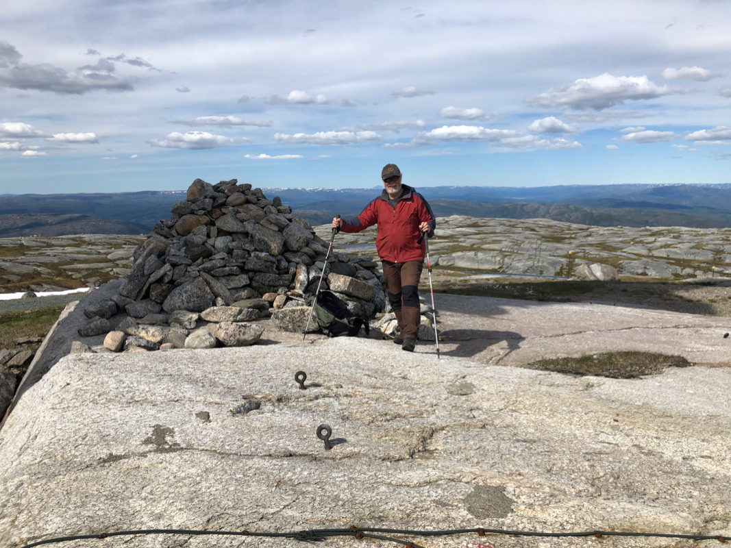
Follow this trail uphill to the summit. The summit cairn is just left
of a building with a large communication tower.
Comments:
I did this hike with my friend Jostein. We left his house in Trondheim
in the morning and started hiking at 1210.
A very relaxed walk with numerous brief stops
got us to the summit in 3 hours.
We stayed around about 20 minutes. I also went across to a nearby summit point
that had the same highest (860m) contour. However, this small ridge is clearly lower.
We returned back down to the car in about 2 hours.
Thanks to Jostein for good company on a nice afetrnoon hike.