Location: North 60.09047, East 005.89739 (GPS on the summit)
Climbed November 4. 2017
Difficulty: YDS class 2
Information:
How to get there:
Locate Gjermundshamn on the west side of the Hardangrfjord. This small village
serves the ferry that crosses the fjord to serve Rosendal. From Bergen, one
may drive Hwy. E-16 to Trengereid, Hwy. 7 past Samnangr, then Hwy. 48 to Mundheim
and finally Hwy. 49 south towards Gjermundshamn.
You should locate a forest road that runs uphill (right if you are driving south
towards Gjermundshamn) about 2.5 kilometer before (north) of Gjermundshamn. This is
near Grønevika. This road is closed by a gate, but there is parking for
1-2 cars on the right hand side off the road, just before the gate.
This location is N60.08656, E005.91253, elevation about 40 meter.
Route:
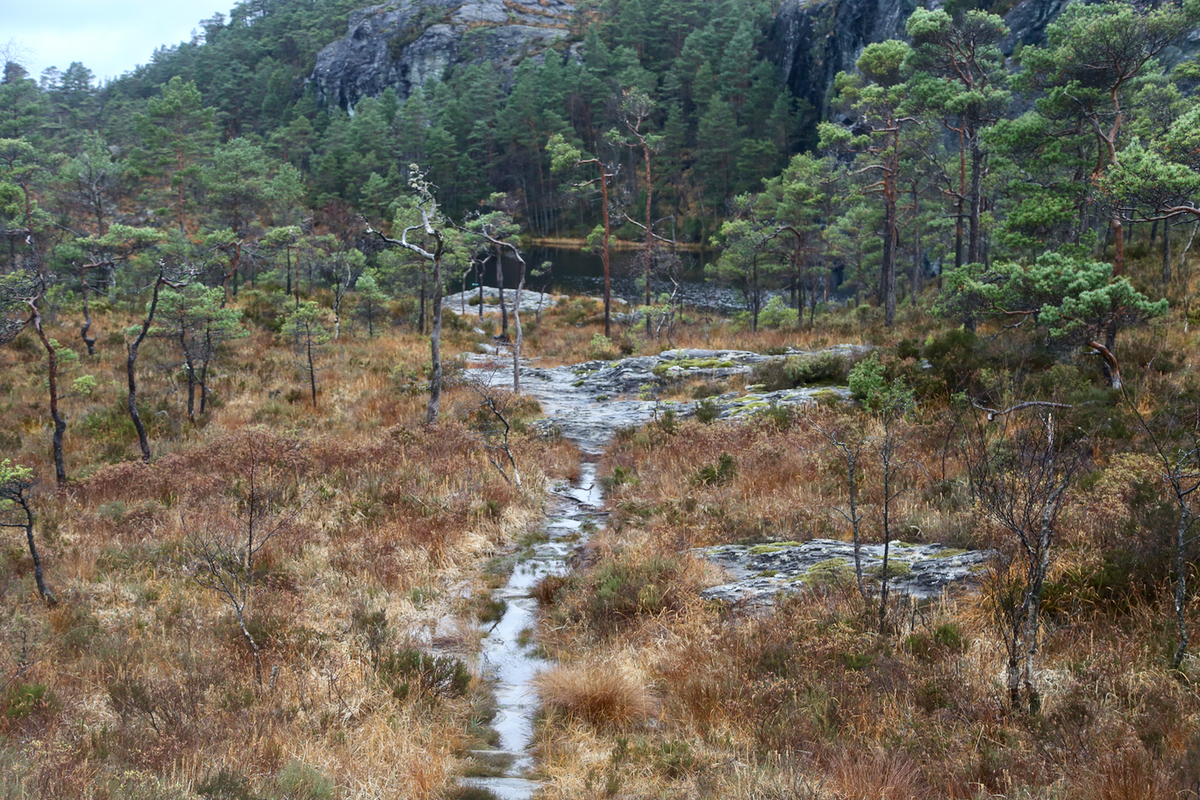
Hike along the road. Quite soon, you will pass a small creek and see a
trail that heads uphill to your right. If you cross a second creek
you have gone too far. Follow this small, but pretty distinct trail as it
zig-zags and gains elevation before topping out where it again
connects with the forest road. Thus, this trail serves as a significant
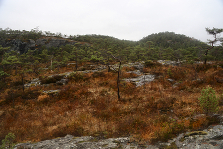
short-cut. Continue uphill along a pretty rough track that eventually
shrinks to a trail. This trail runs to the
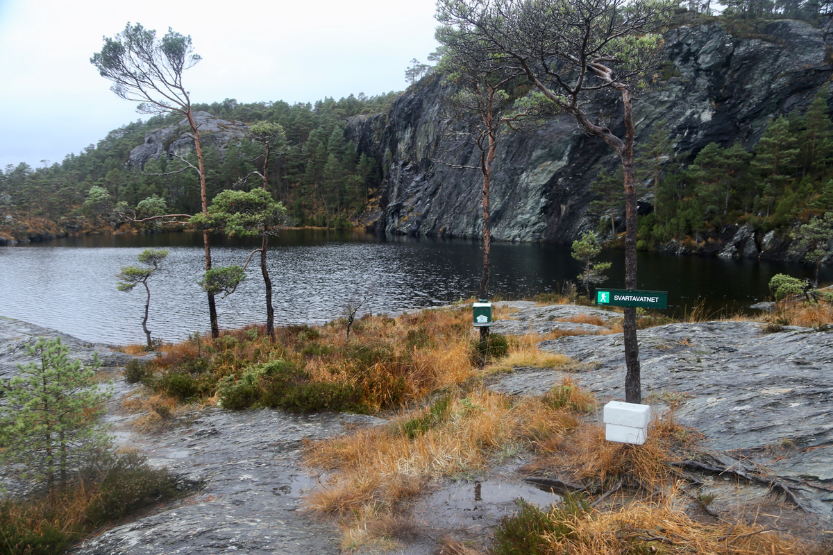
small lake Svartavatnet.
From here, you see the Geitaknottane
hills off to your right.
Hike right along the lake, you should pick up a very small trail, most
likely formed by hikers that wanted to climb this hill. This trail first
climbs the lower hill at location
N60.09008, E005.90104, elevation about 308 meter.
This is a bit
west of the highest point, however, it is easy to
follow a track from there
to the highest point. Comments:
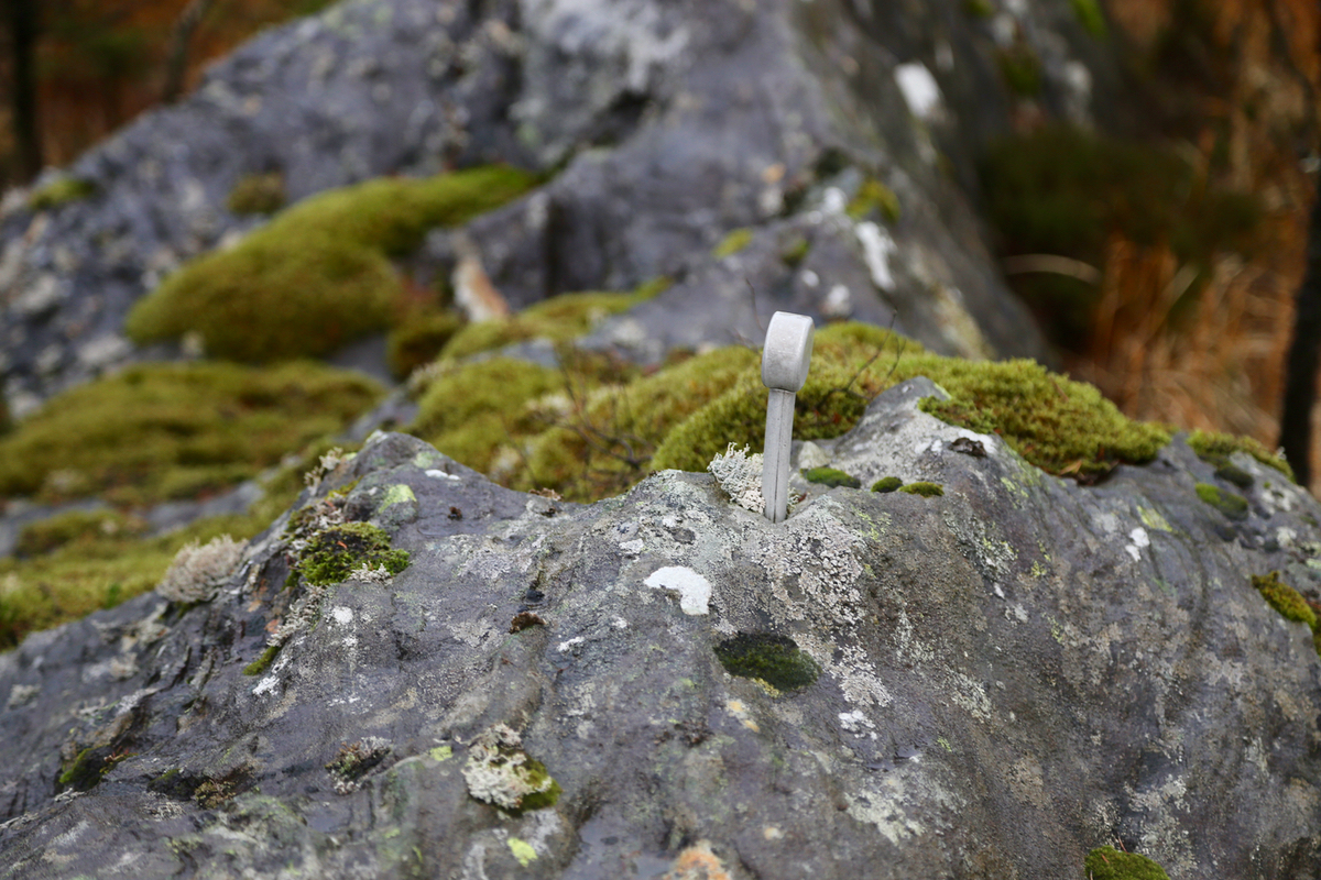
I left my car at 0900 and had a nice hike up to the first summit area, arriving there
around 0940. A bolt marked the high point
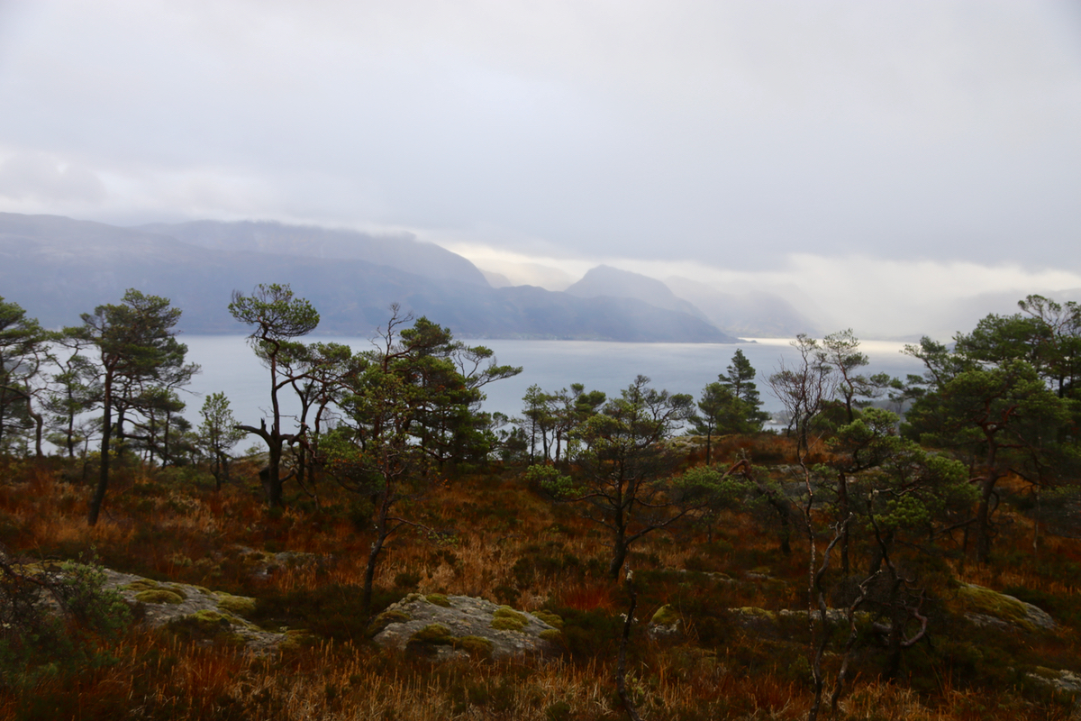
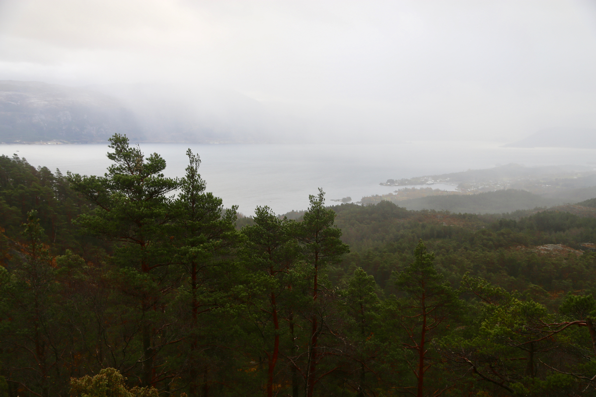
and the view of the Hardangerfjord was good.
It was, however, obvious that this was not the highest point, so I hiked over there
arriving around 0950. One could still enjoy a view to the fjord.
I left at 1000 and hiked back
down to the trailhead in about 50 minutes.