Location: North 63:03.075, East 007:45.610 (GPS at the summit)
Difficulty: YDS class 2.
Climbed August 27. 2006.
Information:
How to get there:
From Kristiansund, drive the main Hwy. in the direction Sunndal. You cross
the bridge to the island Frei and continue until you have lake Bolgvatnet on your
right hand side. Approximately one kilometer after you leave this lake there is a small access road
going right, to the downhill ski area. This road is closed to traffic. This
is the trailhead, location N63:02.983, E007:47.031, elevation 80 meter.
Route description:
Head up the small accessroad and arrive at the base of the skilift. From here,
take the trail that runs up the (ski)hill along its right side. As you near the
top of the ski slope, this trail forks right, crosses a small section of forest and
heads steeply uphill. Continue all the way to the summit of Freikollen. There are
a number of (minor) variations of this route. The trail is generally quite steep in
shorter sections and some (very easy) light scrambling may be required depending on
your choice of trail.
Comments:
After a very good weekend with my friend Arnt, climbing Tustnastabbene, four
mountains on the islands Tustna and Stabblandet, Arnt dropped me in the center of
Kristiansund, then headed back down to his home in Ålesund. I had a (well deserved!)
dinner in town, then took a taxi to the airport in order to fly back home to Bergen around 2000.
However, the airline (SAS!) informed me that they had cancelled my flight and that there were
no alternative options, not even from Molde. This was extremely bad news indeed, as I have
students in the auditorium waiting for my lecture at 0815 on Monday mornings. In any case, the
short term option was the Rica hotel in Kristiansund.
I called Arnt, to check his progress and inform him about my situation. He immediately told
me that this "misfortune" could be used to climb Freikollen, a nearby Major (prominence exceeding
600 meter) mountain. Just as if we had not already walked all day and climbed about 1700 vertical
meter. A pretty crazy idea, but when Arnt insists, there is little one can do but obey.
I took a taxi from the airport to the trailhead and agreed that I could call the same taxi about
15 minutes before I needed return transport to the city.
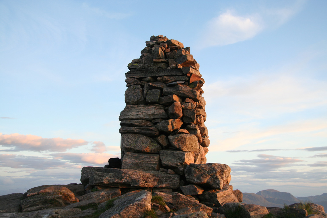
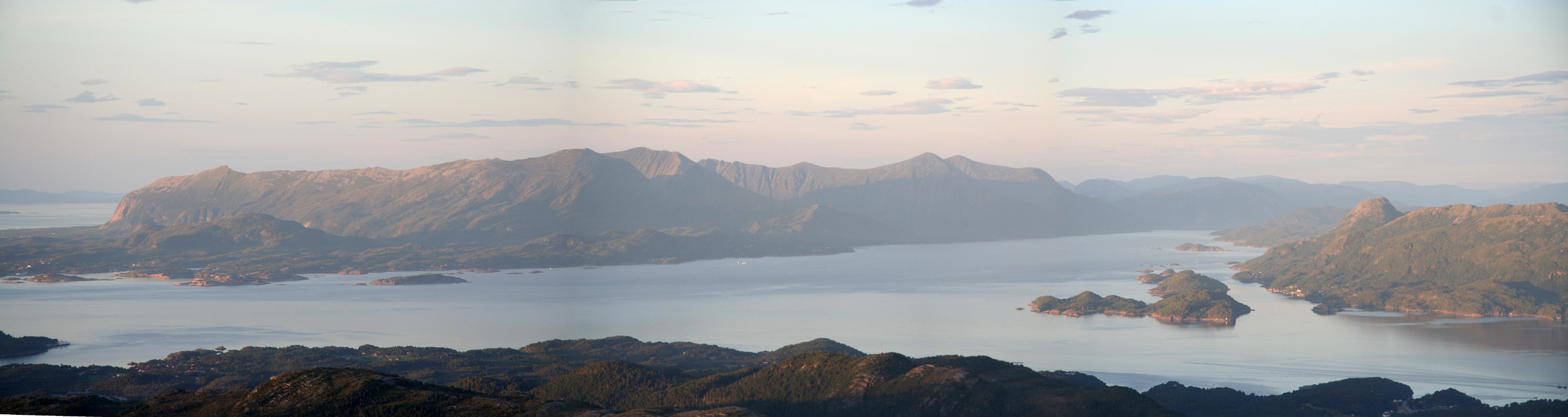
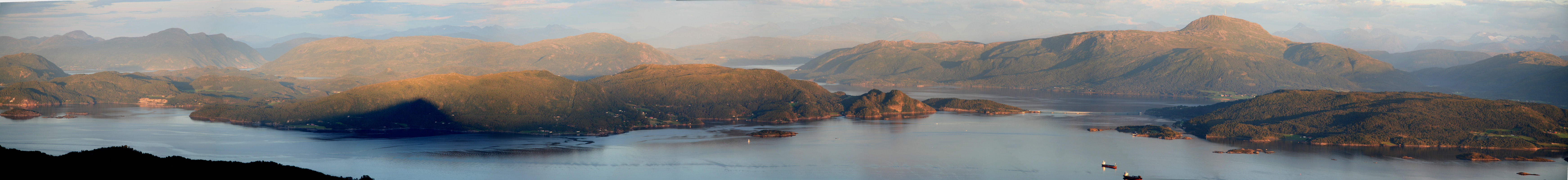
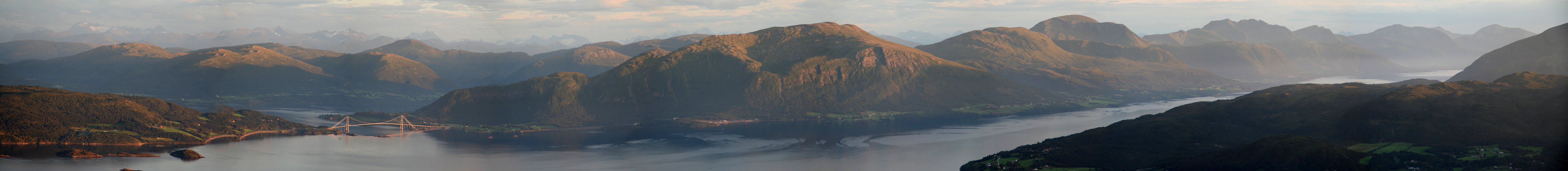
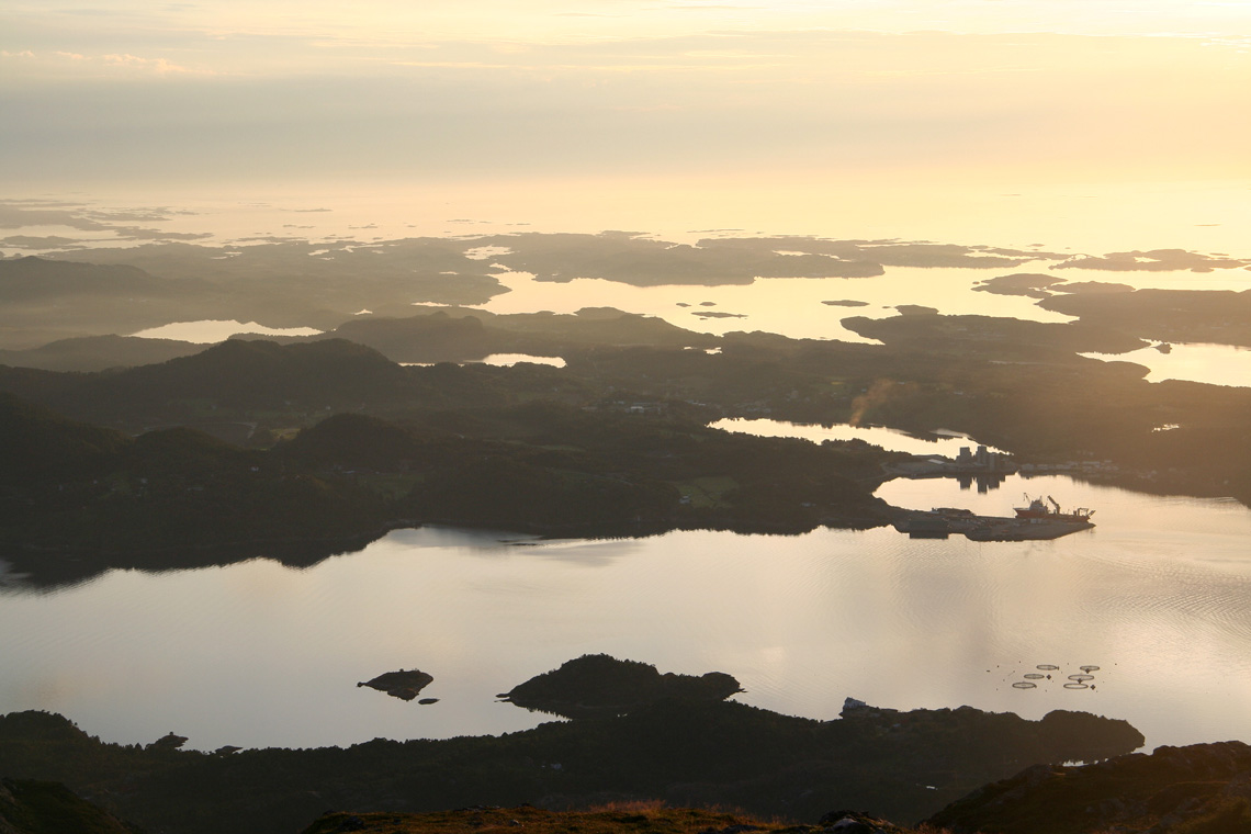
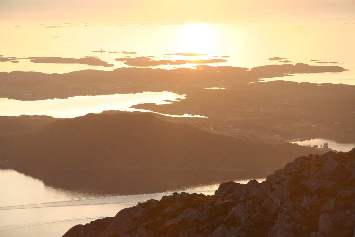
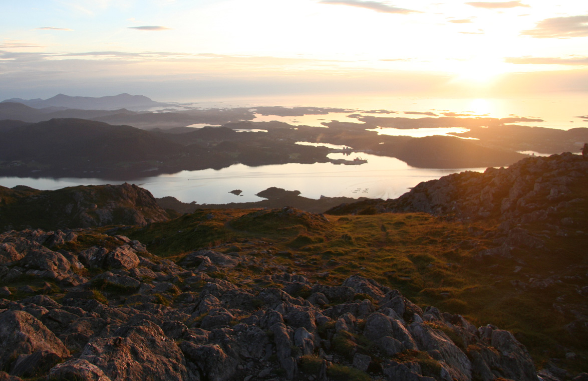
I climbed this mountain solo, starting out around 1940. The sun was still shining as I hit the
summit about 45 minutes after leaving the trailhead. I spent about 15 minutes at the top with a very
nice evening light, the sun about to sink in the Atlantic. A gentle descent, where I to my surprise met
two other late parties heading uphill. I called my taxi from the top of the ski slope and saw him
pull in just as I walked down the final small access road.
This ended a busy day, 3 peaks and more than 2200 vertical meter.