How to get there:
Locate Hwy 41 going south from E-134 at a small place called Brunkeberg.
Take 41 south going across a pass and then to lake Nisser.
Keep left when arriving at this lake, continue to follow Hwy. 41 for about
6 more kilometer. Fork left onto hwy. 38 signed for Drangedal. Drive this
road about 3.5 kilometer, then find parking on your
left at location N59.26075, E008.57156, elevation near 370 meter.
This is shortly before the road passes through a cut in the rocks.
Route:
Continue about 100 meter (uphill) along the Hwy. Before the
road cuts through a section of rock, you will find the beginning of
the trail, with a sign posted. The route is well marked with blue painted
dots, mainly on the rock.
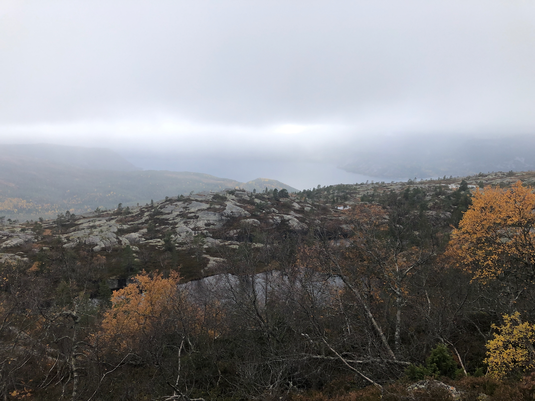
This route runs most of the way on bare rock, sloping uphill and quite bit of
this rock is also quite smooth. It is strongly advised to use shoes or boots with
good friction soles. In dry weather, there should really not be any problem. Follow
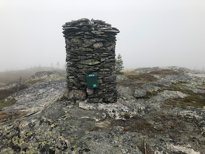
this well marked route all the way to the summit cairn.
Comments:
This was myn second peak of the day. It had taken me considerably longer to drive
across from my previous trailhead (not far from the village Bø), than I sort of
had hoped. Rain was forecasted for late afternoon and I wanted to complete this climb
before the rain if at all possible.
I had 2 pairs of mountain boots, all wet from previous hikes. Thus, I decided to use a pair
of running shoes with studs. I sort of guessed that such an uphill trail would be fairly dry
and that the studs might help with good grip and friction.
This turned out to be very wrong indeed. The studs work well on almost all surfaces
except hard, smooth rock. Here, the danger of sudden slips and skidding is definitely present.
I started at 1440, and the wind picked up as I got higher. The clouds coming in from
the west looked omnious.
I was convinced that rain would hit me, but hopefully not before
I reached the summit. The rock slopes were steeper than I could safely handle with my
studded shoes in several shorter sections. Fortunately, there were bypass options with
safer terrain. I made the summit in
exactly one hour. Still no rain.
After slightly less than 10 minutes, I started my descent. The rain never came and
the clouds looked more friendly. Another hour back down to the car.