Location: North N60.88921, East 005.44553 (GPS on the summit)
Difficulty: YDS class 2
Climbed: November 4. 2021
Information:
How to get there:
Drive E-39 north from Bergen. As the road heads inland in Romarheim, you pass
Hwy. 569 serving Modalen and connecting to E-16 near Dale. From here, continue
north on E-39 about 5.4 kilometer, locate the exit right to Dyrkollebotn. Take
this road, when you get to the lake, continue right on a small, but good dirt road.
When you get to the north side of the lake, park on the left just before a small
bridge. This is location N60.80048, E005.63937, elevation near 350 meter.
Route description:
Cross the bridge and walk almost straight ahead between the houses. You should find
a small trail marked with red paint and small sticks. This trail heads uphill about
50 meter (to near the 400 meter contour), then swings left and sort of contours around
the steep, lower part of the main ridge. Make sure not to loose this trail, in a few
places it may be difficult to see where it runs. As soon as you are on the west side
of the main ridge, pay attention since the place where the route turns right and
heads directly uphill, is poorly marked. Ascend steeply, the route heads a bit right, then
gains the main ridge. From here, follow the natural route up the ridge, staying more
or less close to the crest. There are minor trails established by hikers most of
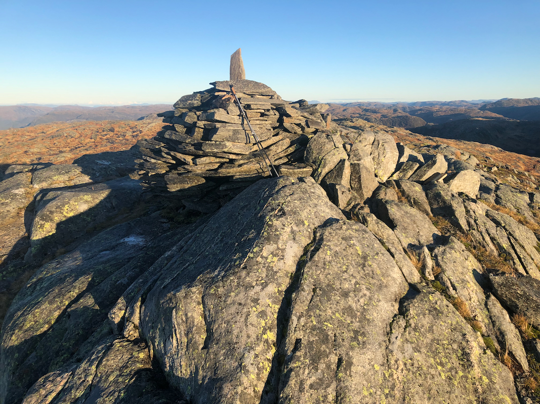
the way. The summit is well marked by a pretty large cairn. Comments:
I left Bergen early in order to make use of the limited daylight. Parking at the
trailhead by 0745, I was ready to leave at 0750. In the first hillside, just above
the houses, I lost the trail once, going right instead of left. I quickly understood
the mistake and followed the route
from here to the summit without any further issues.
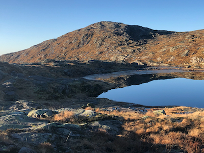
Arriving at 0925, the sun was up and blue sky everywhere. A really nice day. I rested
5 minutes, then continued
towards Godbotsfjellet.