Location: North 36.05204, East 014.21320 (GPS on the summit)
Climbed September 16. 2017
Difficulty: YDS class 2
Information:
How to get there:
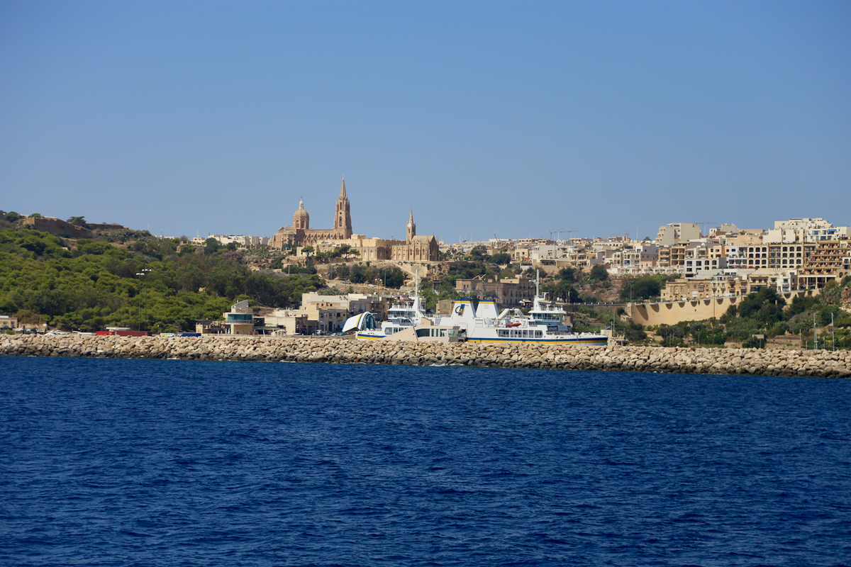
First, travel north to the ferry that connects
the island of Gozo with the main island.
This ferry rus frequently and cost about Euro 15 (2007) for a round-trip.
You only pay on the return trip.
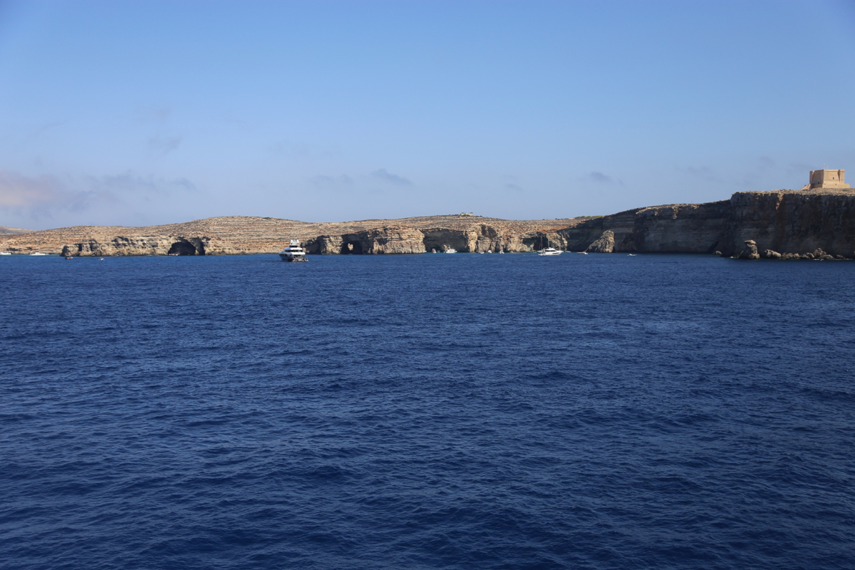
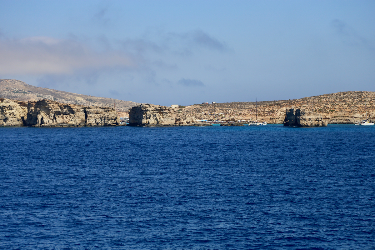
The ferry runs by a smaller island, Kemmuna, well
known for its Blue lagoon, popular
among tourists.
From the harbour town,
drive north-west via the city of Victoria. In a while, you will see the hill up front on
your left. Then, arriving at a road fork, go left. There are more left forks, you want to
take the road that serves Kempinski Hotel. Shortly after the hotel, a small road forks
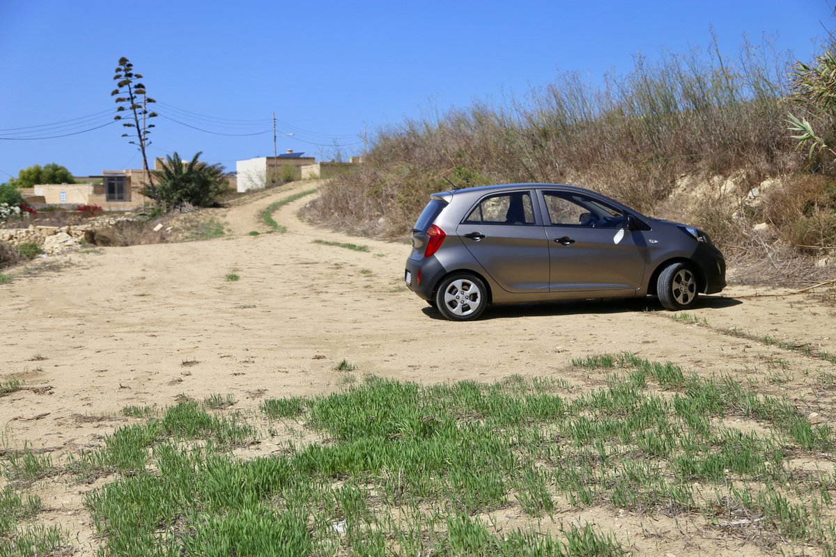
left in the direction of your target. Drive until you have a (large) house on your right,
a short, steep uphill forks left. Drive up this hill to find a
good parking area. This
is location N36.05118, E014.20950, elevation about 130 meter.
Route:
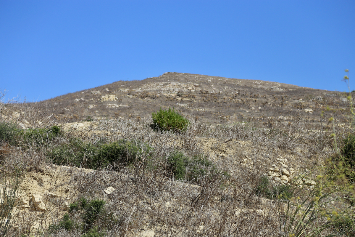
Follow some farmers tracks towards the hill. You may have to traverse some (low) vegetation.
It did not cause problems to do this hike in shorts. The upper part has a small trail.
The summit is a flat plateau with a small cairn. Comments:
After visiting the area of the Malta highpoint, I drove north and took
the ferry to Gozo. After parking, the route to the summit is in clear view.
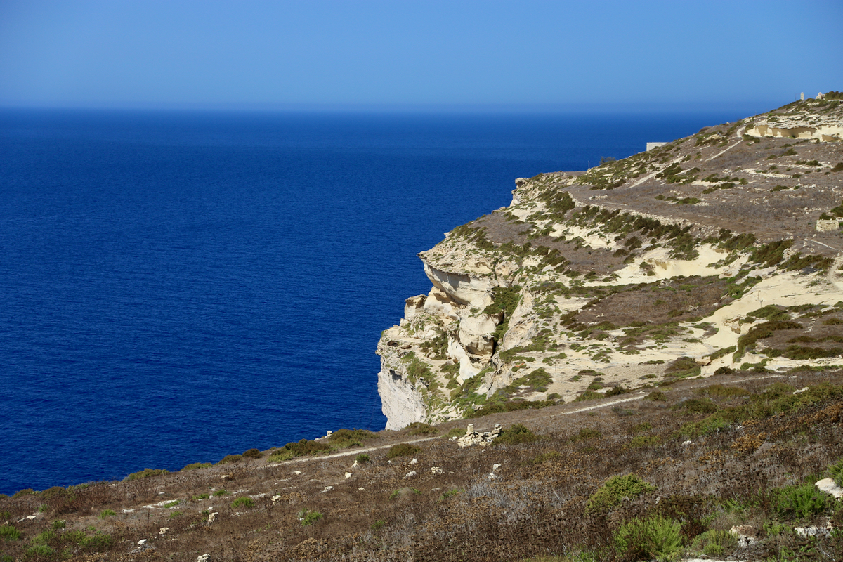
The ascent took about 10 minutes. The view from
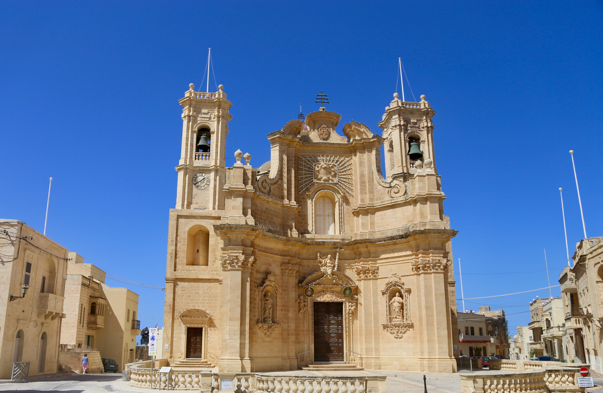
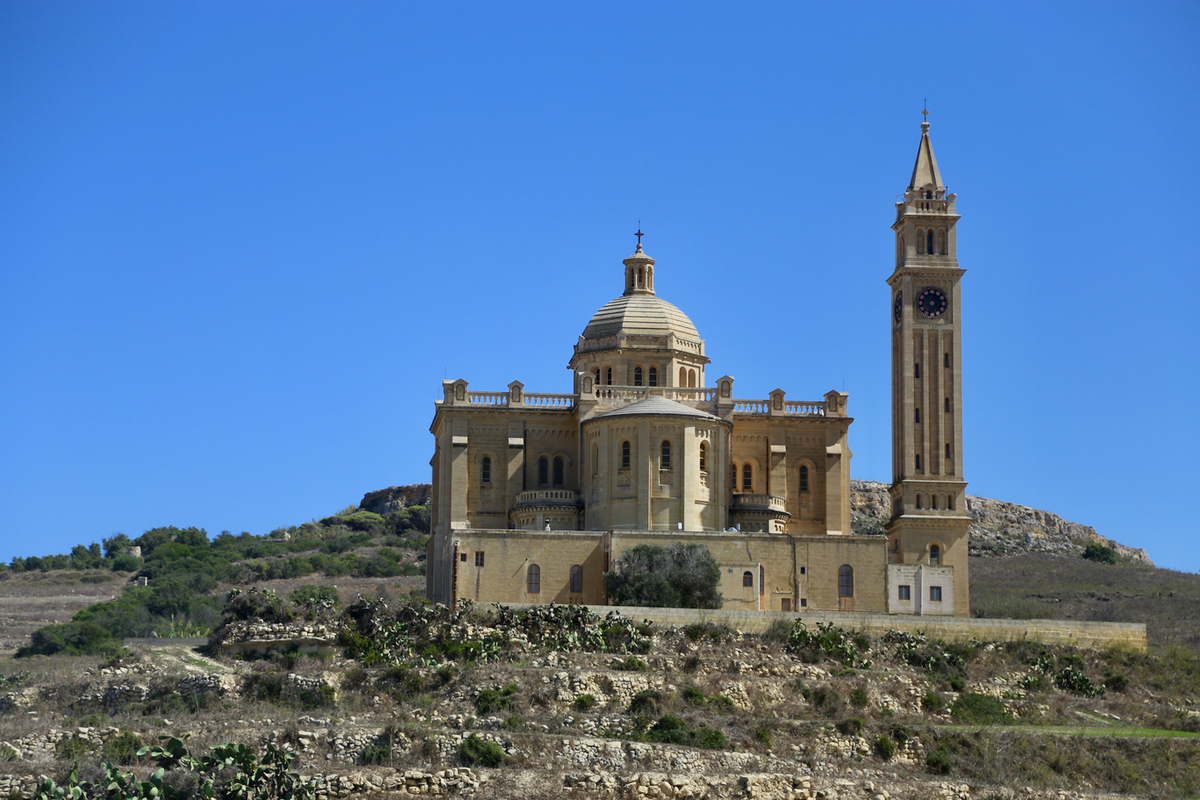
the top is indeed very nice, farming land and sea cliffs as well
as smaller villages and churches.
Descending in another 10 minutes,
left me some time to explore Gozo before returning back
to the main island. I first drove to the northern tip,
small roads that led nowhere.
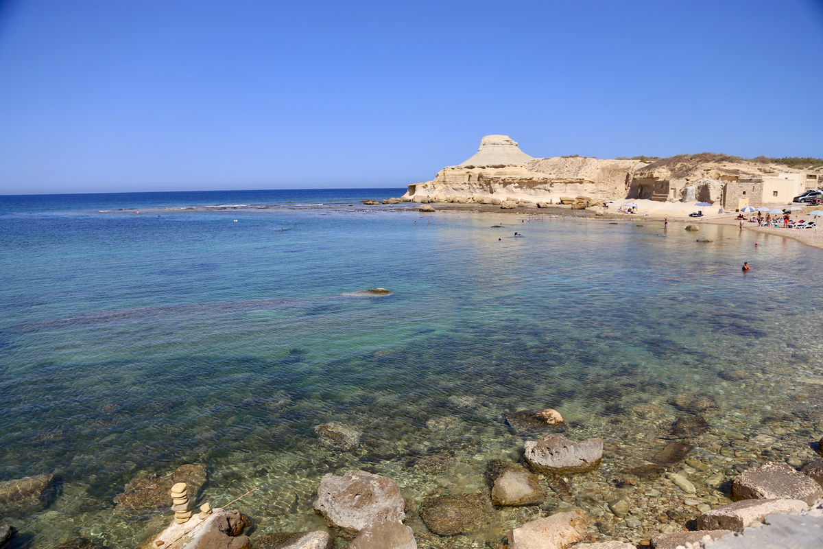
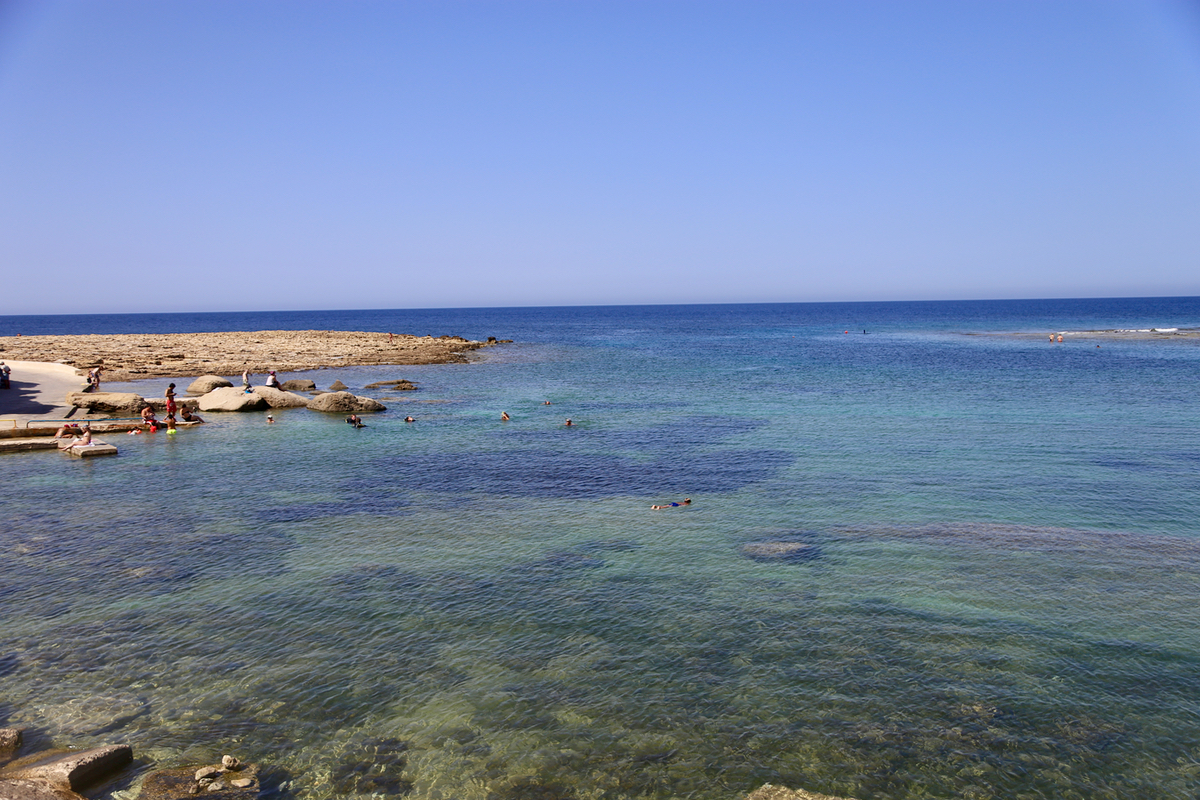
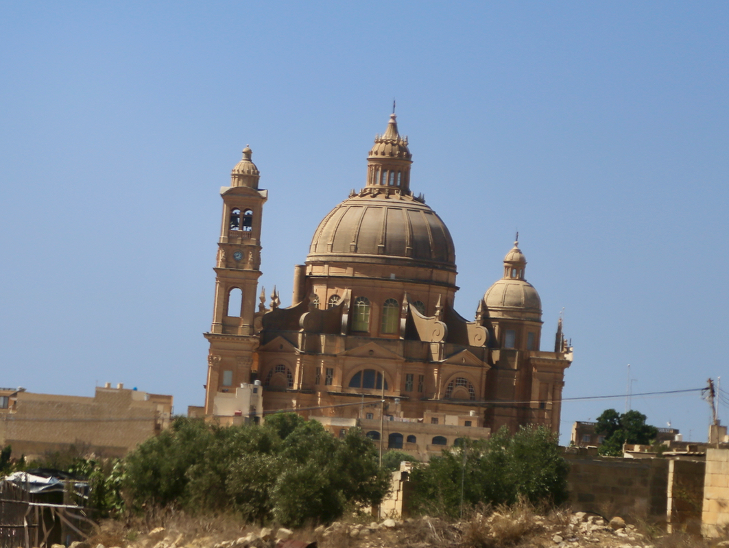
Next, passing more churches,
I drove to Xwejni bay where
I went for a nice swim. This concluded
my day of exploring Malta.
