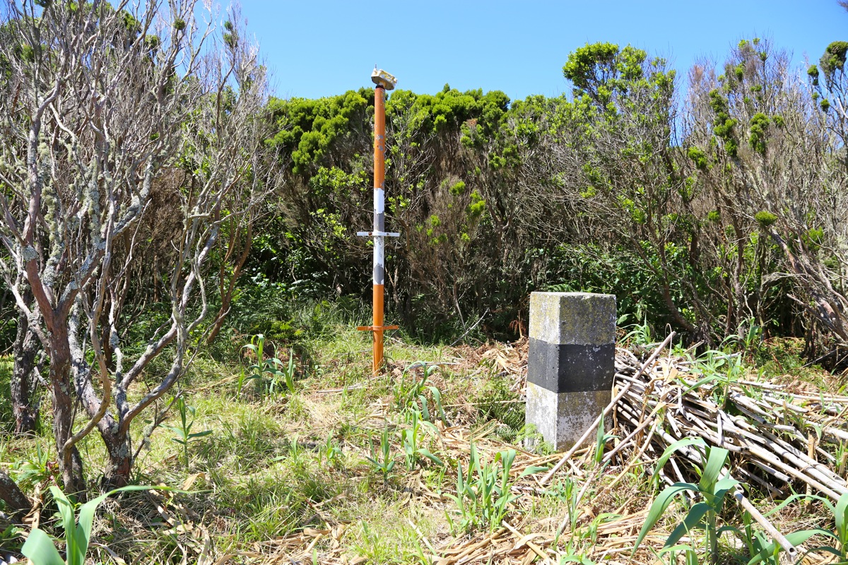
Location: North 38.52338, West 028.75175 (GPS on the summit)
Difficulty: YDS class 2
Climbed: July 20. 2014
Information:
How to get there:
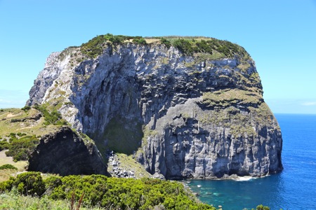
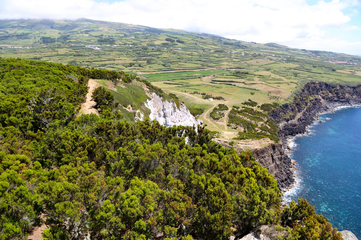
Drive west from Horta and pass the local airport.
Continue a few kilometer, while keeping a look down to
the coast. A small road forks directly left and runs
pretty straight downhill towards the very characteristic
coastal cliff. There is an obvious place to park just shortly
before the connecting saddle.
Route description:
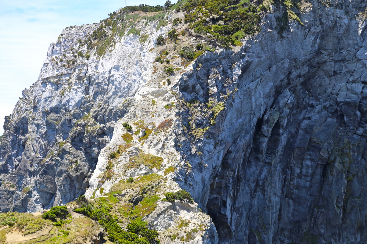
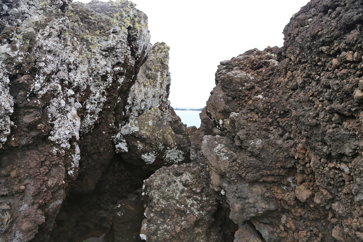
There is a pretty clear trail that first crosses the connecting saddle
then ascends the obvious ridge. The ascent is considerably easier that
what it may look like from the
car parking area. The trail zig-zags in a
fairly well protected route before reaching more level ground.
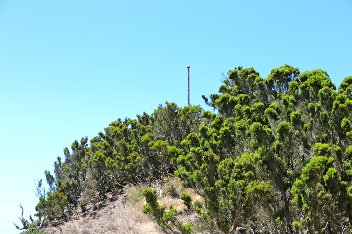
The main trail heads into the forest, then follows the left hand side
of the top to a pole marker.
However, the highest point is across on
the opposite side. In order to get there, do not enter the forest trail,
keep right and cross some slippery grass while following the north side
of the cliff. You will locate a summit marker,
the terrain is pretty
level, but a small hill even further ahead may actually compete for
being the highest point.
Comments:
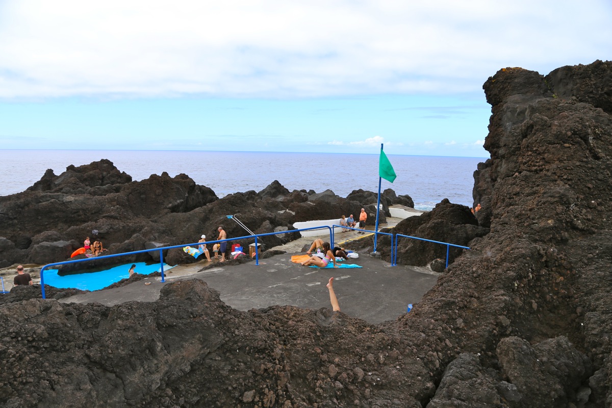
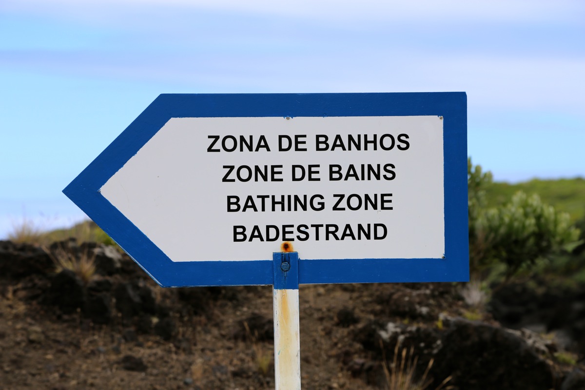
We had visited the Capelinhos volcano, then a small place at the coast with
a swimming area
between volcanic rocks.
Complete with signs in Norwegian as
well as life guard on duty. From here, we
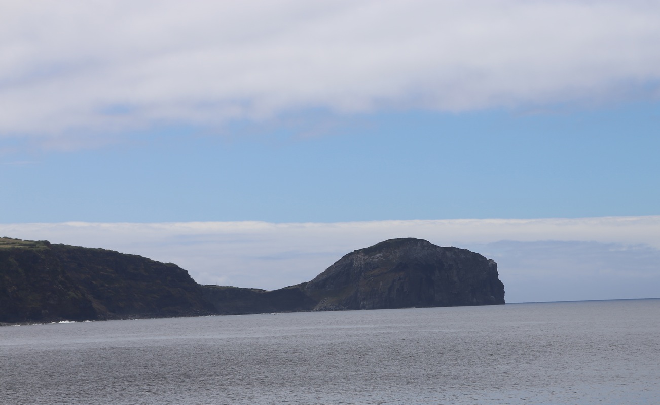
noticed the interesting cliff and
decided to make this our next stop.
I climbed the cliff rather quickly and surveyed the two summit points as well
as the connecting saddle. It seems that this cliff has just about 100 meter
of prominence.