Location: North 60:29.054, East 005:39.087 (GPS at the summit)
Location: On Osterøy island, near Bergen
Climbed December 14. 2003.
Information:
How to get there:
Drive from Bergen along Hwy. E-16, just after the first long tunnel, the Arnanipa tunnel,
you will see the big bridge connecting to Osterøy. Cross the bridge, pay toll
(NOK 49 for a car and a child), and immediately exit right, followed by another right
towards Bruvik. Drive through Bruvik (a church on your right hand) and continue a bit
uphill until there is a signed road intersection. Take the road going left. This road
climbs in several hairpin turns until reaching a more level area, Trollskardet, with a large
parking area on your left. Park here. Route description:
There is a very clear trail starting out at the end of the parking, follow this across a meadow
and uphill along (possibly in) a small creek. As you reach a larger, flat meadow, contour left
and head towards the ridge coming down from the peak. You will soon see some trail markers,
they are yellow sticks or small pieces of plastic attached to a branch of a tree. The trail
crosses a few more smaller meadows as it climbs somewhat to the right in order to gain higher
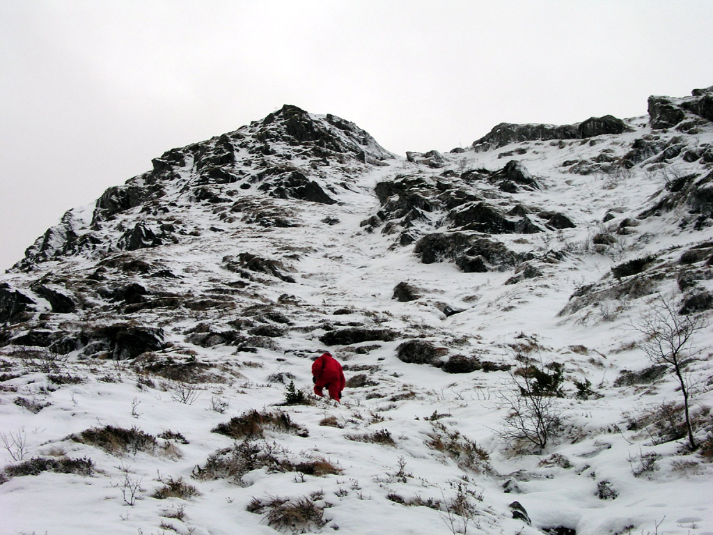
ground. As soon as this first ridge is gained, the trail turns sharply left and heads
directly up a very shallow gully that tops out on the main ridge of Brøknipa.
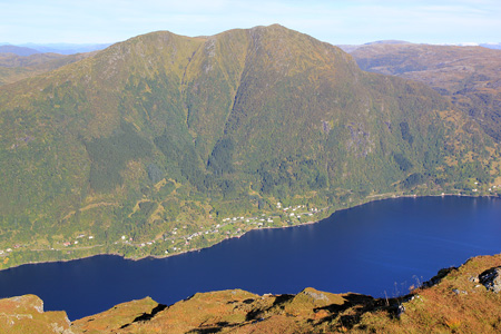
From this point, the route will continue along the main ridge towards the right. Cross a couple
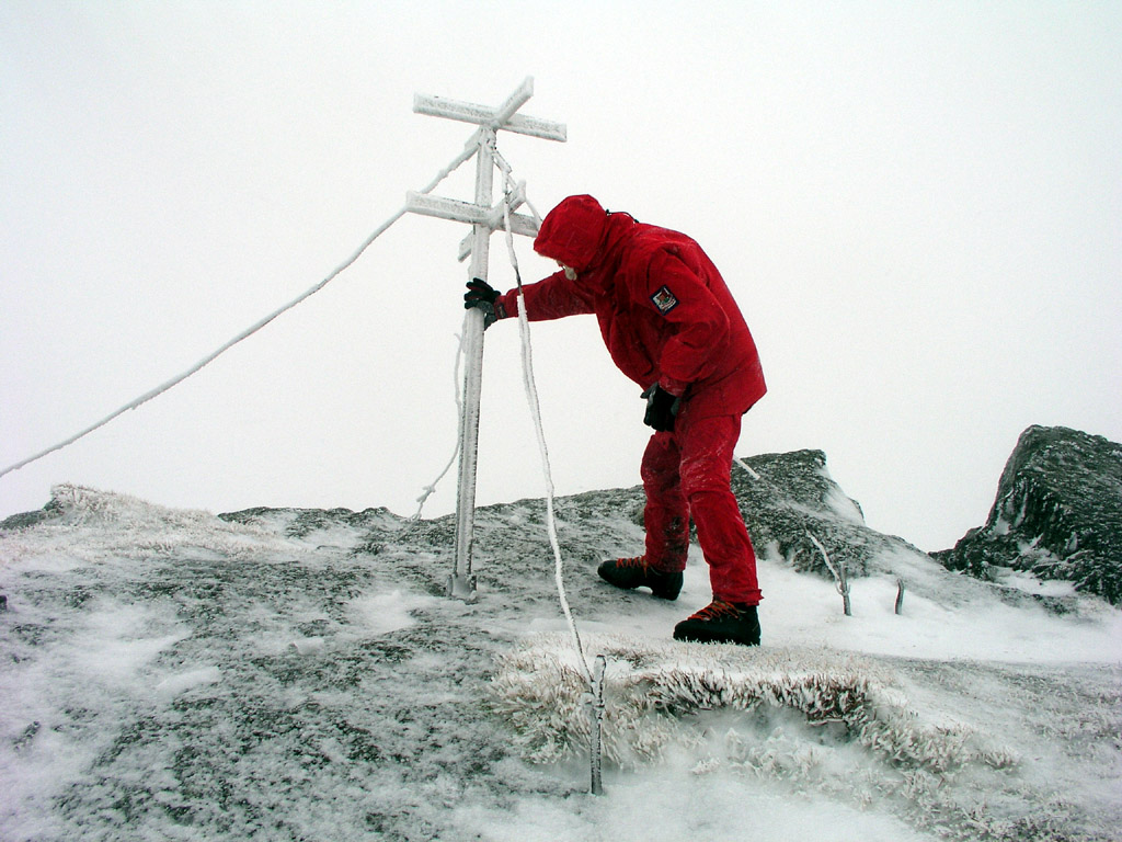
of false summits before finding the trigonometric marker as well as a mailbox for visitors.
See also the more complete description
on Arnt's
Hordaland page, including several alternative routes. Comments:
I did this hike with my son Pål Jørgen, age 14,
the radio forcasted storm along the coast, so we knew it would be windy.
Pål Jørgen needed to test (break in) is new Scarpa boots before
our somewhat more serious project next weekend. It was windy indeed, one needed to
hold on to the summit marker in order to not be blown off.
We had snow all the way from the parking, more higher up, but OK for a December hike.
We started at 1150, hit the summit at 1305, started down at 1315 and were back in the
car at 1400. The route is a (US class) 2 hike with the snow conditions we had.