How to get there:
From Bergen, drive E-16 towards Voss.
After leaving Dale, turn left on Hwy. 569, signed for Romarheim.
The road will cross to the right hand side of the fjord, continue
about 1.5 kilometer from here, then turn sharply uphill on a small
road signed for Hesjedalen. After crossing a bridge you arrive at
a T-junction. Turn right and continue about 450 meter to a signed
parking on your right, this is before the road crosses the river.
This location is N60.67817, E005.79478, elevation near 100 meter.
Route description:
Continue along the road, you will pass very close to a house before
you locate the forest road that starts uphill to your left. Follow
this road uphill until it ends above lake Træsvatnet. A marked trail
continues up through forest keeping left of the river, up to lake Gavvatnet.
The final part of this trail is fairly steep
Just as you reach the lake, cross the river near the outlet. When this river
is low one can cross on nice stepping stones.
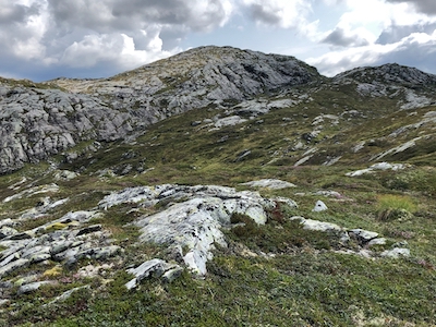
Continue directly up the ridge. Continue quite high, it is best to reach about 780 meter
before you head south-east to ascend the highest point. Comments:
This was my last peak located between E-16 and Eksingedalen. I just had time for a short
trip and this peak would indeed be a quick trip. I drove to the trailhead in our
electric BMW and was delighetd to see that it only used 25 percent of its capacity
to get me there.
The hike was quite nice. I had read that crossing the river involved a ford, but after
many weeks with less than normal rain, it was easy to walk across on nice stepping stones.
Ascending the ridge, I traversed left too early, but this did not cause any
significant delays.
I had started at 1300 and reached the summit in 2 hours.
The return trip took 1:30.