Location: North 60.80673, East 005.59690 (GPS on the summit)
Difficulty: YDS class 2
Climbed June 16, 2013.
Information:
How to get there:
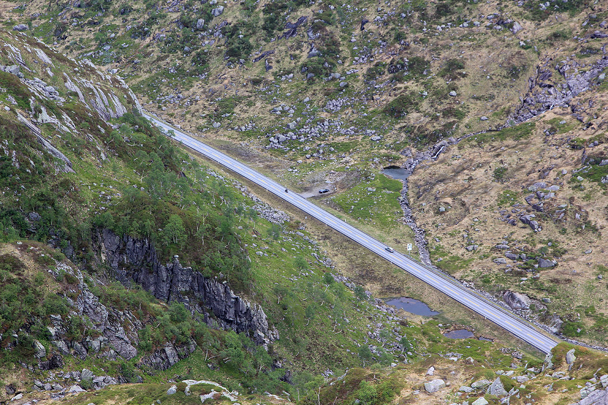
Drive north from Bergen on E-39. About 70 kilometer from Bergen, you have passed Romarheim and
the road is now going uphill to the highest pass before the Sognefjord. There is a small turnout
on your right hand side at the very highest point on the road. Park here, location N60.82184, E005.61383,
elevation about 435 meter.
Route description:
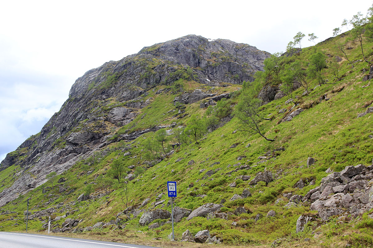
Walk a bit back along the road and pick a route that will take you up
to the beginning of the north ridge. The best line is quite some way
to the left (south) of the creek. Ascend to the small basin at the foot
of the ridge, location N60.81850, E005.61035, elevation about 550 meter.
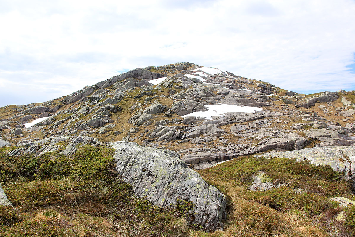
From here, follow the ridge, go left when the cliffs above are blocking.
The slope eases and the remaining part of the route is quite easy.
Comments:
I started out from my car at 1240. Crossing the road, I ascended directly
towards the ridge above, but I soon realized that ascending quite a bit further
south would have been smarter. Now, I was on the wrong side of the creek running in a steep
and unpleasant gorge. Anyway, I got up onto easier terrain, subsequently crossed a local hump
and arrived at the proper location by the base of the (north) ridge leading to
Blåfjellet.
The rest of the hike was easy and
I arrived at the summit around 1340 - one hour.
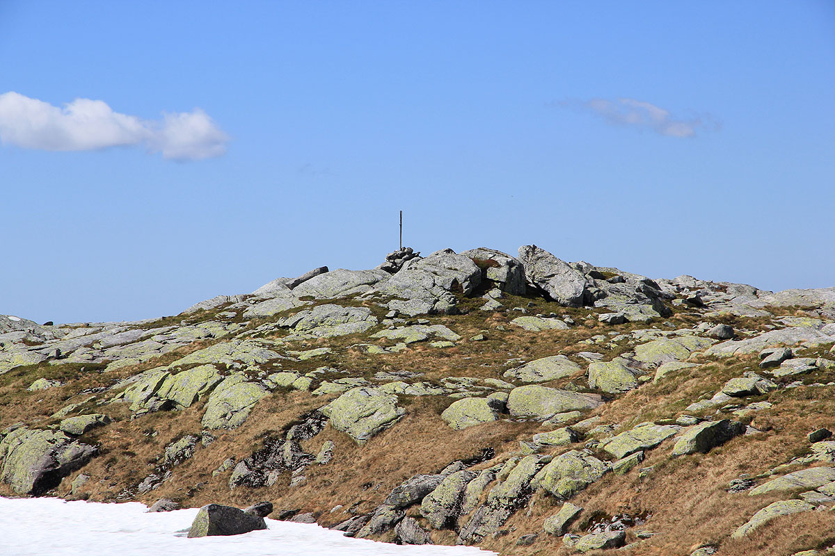
The summit is marked with a pile of rocks (no cairn)
and a pole. Good weather and pretty
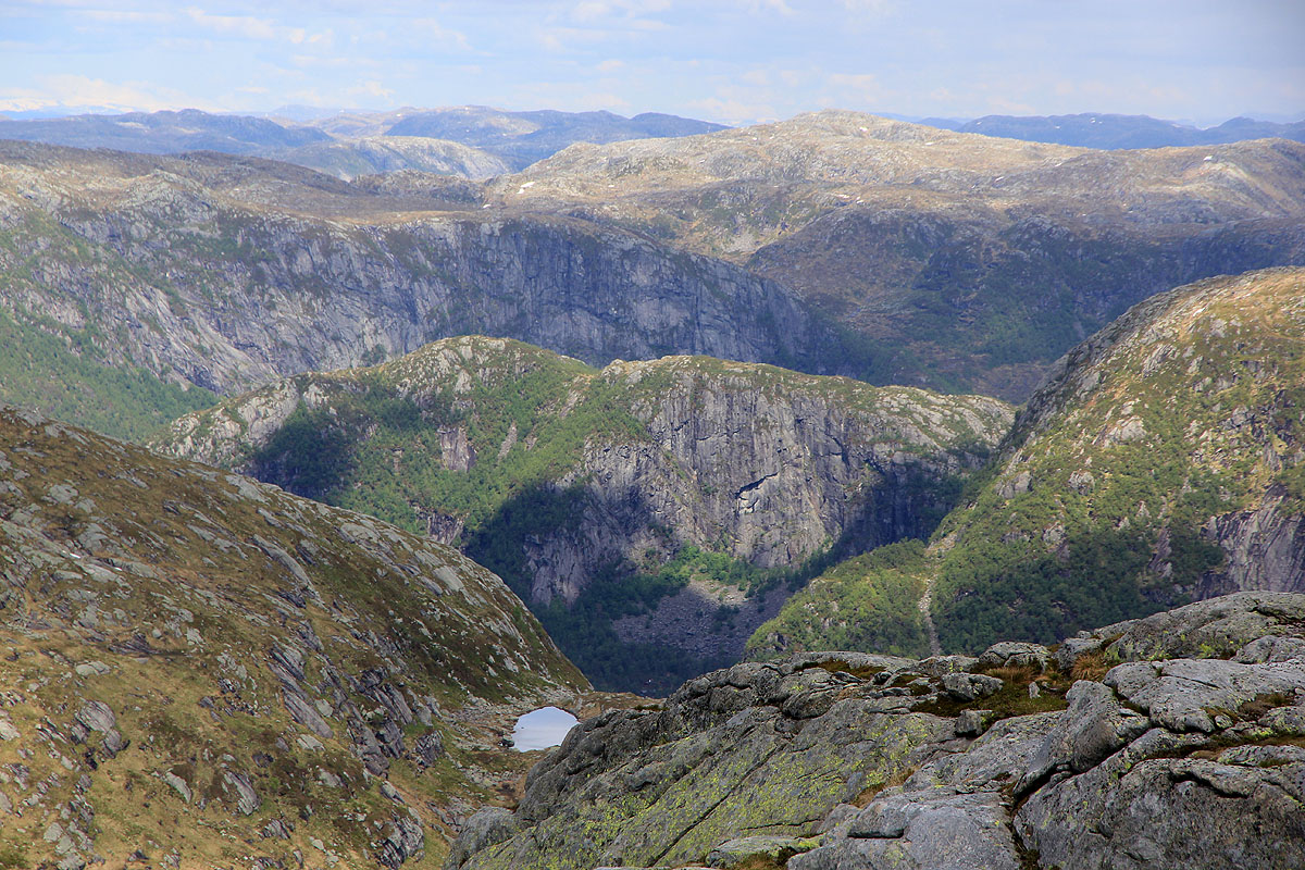
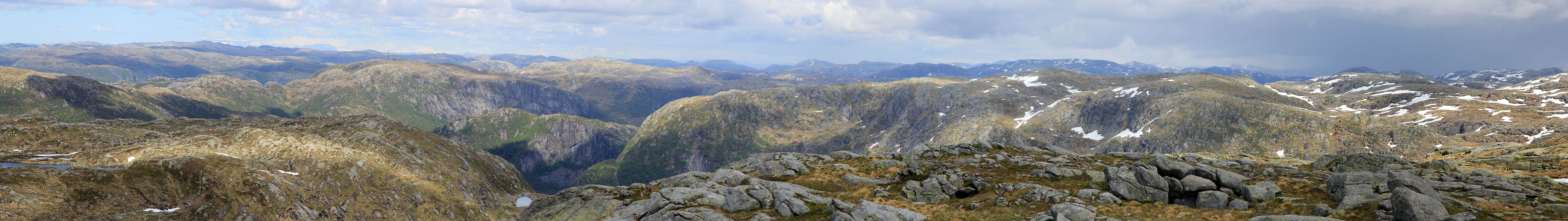
nice views all around.
To the south, I could see Gullfjellet,
there was still some snow on its north side. Across, to the east,
there were still a number of snow patches,
but summer has clearly arrived.
I caught sight of the antenna on top of Lønahorgi near Voss,
an interesting line of sight.
Leaving at 1255, I returned down the ridge, then down the way I
should have ascended, returning to
the car by 1440. Too early to drive home, I decided
to continue to Nonklettfjellet.
