Location: North 60.65715, East 006.04376 (GPS at the summit).
Voss, Norway
Difficulty, YDS class 2
Climbed on November 1. 2020
Information:
How to get there:
Drive E-16 from Bergen.
Continue E-16 past Trengereid towards Voss. Turn left across a narrow bridge in Evanger,
this is 80 kilometer from Bergen. Continue about 4 kilometer on
the narrow road in the direction of Eksingedalen.
There is a small area where one may park 1-2 cars at this location,
N60.67034, E006.08657, elevation about 60 meter.
Route description:
Do not proceed up the old remains of a road/path towards some old ruins. Rather look left, you will
see a straight line of big spruce trees making a border with the more open field. Head across to
the tree closest to the main road. Follow the trees uphill, you should see traces of an old trail.
Continue a steeper climb along the small ridge that runs uphill with a small stream on your left
side. The old trail is covered by green moss, but walking here is still fairly reasonable. Higher up,
the trail becomes more and more visible. Stay on the ridge or slightly on the left side (when looking uphill),
note that the stream shall always be on your left hand side.
The trail ends as it arrives at a first meadow at location N60.66790, E006.07638, elevation about
325 meter. There is a red pole marking this spot. Continue uphill, the terrain is quite easy to
walk. Stay as far right as convenient, it is generally easier to follow local ridges rather than
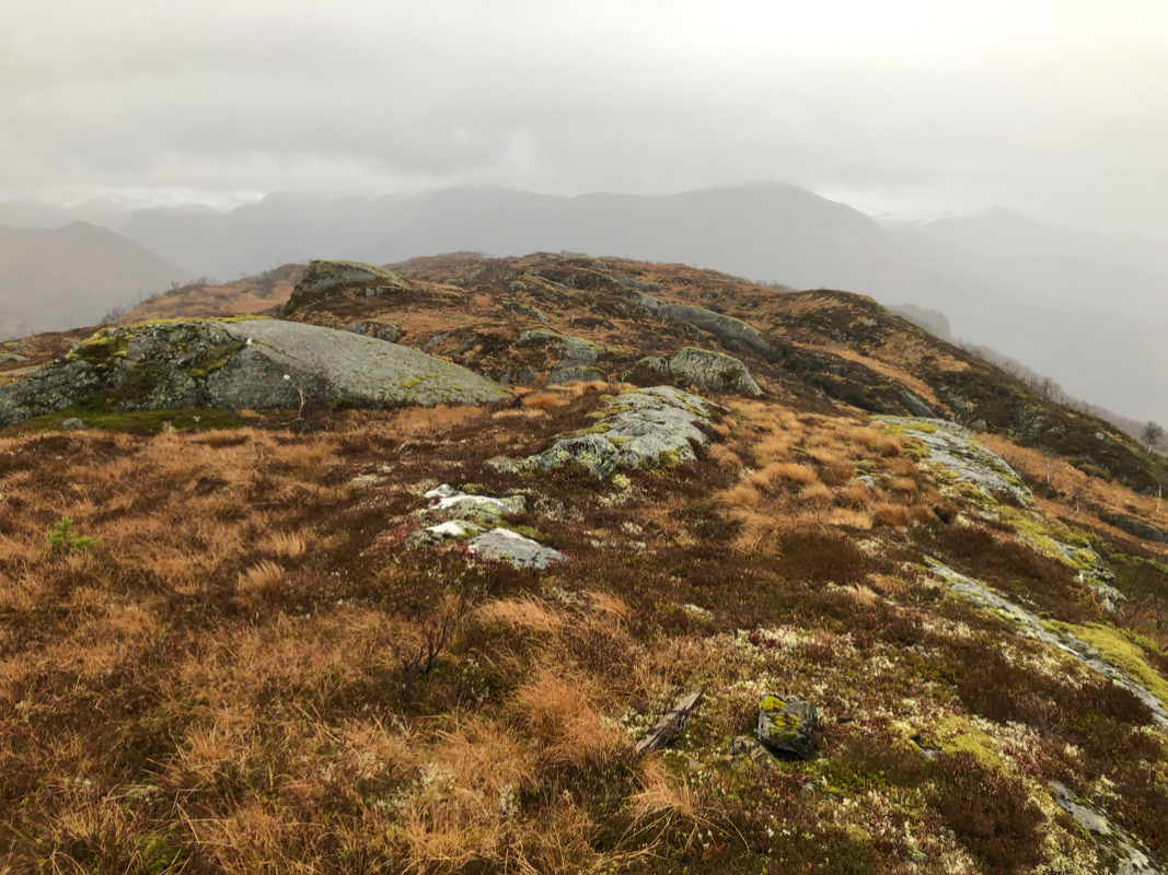
gullies. The upper part
of this mountain has several competing points of almost
equal elevation, the highest summit
is near the south-west end
of the high area.
Comments:
I started at 1045 and made the quite natural mistake of heading up from
the old ruins. The hillside was steep and I had climbed quite a bit before
hitting the trail. I followed the meadows higher up and crossed under the
power line, gradually moving (too much!) left. Thus, at the end, I had to traverse
several false summits and gullies between them in order to access the highest
point far south-west. Arrival was 1:30 after starting out. I took 10 minutes to
look around and check the elevation, then returning, this time more directly
following the terrain ridges back down to the meadow with the red pole.
Along the way, I came upon 2-3 deers. It is hunting season, but I think they are
pretty safe up in this terrain, the access being steep and a bit cumbersome.
The return hike took 1:15, altogether a nice visit to a place that most likely
has very few visits.
