Location: North 60:26.759, East 005:25.053 (GPS at the summit).
Bergen, Norway
Difficulty, YDS class 2
Climbed on July 2. 2011
Information:
How to get there:
Drive north from Bergen, pass Åsane and take E-16 towards Arna where
E-39 and E-16 split. Drive approximately, 2.8 kilometer and look for the right turnoff with
signs for Rødland and Gaupås. Follow the sign for Rødland as you make a right
then climb across a local saddle with a rather sharp curve on the small road. You will now have
Beitelen on your left side. Continue gently downhill and locate a very sharp left turn that serves
a few houses located at the base of Beitelen. Drive down the hill and park on the left side
of the road just before a gate. Make sure your do not block the road. This is the trailhead, location
N60:26.530, E005:25.057, elevation about 120 meter.
Route description:
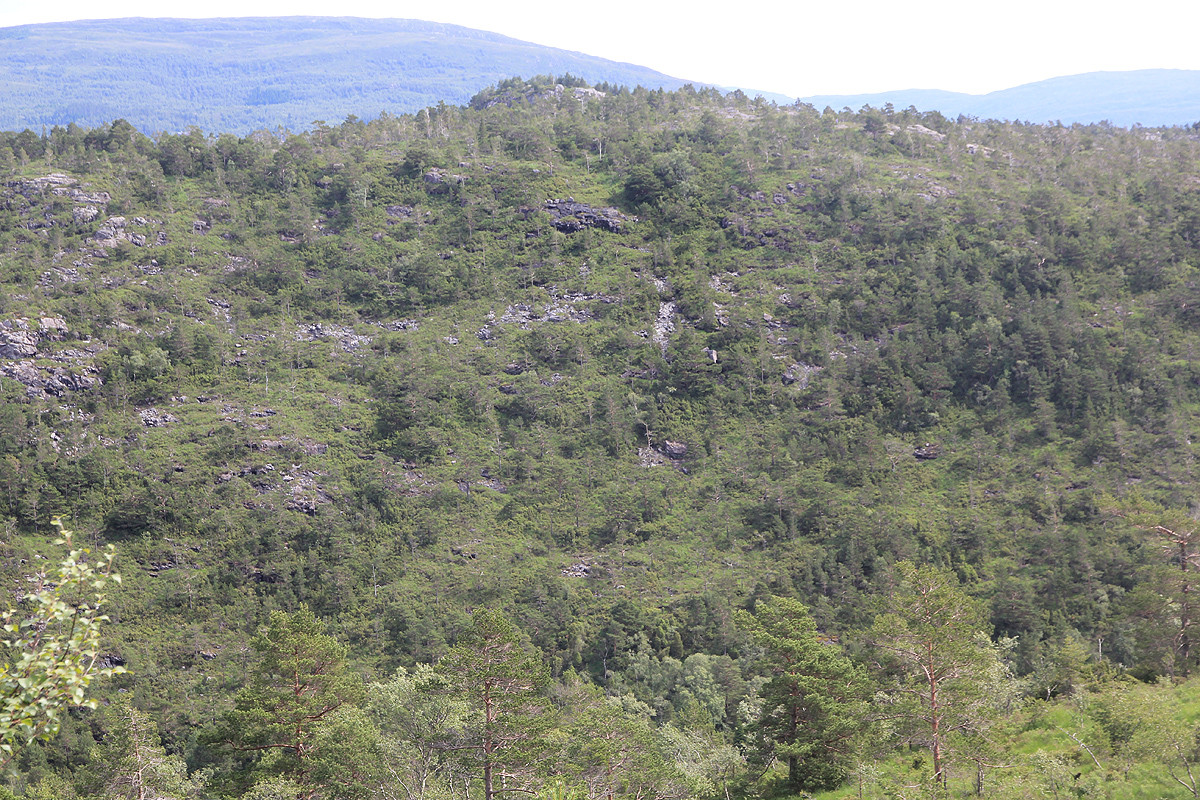
Cross the gate and head uphill while bearing to your left. You will hit an old forest track the climbs right.
Follow this until it becomes more flat. Head uphill from here and find a trail slightly higher that
climbs left. Follow this trail. It may become hard to follow, possibly head straight uphill until you
are at the main ridge and quite close to the summit. In order to find the highest point, head left and locate
the highest point among fairly dense vegetation, just before you get to the power line that runs across the hill.
Comments:
I left the trailhead at 1145 and arrived at the summit about 20 minutes later, at 1305.
I wanted to investigate the Sjurstonipa as
well as its key saddle on this trip. Based on the map only,
this peak could possibly also have 100 meter of prominence.
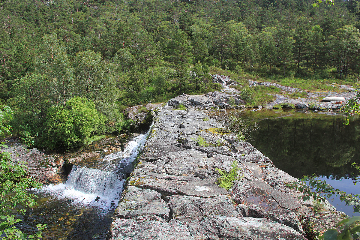
Thus, after the summit of Beitelen, I descended to the dam that
has been built at the end of lake Spåkevatnet (118 meter.)
The dam and the overflow outlet was easy to cross.
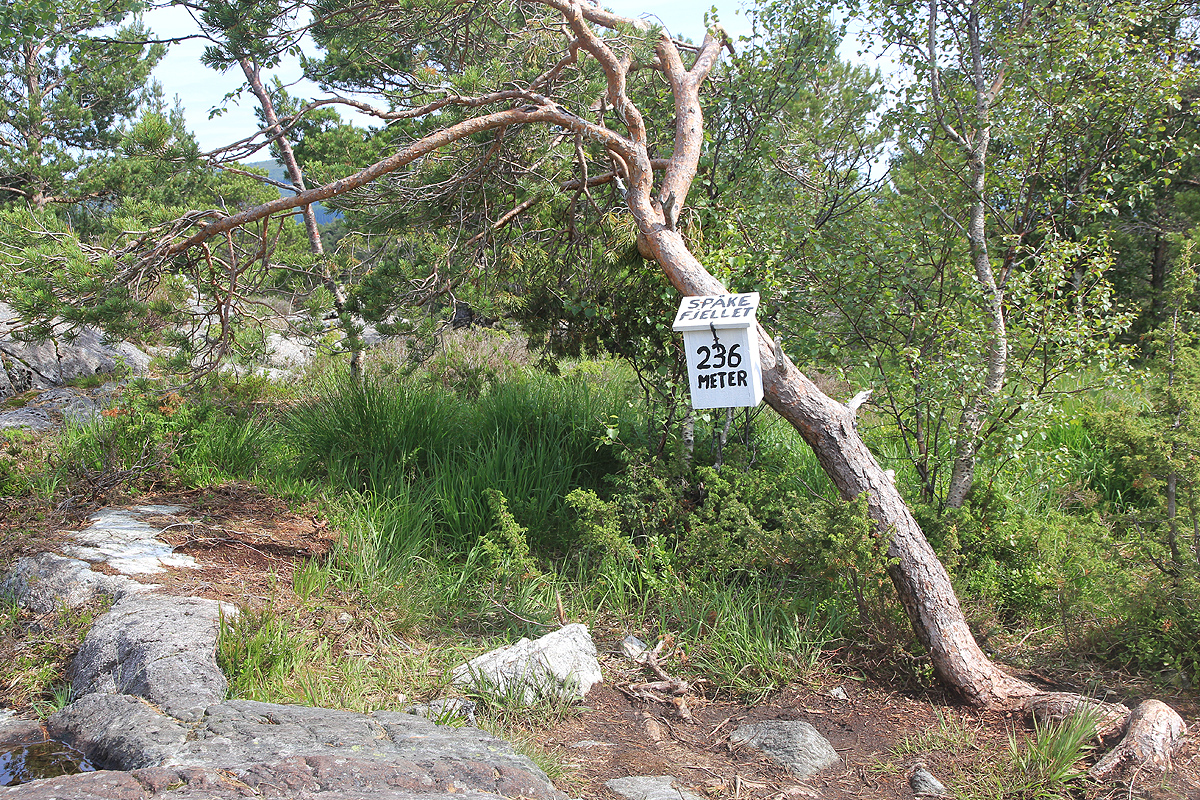
I then climbed (off-trail) steeply to Spåkefjellet
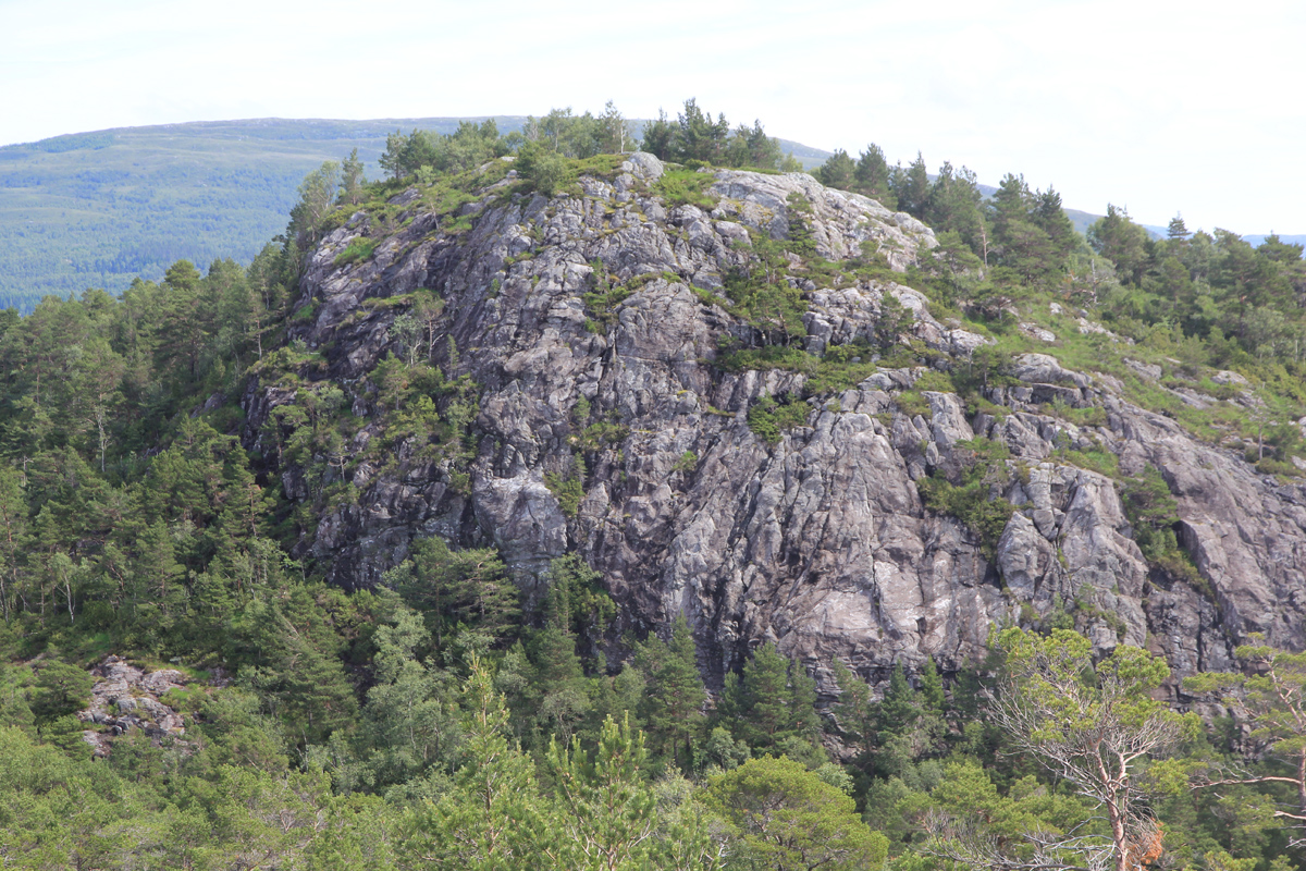
before a short descent got me to the base of the steep Sjurstonipa.
I followed a trail left (north). It soon forked and
a steep trail took me directly to the summit. This summit is located at
N60:27.009, E005:26.164. I arrived there at 1310.
From here, I followed a pretty good trail towards the key saddle, arriving there shortly before 1400. The measurements
confirmed that Sjurstonipa most likely have a prominence just short of 100 meter.
My GPS measurement gave a saddle elevation of 157 meter, while interpolation on the map
puts the saddle in the (150m - 155m) interval. Normal interpolation will then give a prominence of 99 meter, however it cannot
be ruled out that the prominence could be 100 meter.
The key saddle of Sjurstonipa is located at N60:25.867, E005:26.699.
Finally, my hike took me back to the road which I then followed back to my car, arriving at
1400.
I talked to a local farmer near the trailhead and he said the mountain was called Vardane by every local (on this side of the
mountain).
