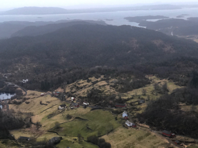
How to get there:
A good point of reference is the small community Hosteland, located north
of Masfjorden. To get there from Bergen, drive north on E-39. Just before E-39
enters the 4 km long Eikefet tunnel, there is a choice of route. Forking left onto
Hwy. 570, then connect from Masfjordneset to Duesund by (cable) ferry. This is a scenic
option. Alternatively, continue on E-39 passing the two fingers of Masfjorden, then an
uphill tunnel to the intersection with Hwy. 571. Turn left here, descending on the north
side of Masfjorden to meet Hwy. 570 near Hosteland.
The third, and perhaps best way, is to use the ferry from Leirvåg. Turn left in the
very first traffic circle in Knarvik (immediately after the bridge), follow Hwy. 57 to
Leirvåg. This ferry leaves 15 minutes past the hour. The return ferry leaves
Sløvågen 15 minutes before the hour. The crossing takes 20 minutes. From
Sløvågen, you have 14 kilometer to reach Hosteland.
From Hosteland, take Hwy. 570 west to Rambjørgsvika (or arrive here directly from Sløvågen).
Turn north on Rambjørgsvegen and drive towards Rambjørg.
Find parking along this road near its highest point (before it reaches the lake). This location
is 60.85514, 5.17758, elevation about 40 meter.
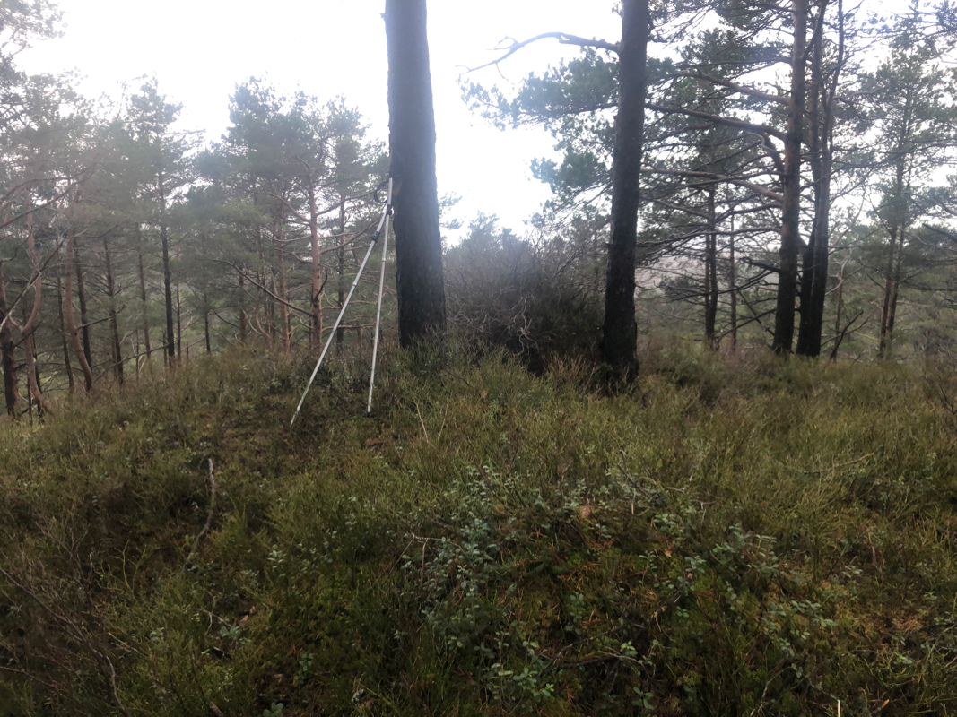
Route description:
The summit is about 500 meter west, pick your way in that direction, stay
north of the highest terrain along the way.
Comments:
This was my second peak (of 7) on this day of local hill-bagging.
I arrived at the summit
around 0800 in the morning.