How to get there:
Drive E-39 north from Bergen. Immediately before the long Eikefet tunnel, turn left
towards Masfjordnes on Hwy. 570. Drive to Masfjordnes (a bit less than 30 kilometer), then
continue along the fjord (do not take the ferry!) to the small community called Totland.
Just after the road turns more north (in Andvika), locate a signed road that forks (slightly) right.
After 1.1 kilometer, this road becomes a toll road.
Stop and pay toll. Next, continue to lake
Storevatnet. Keep right here, the road now turns into the narrow valley Meisdalen.
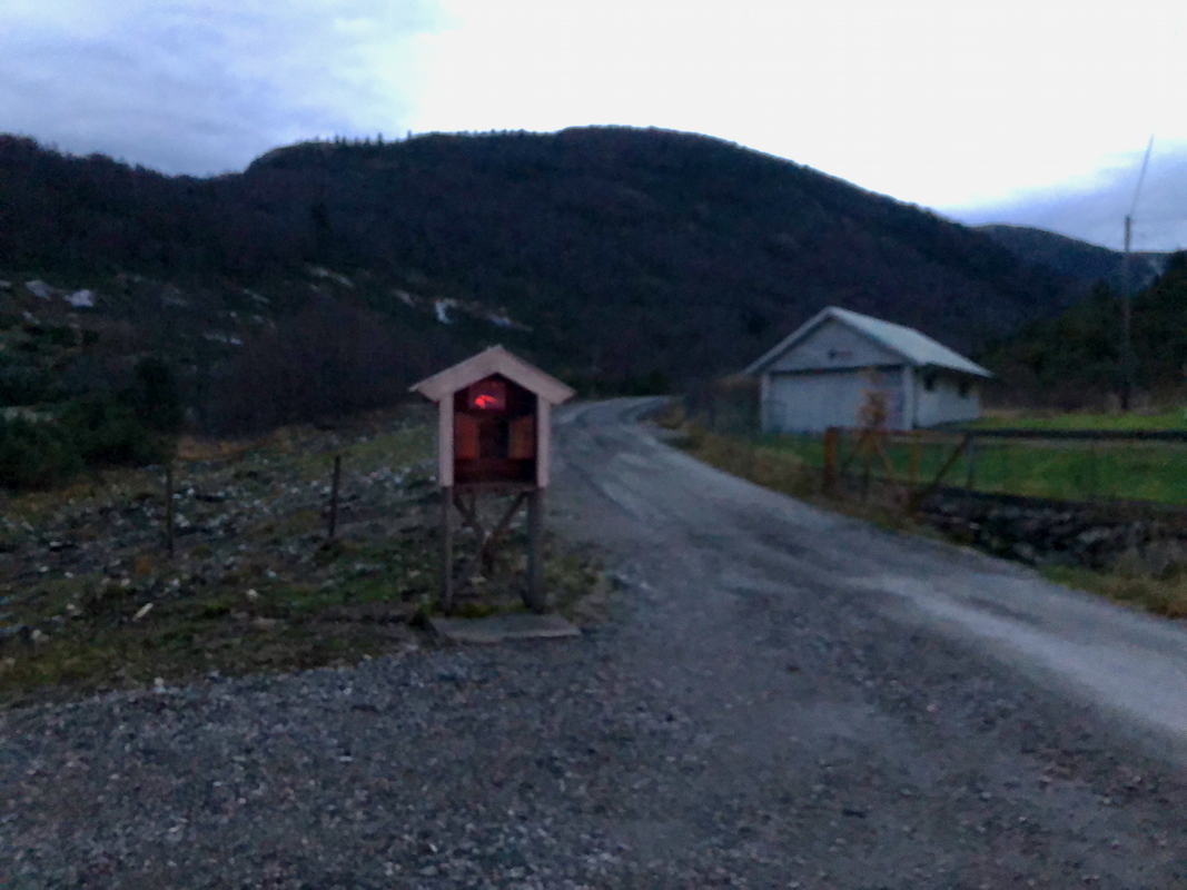
Continue until the road ends with a nice parking area. This is location
N60.81617, E005.42098, elevation about 250 meter.
Route description:
From the trailhead, follow the nice trail signed for Kalvedalshytta.
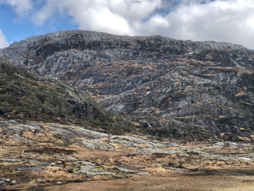
This trail first runs up the valley to reach a distinct col.
Next, the trail (marked with cairns and red "T"s) heads more east then
contours south-east. As you arrive south of Husefjellet (698m), leave the trail
and go east towards the north side of lake 506ma. Cross the creek and find your
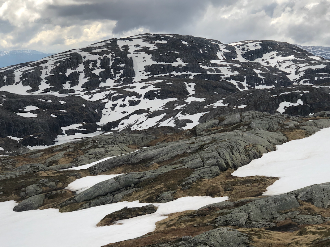
way up the south-east side of Austrefjellet.
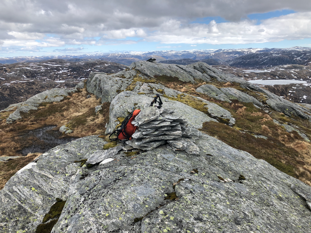
Some local route-finding, but
no climbing is needed. The cairn
is near the north end of the mountain.
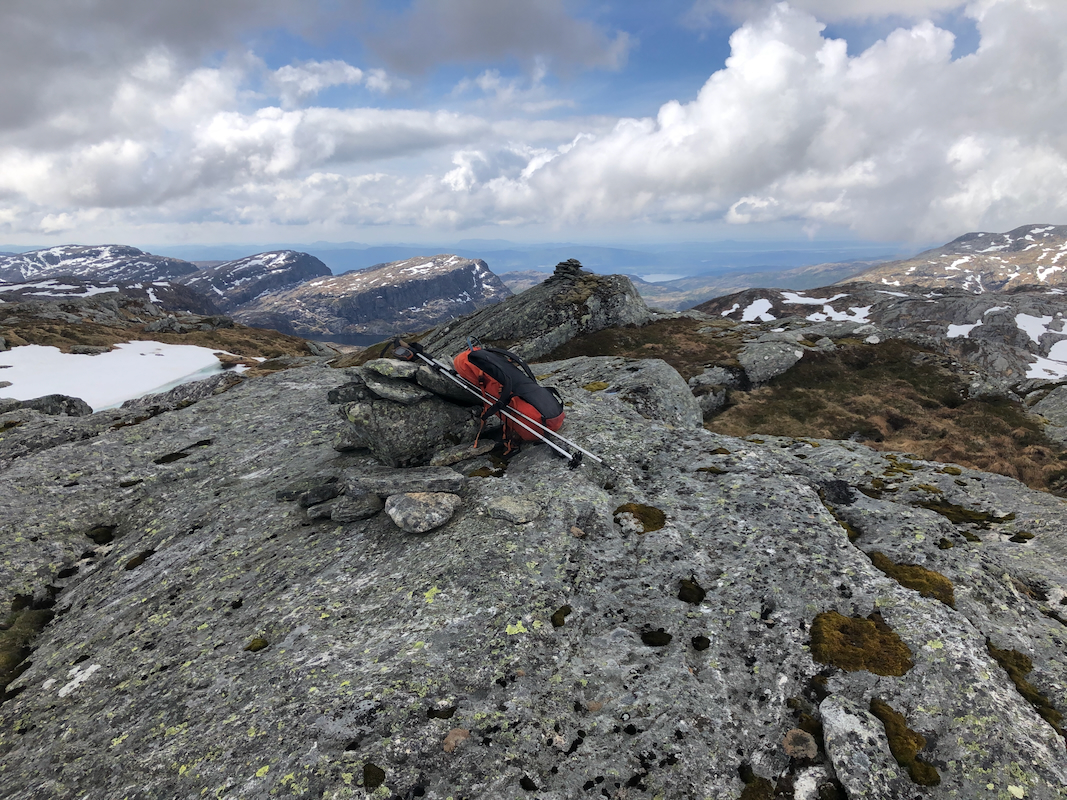
There are two, quite close summit points. Comments:
I left the trailhead around 1000, arriving at the summit at 1230. A very
nice hike, no snow on this route today, May 20th.
I continued to Horga.
