Location: North 60.68842, East 005.50873 (GPS on the summit)
Difficulty: Trail, YDS class 2
Climbed June 8, 2013.
Information:
How to get there:
Drive north on E-39 from Bergen. Just after the second bridge across to Knarvik, you drive
through 2 traffic circles, measure from the first one. Continue 24.6 kilometer along E-39.
Turn left (to Masfjorden/Duesund) just before the Hwy. enters the very long Eikefet tunnel.
There is parking immediately on your left hand side. Park here, location N60.66502, E005.48537,
elevation about 90 meter.
Route description:
Cross E-39 and hike about 40 meter towards the tunnel. You will see a small
turn-off on your right a bit before the guard-rail starts along the main Hwy.
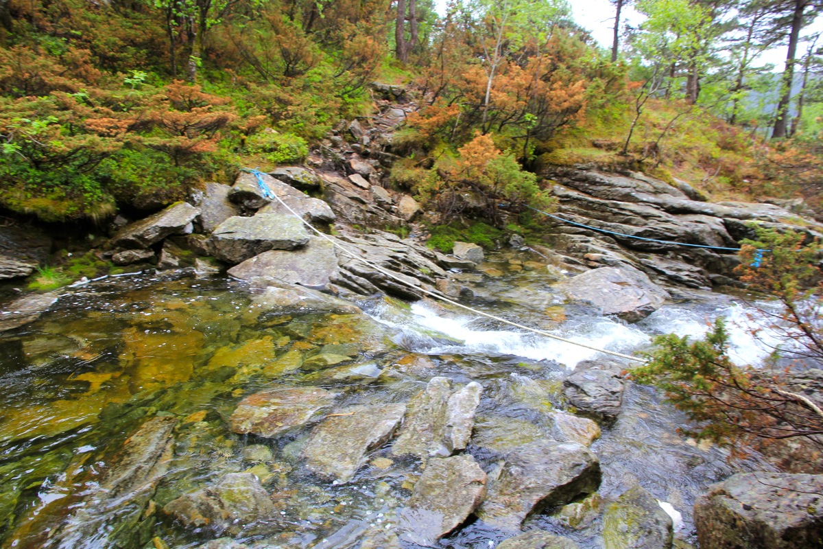
This is the beginning of a well marked trail. Cross a small channel on a wooden
bridge and follow the trail steeply uphill. Higher up, you pass through some sort
of gate, then cross the creek. This
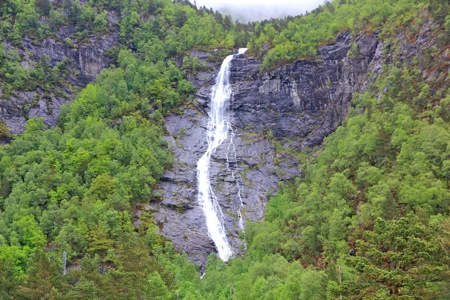
is just above the waterfall that can be
seen from the trailhead. The
trail now climbs on the left side of the creek, then
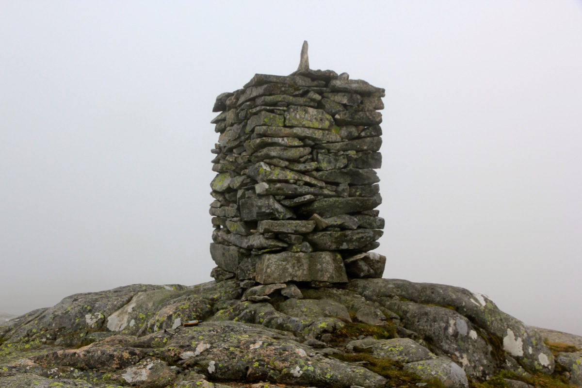
turns more left and continues uphill on smooth rock. The trail is well marked by chairns
from this point. You will eventually reach a small (local) col, then continue mostly
on rock up a bit right, then across the final terrain to the
very impressive cairn. Comments:
I left the trailhead at 1220. The weatherforecast promised sunshine from around 1300.
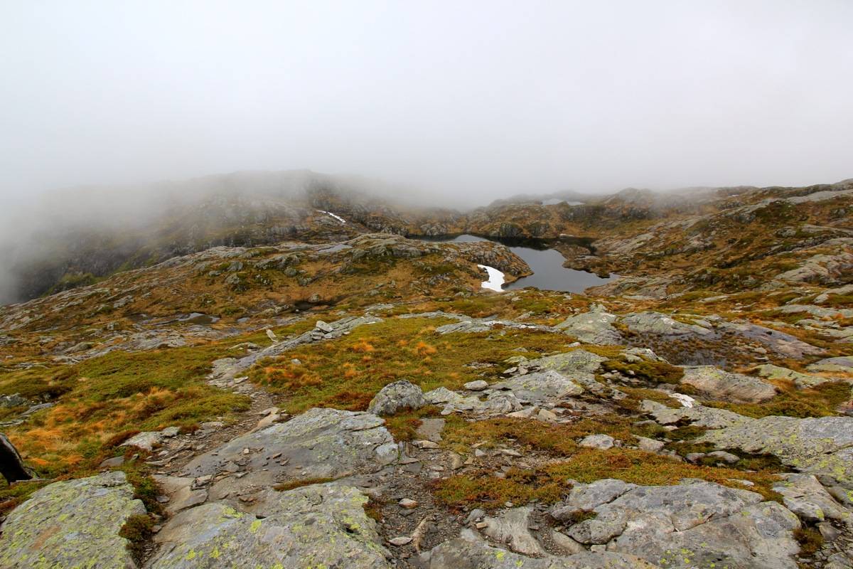
This failed to materialize,
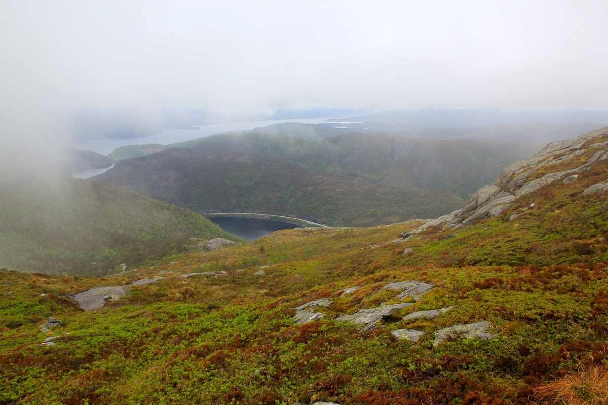
but the clouds cleared and there
was ok local visibility.
I made the summit at 1405, stayed around until 1415, then descended back down in 1:05,
arriving at my car after exactly 3 hours at 1520.
This hike can be recommended. It is fairly close to Bergen and the view is supposed
to be very good. The trail is quite popular as well. I met 10 people along the trail
on my hike.
Resources:
Images
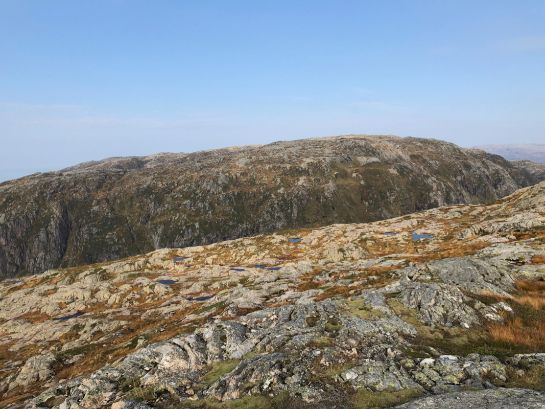
Austlendingen as seen from Husdalsfjellet, September 28th. 2020.