Location: North 60.72161, East 005.62609 (GPS at the summit).
Hordaland, Norway
Difficulty, YDS class 2
Climbed on November 12. 2020
Information:
How to get there:
Drive E-39 north from Bergen. Continue north and through the
long Eikefet tunnel. After this tunnel, then 6 more short tunnels.
Look for a small, nice parking area on your right hand side about 1.4 kilometer after the
last tunnel. This is the trailhead, location N60.73155, E005.63339, elevation about 15 meter.
Route description:
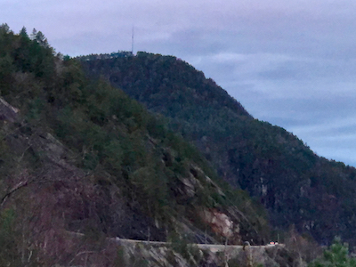
Walk back (south, towards Bergen) about 50 meter, then look for trail markers
leading up towards the ridge that is running down to the highway. The trail
is nice and well marked all the way to the summit. Comments:
I left my car about 1140, crossed the road and entered a small turnoff
on the opposite side. This led me to a small trail that ran up the
small, distinct valley that connects to Austredalen. I climbed steeply left
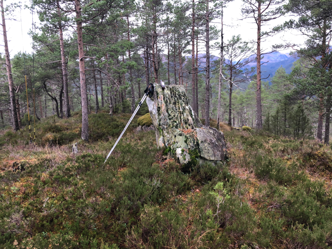
and found the proper trail, then followed it to the summit. The summit has
an antenna and a small building
very close nearby. I was there
at 1225, so 45 minutes. I had a small 10 minute break before I continued
to my next goal, Snøyo.