How to get there:
This mountain is located far south near Fusa and Tysnes, a municipality border crosses near the summit.
One may drive Hwy. 549 and Hwy. 121 south from the intersection with Hwy. 48 in Kilen, however,
the easiest approach is to drive from Våge on the island Tertnes. (You can get
to Våge by ferry from Halhjem in Os.)
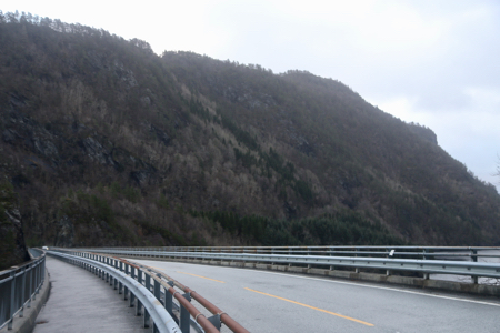
From Våge, drive Hwy. 49 towards Fusa, after crossing the bridge that connects
Tysnes with the main land, continue through one tunnel.
Turn right (still on Hwy. 49) at the first intersection, towards Gjermundshamn,
Very shortly, turn right again onto a smaller road signed Stussvik. Proceed on this
road (a short distance) to locate a signed trailhead with a small parking area, where
a local road forks right. Park here, this is the trailhead, location
N60.03005, E005.72355, elevation about 50 meter.
Route:
Comments:
I left my car at 1230 and arrived at the summit area by 1310.
I visited several local tops that may only differ by one meter between them.
This is a very nice trail, obviously the locals mainly visit the
first summit called Stussvikhovda, only slightly lower at 323 meter.
The trail that continues to Aldalsnuten sort of ends near the last
local top with a pretty good view down to Lukksundet and the bridge crossing
from the main land (here) to the large island of Tysnes.