Location: North 64.34383, West 21.94386 (GPS at the summit)
Climbed May 21, 2016.
Difficulty: YDS class 1
Information:
How to get there:
This mountain is located conveniently close to Reykjavik.
Take the main Hwy. 1 north in the direction of Akureyri.
Drive through the tunnel that crosses the fjord (Toll 1000 kroner in 2016),
then exit left (west) signed for Akranes. The mountain is now up on
your right hand side. Pay attention as you want to exit right at a small,
unsigned road, there is a small (open) gate and a cattle guard right where
you exit. This is after you have passed some houses located at the lower
pert of the hillside. The road should head in the direction of the small
valley separating the mountain into two segments. If you miss this exit,
there is a second option after you pass the exit to Akranes, this time
near some sort of local garbage site. Drive to the base of the hill, there is
a signed, fenced in parking lot protecting the cars from animals with an entrance
across a dedicated cattle guard. Park here at location
N64.32806, W021.98641, elevation about 50 meter.
Route:
Leave the parking area and walk a few meter on the dirt road towards the hill.
Leave this road where it turns/forks and take the trail that heads directly
uphill. Higher up, this trail has wooden steps ascending to a local plateau.
There is a trail fork here, one may hike a big circular route visiting the mountain
both right and left. If you are heading for the highest point, then turn left
and follow a very vague trail gently uphill. You will see a very pronounced
rock spire up ahead. Proceed directly towards it, the trail will become easier
to follow once you get to the slightly steeper hill further ahead.
The trail will take you very close to the rock spire, then continue uphill along
the high ridge with a steep drop on your left hand side. After a number of
false summit points, this trail leads
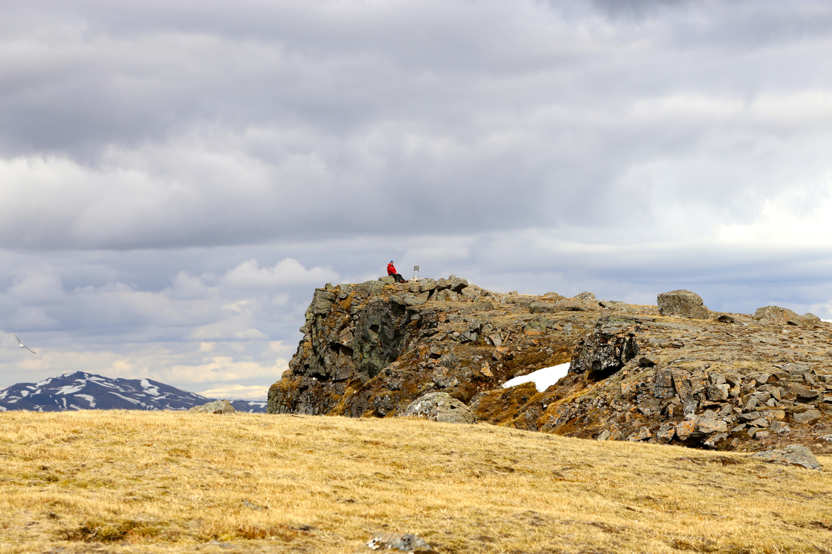
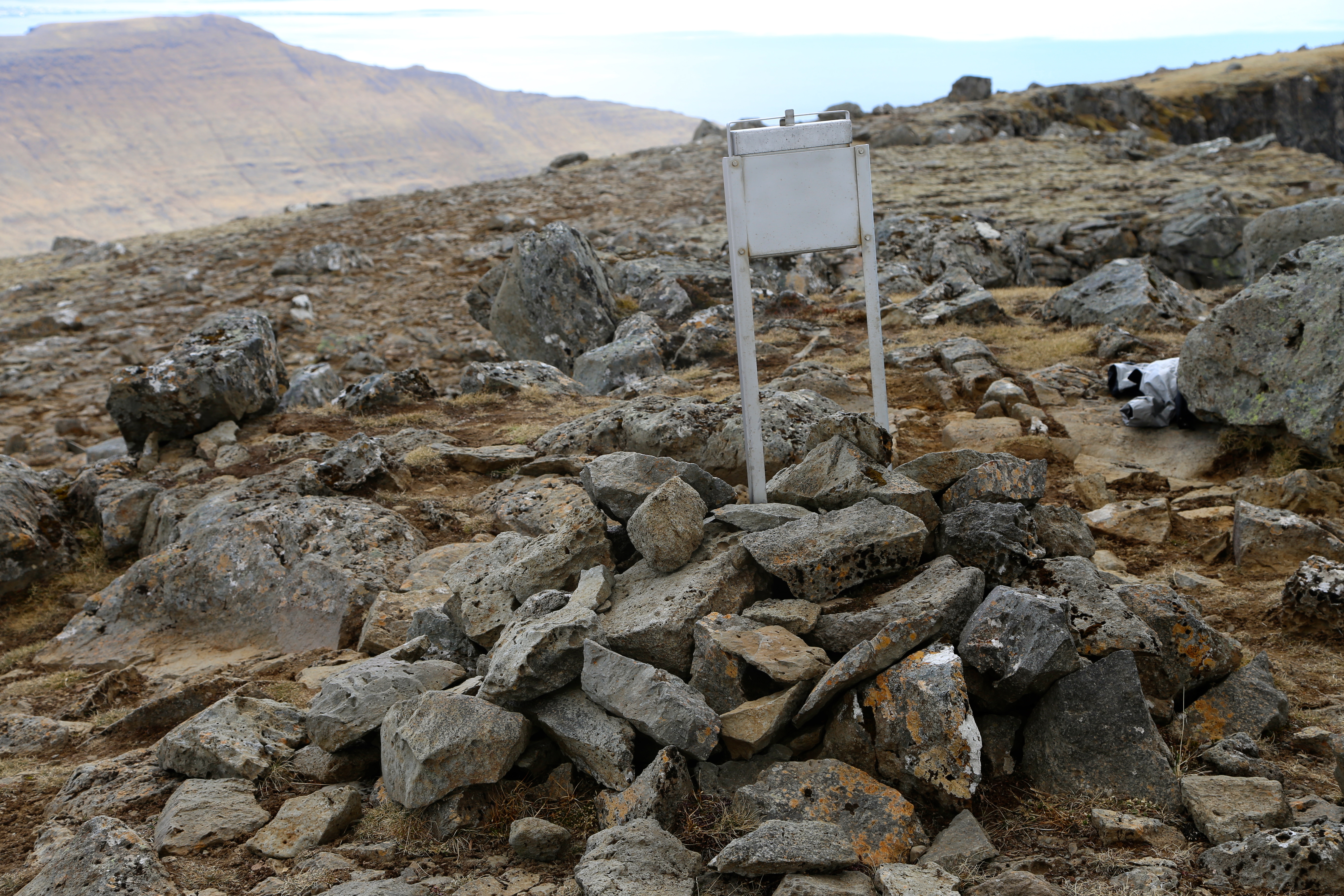
to the summit with a summit register.
The very highest point is located at a small grass triangle with steep drops
on two sides, about 50 meter beyond the visitor register.
Comments:
We had climbed Heidarhorn in the morning.
We then travelled to Akranes for lunch and a good rest before our last hike on this
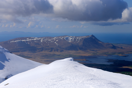
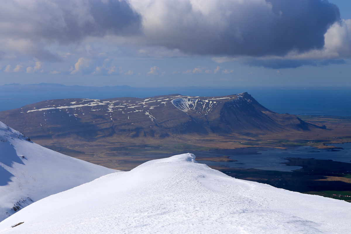
Iceland trip. We had already seen the mountain
from Heidarhorn and knew that there
would be little snow.
We were parked at the trailhead and ready to go by 1330. The terrain looked easy and
we all went with jogging shoes, first time on this trip. I pushed on and arrived
on top after 55 minutes,
not bad for a 600 meter elevation gain. We spent
about 20 minutes on top.
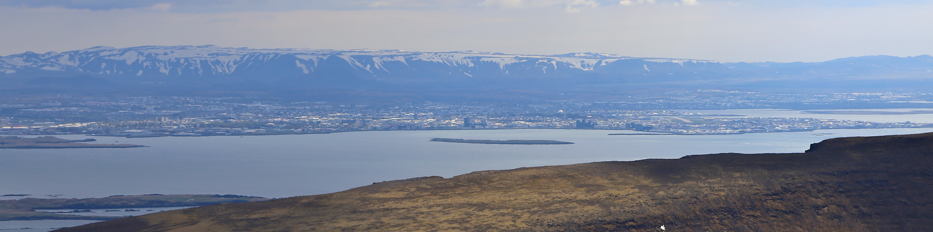
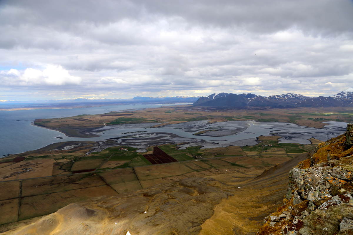
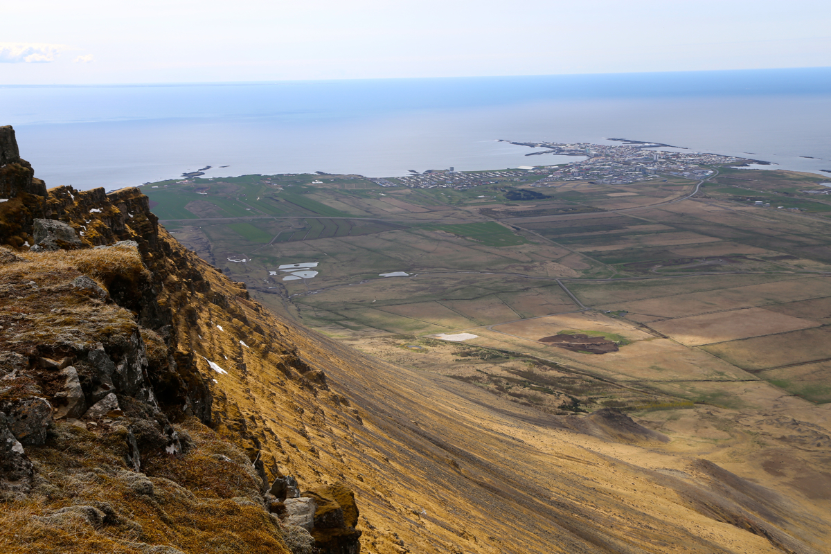
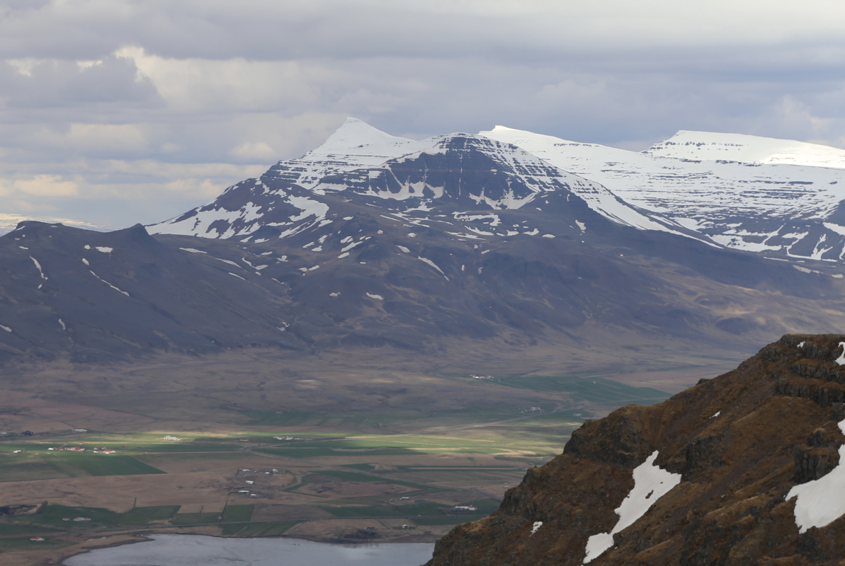
Enjoying the good view of Reykjavik as well as the more
local view of the coast
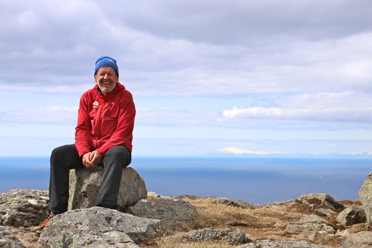
and the flat areawith Akranes just below. Greg signed the visitor
register and
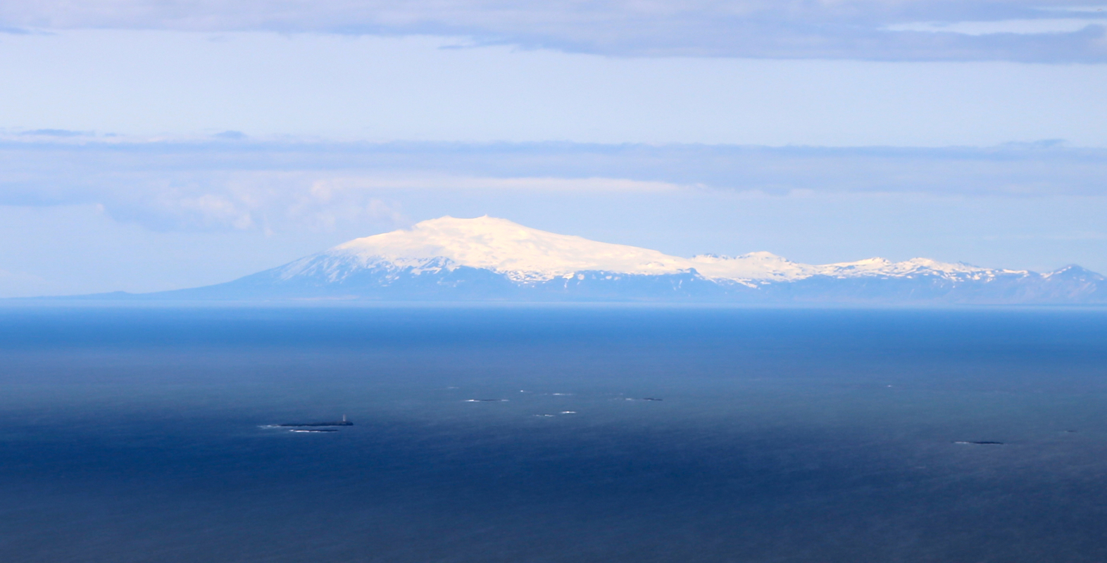
we also looked across
north to
Snæfellsjökull where we climbed yesterday.
The return hike took 50 minutes, all along an easy trail. We next drove to
Reykjavik and got the best room in "Hotel 100", the same place where we stayed
also last Saturday night. The evening was concluded with a farewell celebration
dinner at the nearby steak restaurant.
Thanks to Greg Slayden for good company, an American peakbagger that also
enjoys (and master!) skiing to peaks when the conditions permit.
Also thanks to Pål Jørgen for good map reading, always
with humorous remarks and not the least, his good skiing both uphill
and downhill.
Here is a quick summary of peaks climbed in or trip to Iceland.