Location: North 60:15.065 East 005:28.439 (GPS on the summit)
Difficulty: YDS class 2
Climbed April 22, 2012.
Information:
How to get there:
Drive south from Bergen on E-39. Just as you cross the small sign saying Søfteland, look
for a side road going left. The sign should read Gåssand. Drive this narrow road for 3.2 kilometer,
look for the first road that exits right. Drive up this side road until the top where a forest road forks
right. Park here, this is the trailhead, location N60:15.598 E005:28.944, elevation about 84 meter.
Route description:
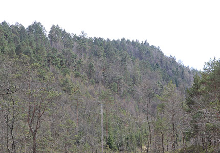
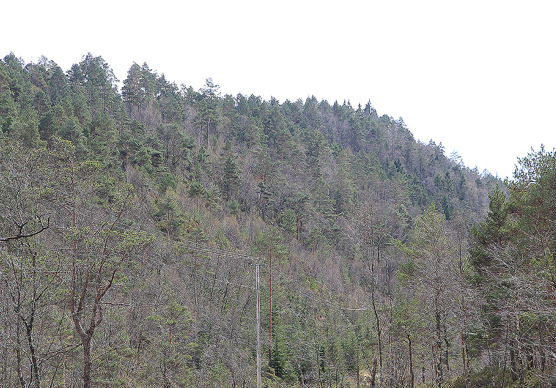
Walk the forest road until it ends. Continue on a vague trail. This trail is easy to
loose, it is also very cumbersome with fallen trees and sometimes, many branches from
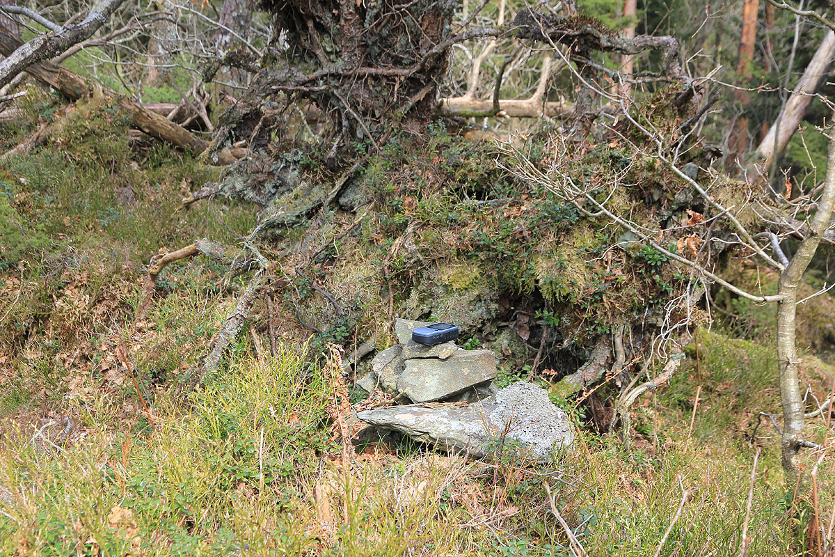
standing trees. At the summit, you will find a very small cairn as well
as a pretty nice shelter. Comments:
This hike cannot be recommended. The terrain is about as bad as it can get in Hordaland.
I started at 1445 and arrived at the summit point about 1505. The return
was slightly easier, returning to the car at 1530.