How to get there:
First, drive to Ulvik in Hardanger. The best way is to drive Hwy.7, take the
fork towards Ulvik in the traffic circle inside the tunnel, that also serves the
Hardangerfjorden bridge.
As you approach Ulvik, you will see Åsen just on the
east side of the fjord. Drive aroound the end of the fjord. Fork right before the river when
you are directly east of the fjord. Fork left (uphill) at location N60.55370, E006.92855.
Continue uphill until you are near location N60.55116, E006.94199, elevation around 190 meter.
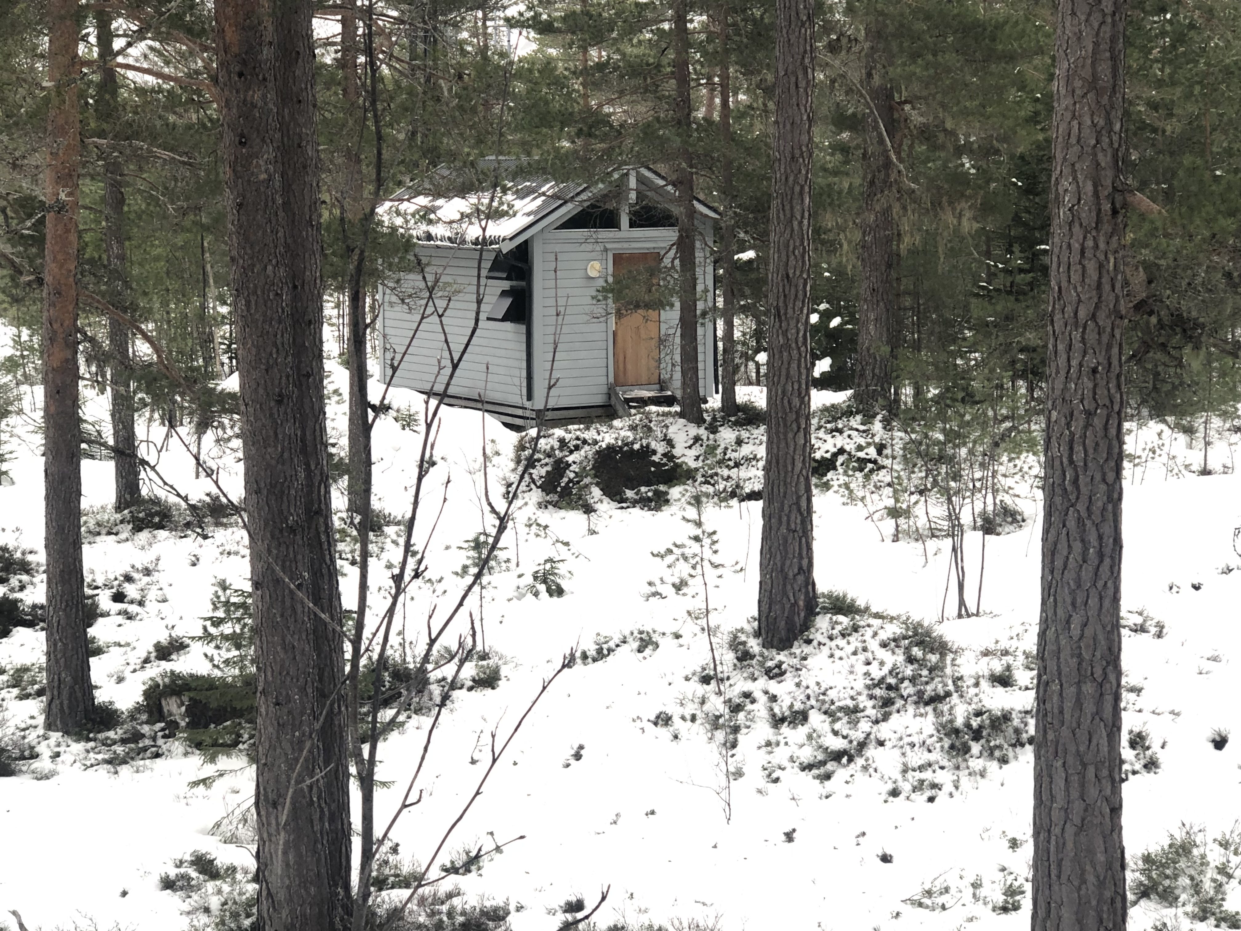
Ask about permission to park if you are able to locate any person up in this aarea.
Route description:
Continue directly uphill. There are a few small trails in
the area. There are several competing points for the highest ground.
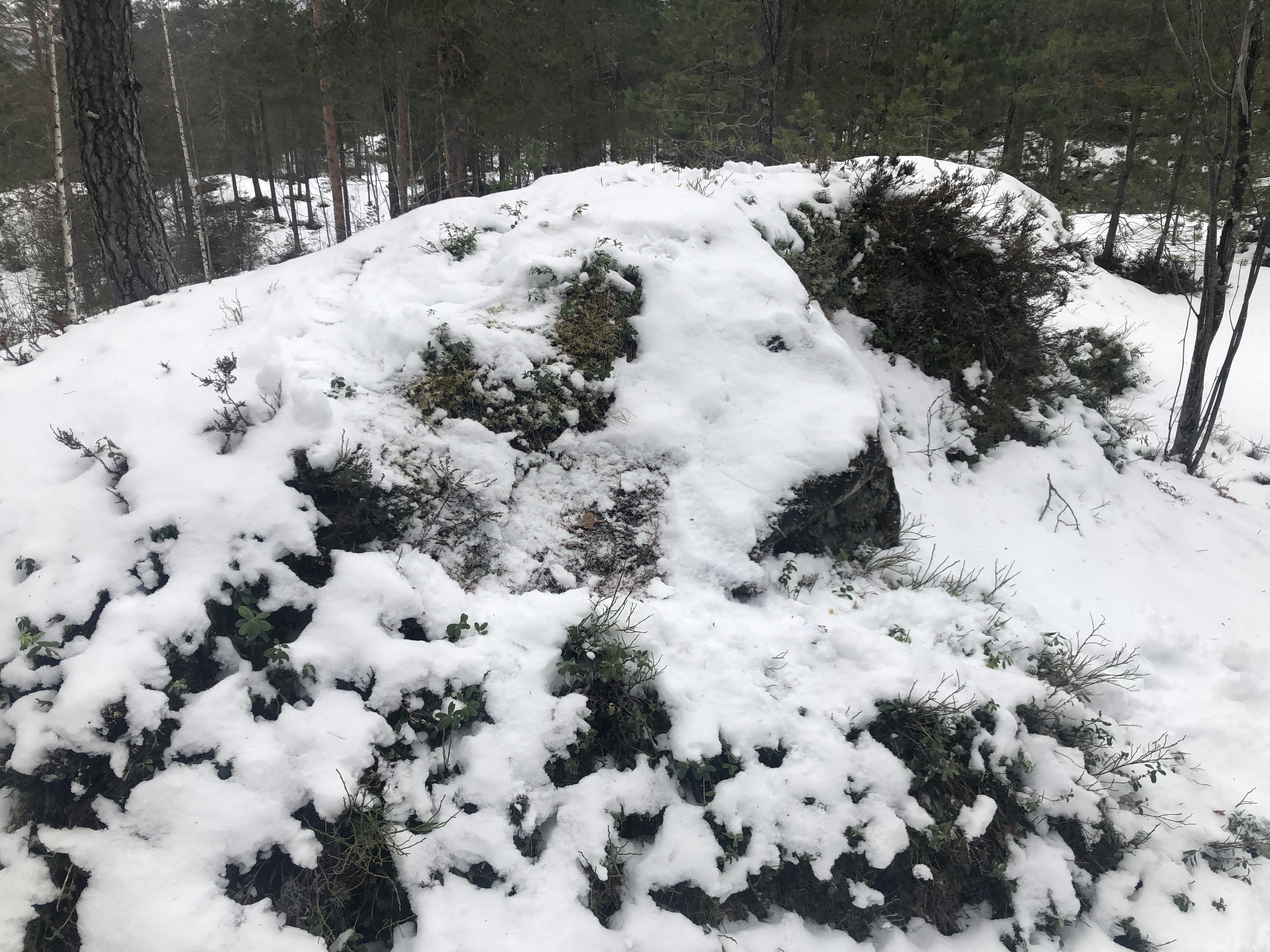
According to the lidar data on www..hoydedata.no, the highest point
is located at a small hump with
coordinates N60.55395, E006.94866, 268.8 meter.
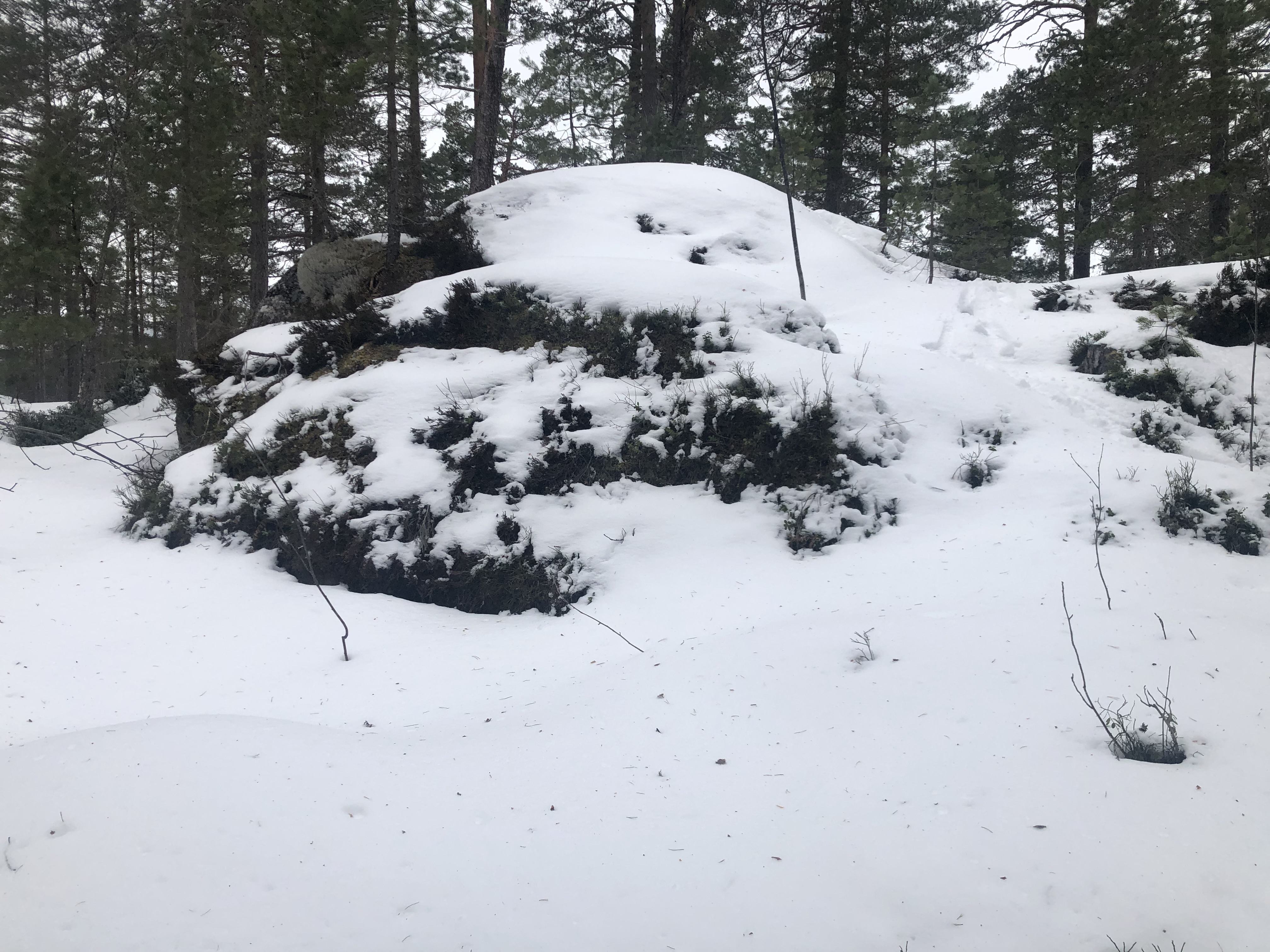
The next highest point is
at location N60.55350, E006.94794, elevaation 268.6 meter.
The two points are both pretty close
to a small antenna installation. Comments:
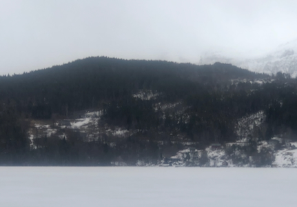
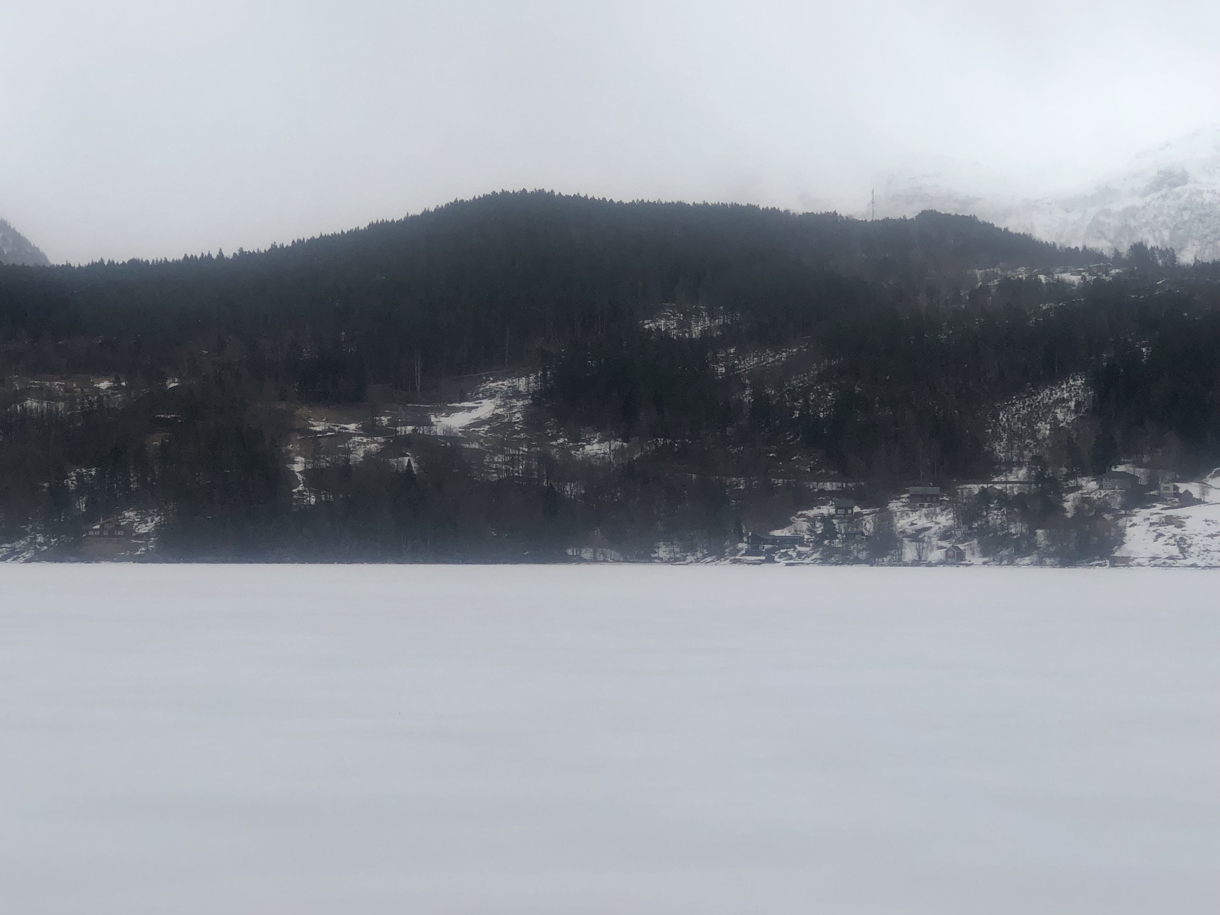
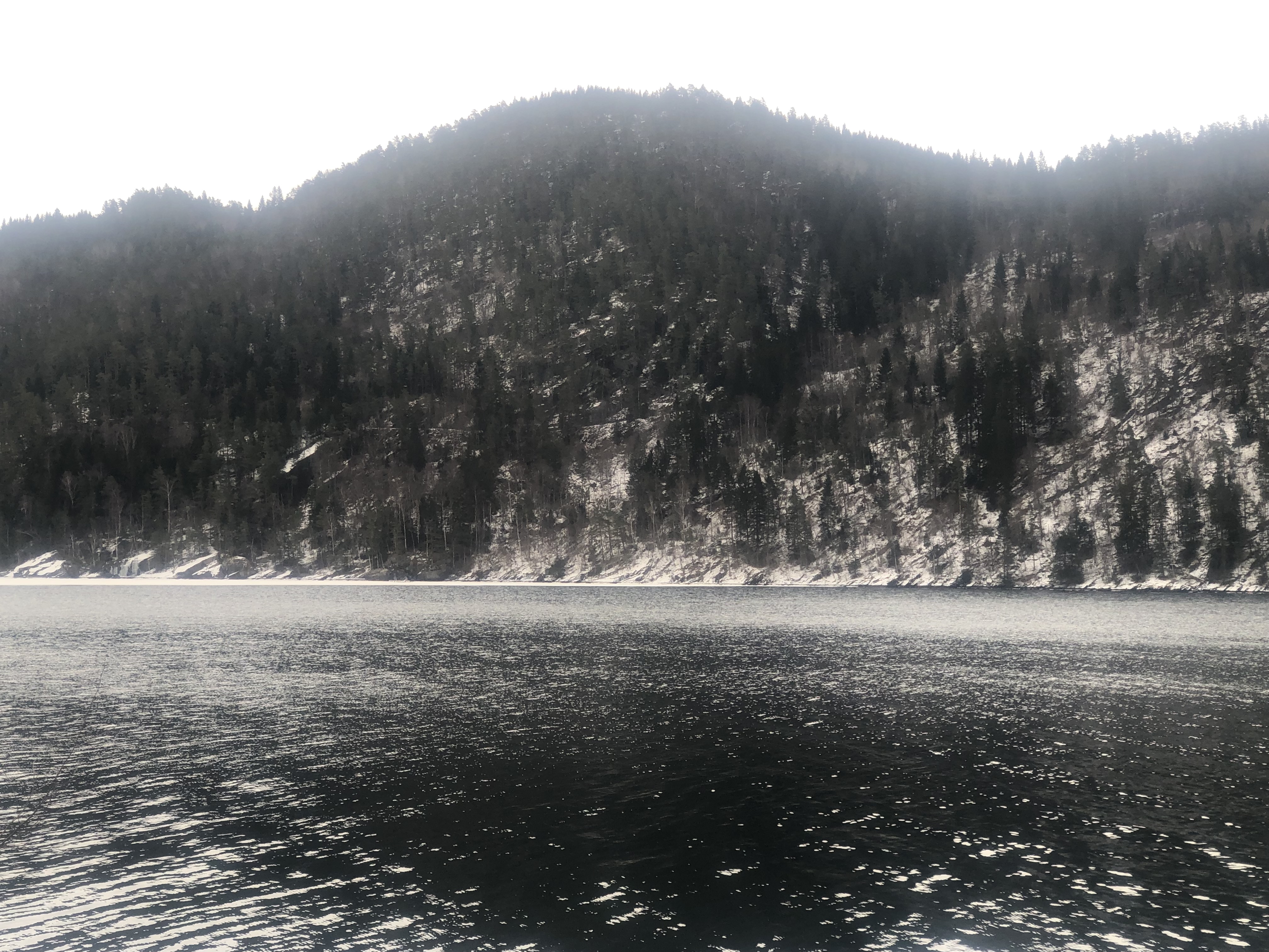
I was on my way to Voss, but drove along the Hardanger fjord, then through the long tunnel,
going straight in the traffic circle. The hill was in clear view across the fjord.
The final section of the road was covered by snow and quite slippery.
I was happy with 4WD as well as good (studded) winter tyres.
The ascent was completely straightforward. I had checked the lidar data before
leaving. The two highest points are quite similar and thus, deserved visits.
Returning to the car, the complete hike had taked about 30 minutes.