Location: North 60.33376, East 006.19709 (GPS at the summit)
Climbed June 16. 2018
Difficulty: YDS class 1
Information:
How to get there:
Drive Hwy. 7 to Norheimsund, turn right (south) on Hwy. 49.
Drive slightly more than 3 kilometer (Vikøy), turn right
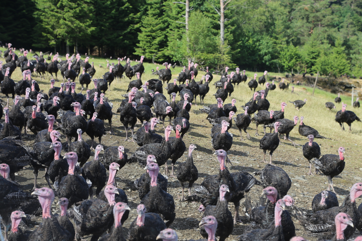
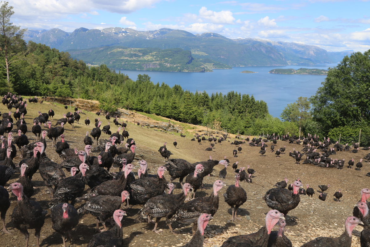
to Byrkjeland. Drive all the way to the top and park next to a field
with lots of turkeys.
Location N60.33393, E006.20462, elevation about 205 meter.
Route:
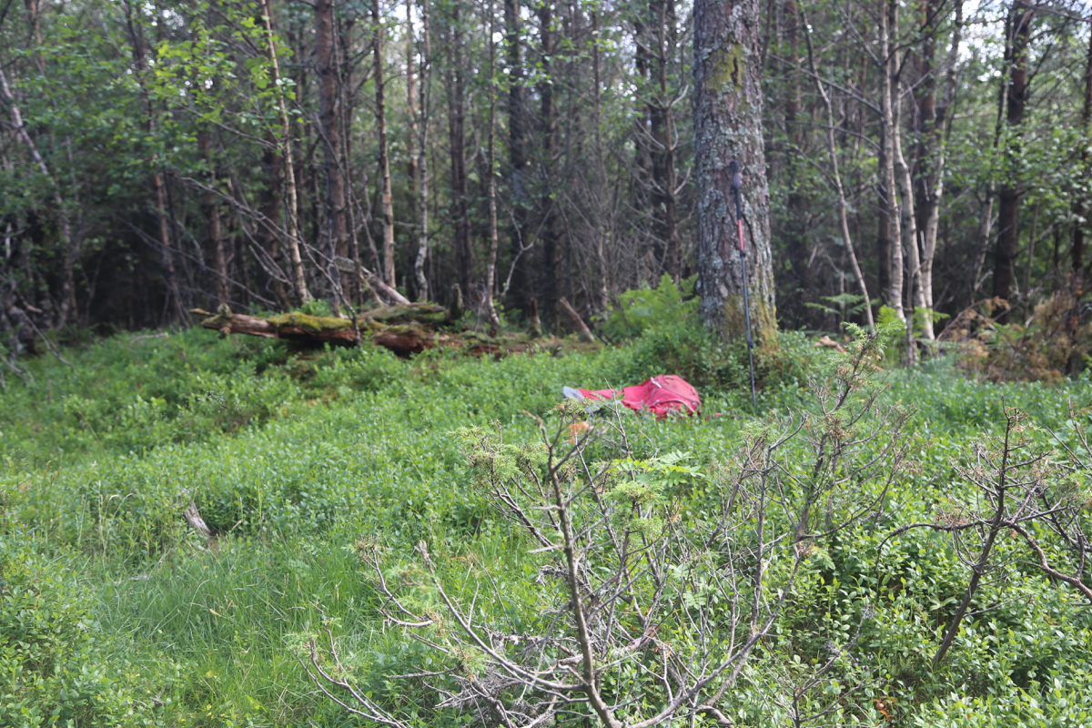
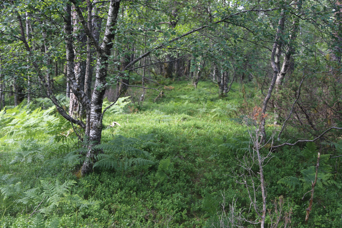
Take the tractor road that continues straight, then fork left and follow
a trail uphill. Higher up, the trail may be ahrd to follow, but you are
then only a very short distance from the top.
The top is on a small forest
ridge. The precise location is not well defined, but it is easy to walk across
the highest section. Comments:
I walked up in about 15 minutes and spent a few more minutes looking
around as there is no well defined high point. The return took about
10 minutes. The most notable thing are the turkeys near the
parking.
